188 Dozier Rd Moyock, NC 27958
Estimated Value: $247,000 - $474,000
3
Beds
2
Baths
1,996
Sq Ft
$192/Sq Ft
Est. Value
About This Home
This home is located at 188 Dozier Rd, Moyock, NC 27958 and is currently estimated at $384,000, approximately $192 per square foot. 188 Dozier Rd is a home located in Currituck County with nearby schools including Shawboro Elementary School, Moyock Middle School, and Currituck County High School.
Ownership History
Date
Name
Owned For
Owner Type
Purchase Details
Closed on
Dec 4, 2013
Sold by
Davidson Curtis Claud and Fulgham Kelsey L
Bought by
Davidson Claude A and Davidson Hilda P
Current Estimated Value
Purchase Details
Closed on
Jul 7, 2006
Sold by
Davidson Elizabeth Ann
Bought by
Davidson Curtis Claud
Home Financials for this Owner
Home Financials are based on the most recent Mortgage that was taken out on this home.
Original Mortgage
$137,025
Interest Rate
6.54%
Mortgage Type
FHA
Create a Home Valuation Report for This Property
The Home Valuation Report is an in-depth analysis detailing your home's value as well as a comparison with similar homes in the area
Home Values in the Area
Average Home Value in this Area
Purchase History
| Date | Buyer | Sale Price | Title Company |
|---|---|---|---|
| Davidson Claude A | $40,000 | None Available | |
| Davidson Curtis Claud | -- | None Available |
Source: Public Records
Mortgage History
| Date | Status | Borrower | Loan Amount |
|---|---|---|---|
| Previous Owner | Davidson Curtis Claud | $137,025 |
Source: Public Records
Tax History Compared to Growth
Tax History
| Year | Tax Paid | Tax Assessment Tax Assessment Total Assessment is a certain percentage of the fair market value that is determined by local assessors to be the total taxable value of land and additions on the property. | Land | Improvement |
|---|---|---|---|---|
| 2024 | $2,025 | $283,300 | $86,000 | $197,300 |
| 2023 | $2,012 | $271,600 | $86,000 | $185,600 |
| 2022 | $1,492 | $271,600 | $86,000 | $185,600 |
| 2021 | $1,484 | $197,900 | $52,000 | $145,900 |
| 2020 | $1,104 | $197,900 | $52,000 | $145,900 |
| 2019 | $1,104 | $197,900 | $52,000 | $145,900 |
| 2018 | $0 | $188,400 | $52,000 | $136,400 |
| 2017 | $1,022 | $188,400 | $52,000 | $136,400 |
| 2016 | $1,022 | $186,700 | $52,000 | $134,700 |
| 2015 | -- | $52,000 | $52,000 | $0 |
Source: Public Records
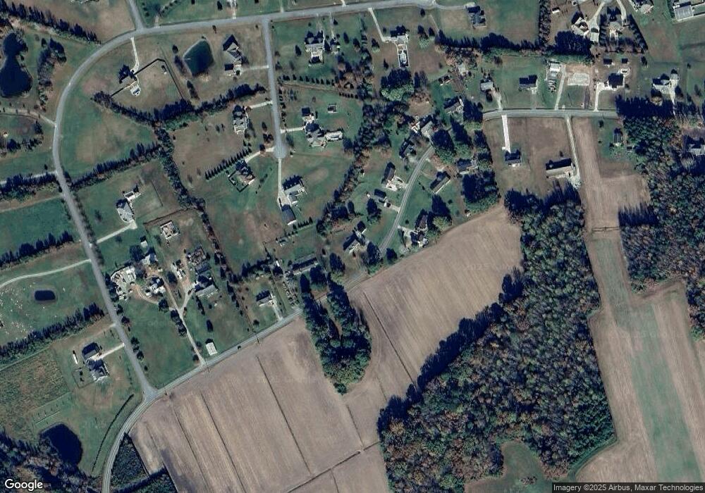
Map
Nearby Homes
- 219 Ambrose Ln
- 122 Dozier Rd
- 107 Clearwood Dr
- 113 Baxter Grove Rd
- 121 Bayside Dr
- 121 Bayside Dr Unit Lot 71
- MM Northern Pine (Derring I) Dr
- 106 Sound Shore Dr
- 0 Tulls Creek Unit 100510740
- 182 Wedgewood Dr
- 110 Carotauk Dr
- 137 Robert Walker Rd
- 114 Dogwood Dr Unit Lot 12
- 2286 Caratoke Hwy
- 192 Baxter Estates Rd
- 626 Poyners Rd
- 117 Laurel Woods Way
- 8 E Ridge Rd
- 498 Poyners Rd
- 50+AC Poyners Rd
- 119 Dozier Rd
- Lot 3A Dozier Rd
- 180 Dozier Rd
- 198 Dozier Rd
- 179 Dozier Rd
- 109 Phyllis Ct
- 174 Dozier Rd
- 174 Dozier Rd Unit Lot 1
- 210 Dozier Rd
- 171 Dozier Rd
- 170 Dozier Rd
- 107 Phyllis Ct
- 203 Dozier Rd
- 110 Phyllis Ct
- 163 Dozier Rd
- 166 Dozier Rd
- 220 Dozier Rd
- 108 Phyllis Ct Unit Lot 13
- 151 Dozier Rd
- 160 Dozier Rd