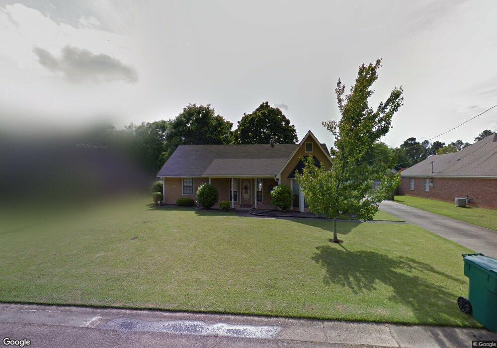
188 Drake Cir Columbus, MS 39702
Estimated Value: $206,000 - $246,047
--
Bed
1
Bath
1,728
Sq Ft
$129/Sq Ft
Est. Value
About This Home
This home is located at 188 Drake Cir, Columbus, MS 39702 and is currently estimated at $223,262, approximately $129 per square foot. 188 Drake Cir is a home.
Ownership History
Date
Name
Owned For
Owner Type
Purchase Details
Closed on
Sep 5, 2019
Sold by
Shaw Helen M
Bought by
Lin Liangyin
Current Estimated Value
Purchase Details
Closed on
Dec 20, 2017
Sold by
Yarbrough Brandon S and Yarbrough Ashley C
Bought by
Shaw Helen Morgan
Purchase Details
Closed on
Apr 28, 2006
Sold by
Elmore Jeffery T and West Elmore Felicia M
Bought by
Gillis Robert Lee and Gillis Vivian Celeste
Home Financials for this Owner
Home Financials are based on the most recent Mortgage that was taken out on this home.
Original Mortgage
$115,192
Interest Rate
6.31%
Create a Home Valuation Report for This Property
The Home Valuation Report is an in-depth analysis detailing your home's value as well as a comparison with similar homes in the area
Home Values in the Area
Average Home Value in this Area
Purchase History
| Date | Buyer | Sale Price | Title Company |
|---|---|---|---|
| Lin Liangyin | -- | -- | |
| Shaw Helen Morgan | -- | None Available | |
| Gillis Robert Lee | -- | -- |
Source: Public Records
Mortgage History
| Date | Status | Borrower | Loan Amount |
|---|---|---|---|
| Previous Owner | Gillis Robert Lee | $115,192 |
Source: Public Records
Tax History Compared to Growth
Tax History
| Year | Tax Paid | Tax Assessment Tax Assessment Total Assessment is a certain percentage of the fair market value that is determined by local assessors to be the total taxable value of land and additions on the property. | Land | Improvement |
|---|---|---|---|---|
| 2025 | $1,207 | $15,404 | $0 | $0 |
| 2024 | $1,195 | $15,404 | $0 | $0 |
| 2023 | $983 | $13,277 | $0 | $0 |
| 2022 | $984 | $13,277 | $0 | $0 |
| 2021 | $936 | $13,277 | $0 | $0 |
| 2020 | $869 | $13,277 | $0 | $0 |
| 2019 | $385 | $11,408 | $0 | $0 |
| 2018 | $385 | $7,553 | $0 | $0 |
| 2017 | $355 | $7,553 | $0 | $0 |
| 2016 | $355 | $7,553 | $0 | $0 |
| 2015 | $376 | $7,796 | $0 | $0 |
| 2014 | $376 | $7,796 | $0 | $0 |
Source: Public Records
Map
Nearby Homes
- 2654 Yorkville Rd E
- 524 Jones Dr
- 4 Stringer Ln
- 669 Jones Dr
- 17 Paige Cove
- 358 Rogers Way
- 338 Rogers Way
- 836 Oswalt Rd
- 102 Livingston Ln
- 49 Freeman Dr
- 186 Wind Chase Dr
- 364 Pinewood Dr
- 9 Monticello Cir
- 40 Angela Dr
- 262 Center Rd
- 116 Kings Path
- 0 Yorkville Rd E
- 11 Mckay Dr
- 0 Mckay Dr
- 0 New Hope Rd Unit 25-2493