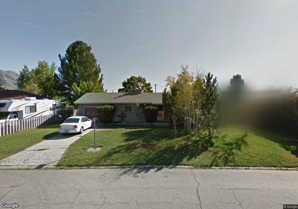
188 E 3060 N Provo, UT 84604
Rock Canyon NeighborhoodEstimated Value: $487,000 - $536,000
5
Beds
2
Baths
1,170
Sq Ft
$437/Sq Ft
Est. Value
About This Home
This home is located at 188 E 3060 N, Provo, UT 84604 and is currently estimated at $511,348, approximately $437 per square foot. 188 E 3060 N is a home located in Utah County with nearby schools including Edgemont School, Centennial Middle School, and Timpview High School.
Ownership History
Date
Name
Owned For
Owner Type
Purchase Details
Closed on
Dec 6, 2016
Sold by
Mears Linda W
Bought by
Atwood Micah E and Atwood Penny J
Current Estimated Value
Home Financials for this Owner
Home Financials are based on the most recent Mortgage that was taken out on this home.
Original Mortgage
$223,250
Outstanding Balance
$179,991
Interest Rate
3.47%
Mortgage Type
New Conventional
Estimated Equity
$331,357
Purchase Details
Closed on
Feb 12, 1999
Sold by
Drury Robin
Bought by
Mears Linda W
Create a Home Valuation Report for This Property
The Home Valuation Report is an in-depth analysis detailing your home's value as well as a comparison with similar homes in the area
Home Values in the Area
Average Home Value in this Area
Purchase History
| Date | Buyer | Sale Price | Title Company |
|---|---|---|---|
| Atwood Micah E | -- | Surey Title Agency | |
| Mears Linda W | -- | Provo Land Title Company |
Source: Public Records
Mortgage History
| Date | Status | Borrower | Loan Amount |
|---|---|---|---|
| Open | Atwood Micah E | $223,250 |
Source: Public Records
Tax History
| Year | Tax Paid | Tax Assessment Tax Assessment Total Assessment is a certain percentage of the fair market value that is determined by local assessors to be the total taxable value of land and additions on the property. | Land | Improvement |
|---|---|---|---|---|
| 2025 | $2,244 | $248,655 | -- | -- |
| 2024 | $2,244 | $220,935 | $0 | $0 |
| 2023 | $2,140 | $207,625 | $0 | $0 |
| 2022 | $2,195 | $214,775 | $0 | $0 |
| 2021 | $1,703 | $290,700 | $168,500 | $122,200 |
| 2020 | $1,626 | $260,200 | $140,400 | $119,800 |
| 2019 | $1,564 | $260,200 | $140,400 | $119,800 |
| 2018 | $1,387 | $234,000 | $129,800 | $104,200 |
| 2017 | $1,347 | $124,850 | $0 | $0 |
| 2016 | $0 | $114,125 | $0 | $0 |
| 2015 | -- | $114,125 | $0 | $0 |
| 2014 | -- | $108,625 | $0 | $0 |
Source: Public Records
Map
Nearby Homes
- 3025 N 250 E
- 3057 N 100 W
- 3013 N 100 W
- 3221 Shadowbrook Cir
- 3305 N Shadowbrook Cir
- 2999 N Marrcrest West Dr
- 111 Candlewood Place
- 2939 N Marrcrest Dr W
- 3240 Shadowbrook Dr
- 2774 N 370 E
- 2735 N Country Club Dr
- 5600 N Canyon Rd
- 158 Woodside Dr
- 758 E 3030 N
- 3043 Bannock Dr
- 3711 N Canyon Rd
- 788 E 2680 N
- 3129 Cherokee Ln
- 240 E 2230 N Unit 7
- 404 W 3700 N
Your Personal Tour Guide
Ask me questions while you tour the home.