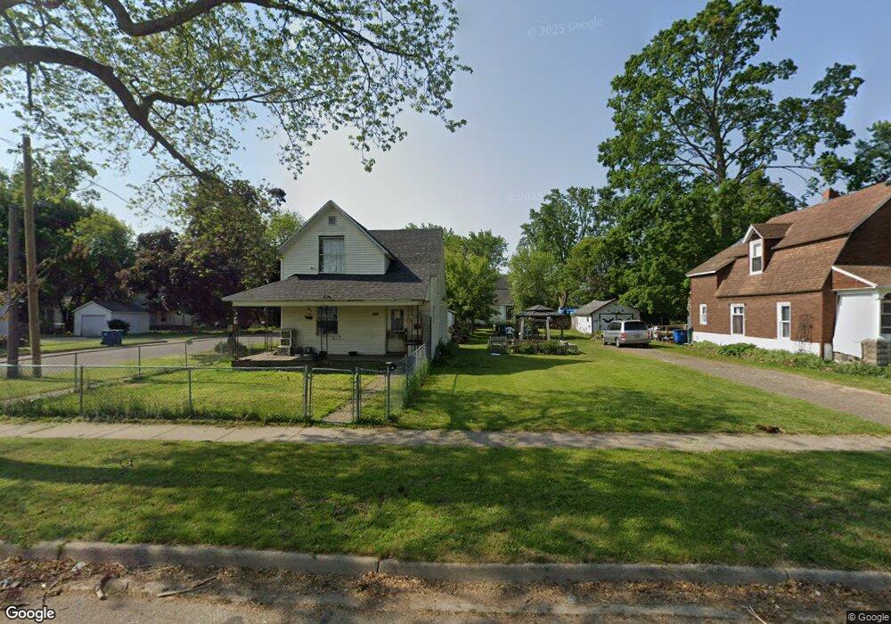
188 Lathrop Ave Battle Creek, MI 49014
Post Franklin NeighborhoodEstimated Value: $20,000 - $106,000
2
Beds
2
Baths
1,092
Sq Ft
$58/Sq Ft
Est. Value
About This Home
This home is located at 188 Lathrop Ave, Battle Creek, MI 49014 and is currently estimated at $63,000, approximately $57 per square foot. 188 Lathrop Ave is a home located in Calhoun County with nearby schools including Post-Franklin Elementary School, Springfield Middle School, and Battle Creek Central High School.
Ownership History
Date
Name
Owned For
Owner Type
Purchase Details
Closed on
Jan 31, 2020
Sold by
Nelson Shawn
Bought by
Odette Tonya L
Current Estimated Value
Purchase Details
Closed on
Aug 10, 2016
Sold by
Calhoun County Land Bank Authority
Bought by
Nelson Shawn
Purchase Details
Closed on
Dec 16, 2010
Sold by
Rosenbaum Ann
Bought by
The Calhoun County Land Bank Authority
Purchase Details
Closed on
Sep 15, 2006
Sold by
Tucker Marcus D and Shipp Tucker Cynthia N
Bought by
Household Finance Corp Iii
Purchase Details
Closed on
Aug 31, 1995
Bought by
Tucker
Create a Home Valuation Report for This Property
The Home Valuation Report is an in-depth analysis detailing your home's value as well as a comparison with similar homes in the area
Home Values in the Area
Average Home Value in this Area
Purchase History
| Date | Buyer | Sale Price | Title Company |
|---|---|---|---|
| Odette Tonya L | $10,000 | None Available | |
| Nelson Shawn | -- | None Available | |
| The Calhoun County Land Bank Authority | -- | None Available | |
| Household Finance Corp Iii | $56,810 | None Available | |
| Tucker | $37,000 | -- |
Source: Public Records
Tax History Compared to Growth
Tax History
| Year | Tax Paid | Tax Assessment Tax Assessment Total Assessment is a certain percentage of the fair market value that is determined by local assessors to be the total taxable value of land and additions on the property. | Land | Improvement |
|---|---|---|---|---|
| 2025 | -- | $1,800 | $0 | $0 |
| 2024 | $12 | $1,313 | $0 | $0 |
| 2023 | $14 | $875 | $0 | $0 |
| 2022 | $11 | $613 | $0 | $0 |
| 2021 | $13 | $525 | $0 | $0 |
| 2020 | $12 | $438 | $0 | $0 |
| 2019 | $12 | $350 | $0 | $0 |
| 2018 | $12 | $350 | $350 | $0 |
| 2017 | $0 | $263 | $0 | $0 |
| 2016 | $0 | $1,801 | $0 | $0 |
| 2015 | -- | $1,801 | $1,801 | $0 |
| 2014 | -- | $1,801 | $1,801 | $0 |
Source: Public Records
Map
Nearby Homes
- 190 Lathrop Ave
- 184 Lathrop Ave
- 178 Lathrop Ave
- 94 Nelson St
- 114 Nelson St
- 196 Lathrop Ave
- 116 Nelson St
- 88 Nelson St
- 119 Grenville St
- 170 Lathrop Ave
- 123 Grenville St
- 109 Nelson St
- 103 Grenville St
- 125 Grenville St
- 111 Nelson St
- 204 Lathrop Ave
- 101 Grenville St
- 87 Nelson St
- 206 Lathrop Ave
- 97 Grenville St