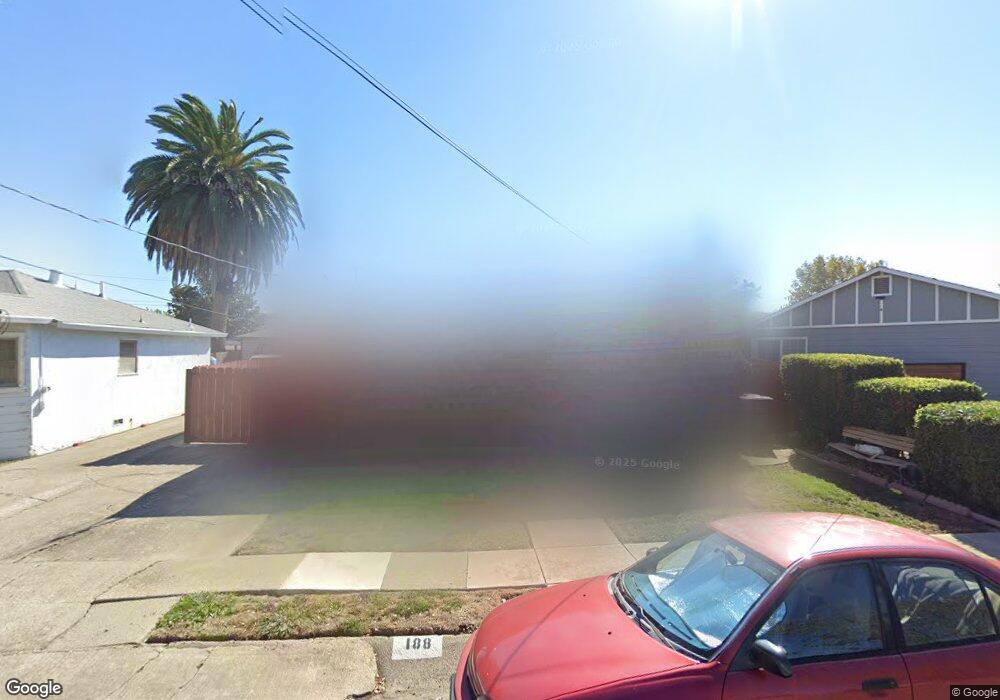
188 Manor Dr Bay Point, CA 94565
Bay Point West NeighborhoodEstimated Value: $424,000 - $571,000
3
Beds
1
Bath
1,205
Sq Ft
$396/Sq Ft
Est. Value
About This Home
This home is located at 188 Manor Dr, Bay Point, CA 94565 and is currently estimated at $476,920, approximately $395 per square foot. 188 Manor Dr is a home located in Contra Costa County with nearby schools including Bel Air Elementary School, Riverview Middle School, and Mt. Diablo High School.
Ownership History
Date
Name
Owned For
Owner Type
Purchase Details
Closed on
Dec 3, 2012
Sold by
Urrutia Margaret
Bought by
Urrutia Margaret
Current Estimated Value
Purchase Details
Closed on
Apr 25, 1999
Sold by
Culemann Kevin J and Culemann Marie Jean
Bought by
Urrutia Margaret
Home Financials for this Owner
Home Financials are based on the most recent Mortgage that was taken out on this home.
Original Mortgage
$100,710
Interest Rate
9.99%
Mortgage Type
Purchase Money Mortgage
Purchase Details
Closed on
Apr 14, 1999
Sold by
Becker Roy
Bought by
Urrutia Margaret M
Home Financials for this Owner
Home Financials are based on the most recent Mortgage that was taken out on this home.
Original Mortgage
$100,710
Interest Rate
9.99%
Mortgage Type
Purchase Money Mortgage
Purchase Details
Closed on
Mar 27, 1997
Sold by
Culeman Glenda Beth
Bought by
Culeman Kevin James and Culeman Jean Marie
Create a Home Valuation Report for This Property
The Home Valuation Report is an in-depth analysis detailing your home's value as well as a comparison with similar homes in the area
Home Values in the Area
Average Home Value in this Area
Purchase History
| Date | Buyer | Sale Price | Title Company |
|---|---|---|---|
| Urrutia Margaret | -- | First American Equity Loan S | |
| Urrutia Margaret | $112,000 | Commonwealth Land Title Co | |
| Urrutia Margaret M | -- | Commonwealth Land Title Co | |
| Culeman Kevin James | -- | -- |
Source: Public Records
Mortgage History
| Date | Status | Borrower | Loan Amount |
|---|---|---|---|
| Previous Owner | Urrutia Margaret | $100,710 |
Source: Public Records
Tax History
| Year | Tax Paid | Tax Assessment Tax Assessment Total Assessment is a certain percentage of the fair market value that is determined by local assessors to be the total taxable value of land and additions on the property. | Land | Improvement |
|---|---|---|---|---|
| 2025 | $2,788 | $178,877 | $70,537 | $108,340 |
| 2024 | $2,625 | $175,370 | $69,154 | $106,216 |
| 2023 | $2,625 | $171,933 | $67,799 | $104,134 |
| 2022 | $2,608 | $168,563 | $66,470 | $102,093 |
| 2021 | $2,542 | $165,259 | $65,167 | $100,092 |
| 2019 | $2,462 | $160,359 | $63,235 | $97,124 |
| 2018 | $2,381 | $157,216 | $61,996 | $95,220 |
| 2017 | $2,305 | $154,134 | $60,781 | $93,353 |
| 2016 | $2,229 | $151,113 | $59,590 | $91,523 |
| 2015 | $2,198 | $148,844 | $58,695 | $90,149 |
| 2014 | $1,963 | $129,000 | $50,870 | $78,130 |
Source: Public Records
Map
Nearby Homes
- 2867 Willow Pass Rd
- 66 Ambrose Ave
- 8 Lancaster Cir Unit 224
- 99 Enes Ave
- 7 Lancaster Cir Unit 137
- 3 Lancaster Cir Unit 211
- 641 Chadwick Ln
- 1998 Calaveras Dr
- 1988 Calaveras Dr
- 5 Brookdale Ct
- 30 Cypress Ct
- 205 Solano Ave
- 3432 Danielle Place
- 64 S Bella Monte Ave
- 28 Springbrook Ln
- 9 Cedar Ct
- 1412 Sanctuary St
- 64 N Bella Monte Ave
- 22 Sharon Dr
- 79 Bella Vista Ave
Your Personal Tour Guide
Ask me questions while you tour the home.