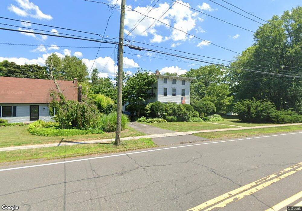
188 Maple St Wethersfield, CT 06109
Estimated Value: $530,000 - $582,000
4
Beds
3
Baths
3,525
Sq Ft
$159/Sq Ft
Est. Value
About This Home
This home is located at 188 Maple St, Wethersfield, CT 06109 and is currently estimated at $559,708, approximately $158 per square foot. 188 Maple St is a home located in Hartford County with nearby schools including Alfred W. Hanmer School, Silas Deane Middle School, and Wethersfield High School.
Ownership History
Date
Name
Owned For
Owner Type
Purchase Details
Closed on
Mar 26, 2018
Sold by
Serven Jeffrey T
Bought by
Serven Lauren K
Current Estimated Value
Purchase Details
Closed on
Apr 30, 1997
Sold by
Maynard Alphonse and Maynard Pamela
Bought by
Serven Jeffrey T and Serven Lauren K
Home Financials for this Owner
Home Financials are based on the most recent Mortgage that was taken out on this home.
Original Mortgage
$148,800
Interest Rate
7.85%
Mortgage Type
Unknown
Create a Home Valuation Report for This Property
The Home Valuation Report is an in-depth analysis detailing your home's value as well as a comparison with similar homes in the area
Home Values in the Area
Average Home Value in this Area
Purchase History
| Date | Buyer | Sale Price | Title Company |
|---|---|---|---|
| Serven Lauren K | -- | -- | |
| Serven Jeffrey T | $186,000 | -- |
Source: Public Records
Mortgage History
| Date | Status | Borrower | Loan Amount |
|---|---|---|---|
| Previous Owner | Serven Jeffrey T | $170,000 | |
| Previous Owner | Serven Jeffrey T | $148,800 |
Source: Public Records
Tax History
| Year | Tax Paid | Tax Assessment Tax Assessment Total Assessment is a certain percentage of the fair market value that is determined by local assessors to be the total taxable value of land and additions on the property. | Land | Improvement |
|---|---|---|---|---|
| 2025 | $13,311 | $322,920 | $87,980 | $234,940 |
| 2024 | $9,011 | $208,500 | $65,750 | $142,750 |
| 2023 | $8,705 | $208,360 | $65,750 | $142,610 |
| 2022 | $8,559 | $208,360 | $65,750 | $142,610 |
| 2021 | $8,474 | $208,360 | $65,750 | $142,610 |
| 2020 | $8,478 | $208,360 | $65,750 | $142,610 |
| 2019 | $8,489 | $208,360 | $65,750 | $142,610 |
| 2018 | $8,739 | $214,300 | $63,700 | $150,600 |
| 2017 | $8,523 | $214,300 | $63,700 | $150,600 |
| 2016 | $8,105 | $210,300 | $63,700 | $146,600 |
| 2015 | $8,031 | $210,300 | $63,700 | $146,600 |
| 2014 | $7,726 | $210,300 | $63,700 | $146,600 |
Source: Public Records
Map
Nearby Homes
- 31 Ox Yoke Dr
- 99 Maple St
- 131 Coleman Rd
- 147 Spring St
- 11 Charter Rd
- 750 Wolcott Hill Rd
- 108 Chamberlain Rd
- 38 Wheeler Rd
- 35 Stillwold Dr
- 250 Edward St
- 70 Mountain Laurel Dr Unit 70
- 89 Merriman Rd
- 146 Dudley Rd
- 158 Dix Rd
- 519 Prospect St
- 42 Dunham St
- 764 Ridge Rd
- 1 Fernwood St
- 23 Hillcrest Ave
- 18 Mcintosh Cir Unit 18
Your Personal Tour Guide
Ask me questions while you tour the home.