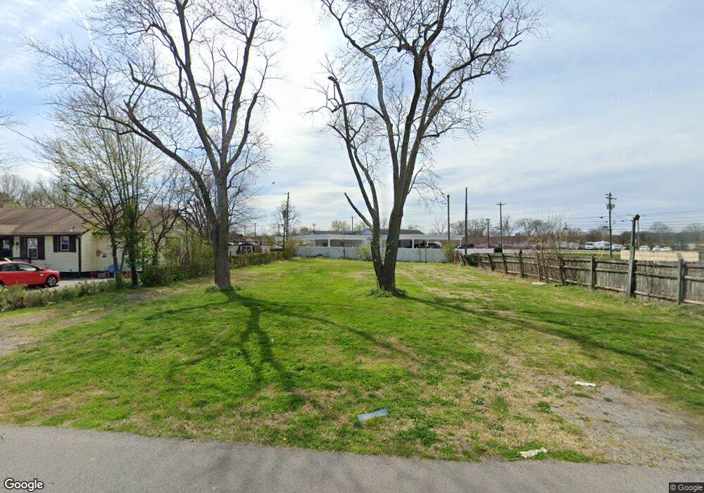
188 Moore Ave Smyrna, TN 37167
Estimated Value: $72,619
About This Home
This home is located at 188 Moore Ave, Smyrna, TN 37167 and is currently estimated at $72,619. 188 Moore Ave is a home located in Rutherford County with nearby schools including Smyrna Elementary School, Smyrna Middle School, and Smyrna High School.
Ownership History
We collect this data history from publicly available records. To have your information removed, we recommend requesting removal directly through your county’s website.
Purchase Details
Home Financials for this Owner
Home Financials are based on the most recent Mortgage that was taken out on this home.Purchase Details
Purchase Details
Home Values in the Area
Average Home Value in this Area
Purchase History
We collect this data history from publicly available records. To have your information removed, we recommend requesting removal directly through your county’s website.
| Date | Buyer | Sale Price | Title Company |
|---|---|---|---|
| $60,000 | Lawyers Land & Ttl Svcs Llc | ||
| -- | -- | ||
| -- | -- | ||
| -- | -- |
Mortgage History
We collect this data history from publicly available records. To have your information removed, we recommend requesting removal directly through your county’s website.
| Date | Status | Borrower | Loan Amount |
|---|---|---|---|
| Previous Owner | $48,000 |
Tax History
We collect this data history from publicly available records. To have your information removed, we recommend requesting removal directly through your county’s website.
| Year | Tax Paid | Tax Assessment Tax Assessment Total Assessment is a certain percentage of the fair market value that is determined by local assessors to be the total taxable value of land and additions on the property. | Land | Improvement |
|---|---|---|---|---|
| 2025 | $807 | $33,600 | $33,600 | $0 |
| 2024 | $807 | $33,600 | $33,600 | $0 |
| 2023 | $807 | $33,600 | $33,600 | $0 |
| 2022 | $720 | $33,600 | $33,600 | $0 |
| 2021 | $745 | $25,480 | $25,480 | $0 |
| 2020 | $745 | $25,480 | $25,480 | $0 |
| 2019 | $745 | $25,480 | $25,480 | $0 |
| 2018 | $714 | $25,480 | $0 | $0 |
| 2017 | $795 | $22,320 | $0 | $0 |
| 2016 | $795 | $22,320 | $0 | $0 |
| 2015 | $795 | $22,320 | $0 | $0 |
| 2014 | $555 | $22,320 | $0 | $0 |
| 2013 | -- | $22,360 | $0 | $0 |
Map
- 403 Fairview Ave
- 205 Martha St
- 400 Martha St
- 3009 Stratton Valley
- 4021 Gaskill Dr
- 3009 Stratton Valley Unit 100 C
- 4017 Gaskill Dr
- 4039 Gaskill Dr
- 4025 Gaskill Dr
- 4043 Gaskill Dr
- 4078 Gaskill Dr
- 4013 Gaskill Dr
- 4029 Gaskill Dr
- 380 Sam Davis Rd
- 608 Rock Springs Rd
- 0 Enon Springs Rd W
- 508 Enon Springs Rd W
- 902 Regalwood Ct
- 303 Ridley St
- 702 Enon Springs Rd W Unit 704
- 190 Moore Ave
- 192 Moore Ave
- 107 Moore Ave
- 105 Moore Ave
- 203 N Lowry St
- 109 Moore Ave
- 194 Moore Ave
- 103 Moore Ave
- 111 Moore Ave
- 113 Moore Ave
- 196 Moore Ave
- 106 Kings Rd Unit 106
- 115 Moore Ave
- 104 Kings Rd
- 198 Moore Ave
- 110 Kings Rd
- 201 Crescent Ave
- 102 Kings Rd
- 167 Morgan Lane #167
- 165 Morgan Ln Unit 165
Ask me questions while you tour the home.