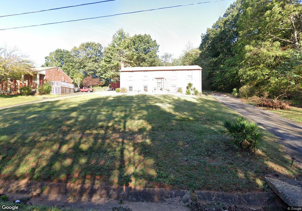
188 Pearson Dr Rustburg, VA 24588
Estimated Value: $292,000 - $412,000
3
Beds
2
Baths
2,700
Sq Ft
$129/Sq Ft
Est. Value
About This Home
This home is located at 188 Pearson Dr, Rustburg, VA 24588 and is currently estimated at $348,667, approximately $129 per square foot. 188 Pearson Dr is a home located in Campbell County with nearby schools including Yellow Branch Elementary School, Rustburg Middle School, and Rustburg High School.
Ownership History
Date
Name
Owned For
Owner Type
Purchase Details
Closed on
May 13, 2025
Sold by
Davis Maxine L and Davis Maxine A
Bought by
Davis Maxine A and Davis Roy L
Current Estimated Value
Home Financials for this Owner
Home Financials are based on the most recent Mortgage that was taken out on this home.
Original Mortgage
$495,000
Outstanding Balance
$478,124
Interest Rate
6.76%
Estimated Equity
-$129,457
Create a Home Valuation Report for This Property
The Home Valuation Report is an in-depth analysis detailing your home's value as well as a comparison with similar homes in the area
Purchase History
| Date | Buyer | Sale Price | Title Company |
|---|---|---|---|
| Davis Maxine A | -- | None Listed On Document |
Source: Public Records
Mortgage History
| Date | Status | Borrower | Loan Amount |
|---|---|---|---|
| Open | Davis Maxine A | $495,000 | |
| Closed | Davis Maxine A | $495,000 |
Source: Public Records
Tax History
| Year | Tax Paid | Tax Assessment Tax Assessment Total Assessment is a certain percentage of the fair market value that is determined by local assessors to be the total taxable value of land and additions on the property. | Land | Improvement |
|---|---|---|---|---|
| 2025 | $977 | $217,000 | $32,000 | $185,000 |
| 2024 | $977 | $217,000 | $32,000 | $185,000 |
| 2023 | $5 | $217,000 | $32,000 | $185,000 |
| 2022 | $391 | $150,200 | $28,000 | $122,200 |
| 2021 | $781 | $150,200 | $28,000 | $122,200 |
| 2020 | $781 | $150,200 | $28,000 | $122,200 |
| 2019 | $281 | $150,200 | $28,000 | $122,200 |
| 2018 | $796 | $153,100 | $28,000 | $125,100 |
| 2017 | $796 | $153,100 | $28,000 | $125,100 |
| 2016 | $796 | $153,100 | $28,000 | $125,100 |
| 2015 | -- | $153,100 | $28,000 | $125,100 |
| 2014 | -- | $152,100 | $28,000 | $124,100 |
Source: Public Records
Map
Nearby Homes
- 1311 English Tavern Rd
- 151 Wilderness Rd
- 22 Mantle Dr
- 521 Mantle Dr
- 93 English Commons Dr
- 18 Cuddington Ln
- 70 Shotman Rd
- 41 Shallen Rd
- 40 Allure Dr
- 88 Allure Dr
- 211 Dove Dr
- 492 Greendale Dr
- 12 Shore Line Dr
- 19-LOT Crest Ridge Ct
- 129 Greendale Dr
- 379 Crestview Dr
- 11420 Wards Rd
- 415 Kershaw Dr
- 1 English Tavern Rd
- 20 Semmes Ct
- 170 Pearson Dr
- 224 Pearson Dr
- 152 Pearson Dr
- 337 Sunnymeade Rd
- 301 Sunnymeade Rd
- 291 Sunnymeade Rd
- 169 Pearson Dr
- 347 Sunnymeade Rd
- 118 Pearson Dr
- 225 Pearson Dr
- 273 Sunnymeade Rd
- 122 Pearson Dr
- 377 Sunnymeade Rd
- 129 Pearson Dr
- 251 Pearson Dr
- 266 Pearson Dr
- 253 Sunnymeade Rd
- 84 Pearson Dr
- 298 Sunnymeade Rd
- 385 Sunnymeade Rd
Your Personal Tour Guide
Ask me questions while you tour the home.