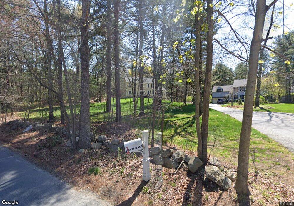
188 Powers Rd Sudbury, MA 01776
Estimated Value: $1,227,000 - $1,533,000
4
Beds
3
Baths
3,028
Sq Ft
$443/Sq Ft
Est. Value
About This Home
This home is located at 188 Powers Rd, Sudbury, MA 01776 and is currently estimated at $1,341,229, approximately $442 per square foot. 188 Powers Rd is a home located in Middlesex County with nearby schools including Josiah Haynes Elementary School, Ephraim Curtis Middle School, and Lincoln-Sudbury Regional High School.
Ownership History
Date
Name
Owned For
Owner Type
Purchase Details
Closed on
Mar 29, 1996
Sold by
Alyssa Rt and Kane Roger K
Bought by
Santangelo Joseph and Santangelo Caroline C
Current Estimated Value
Home Financials for this Owner
Home Financials are based on the most recent Mortgage that was taken out on this home.
Original Mortgage
$200,000
Outstanding Balance
$9,012
Interest Rate
6.9%
Mortgage Type
Purchase Money Mortgage
Estimated Equity
$1,332,217
Create a Home Valuation Report for This Property
The Home Valuation Report is an in-depth analysis detailing your home's value as well as a comparison with similar homes in the area
Home Values in the Area
Average Home Value in this Area
Purchase History
| Date | Buyer | Sale Price | Title Company |
|---|---|---|---|
| Santangelo Joseph | $447,500 | -- | |
| Santangelo Joseph | $447,500 | -- |
Source: Public Records
Mortgage History
| Date | Status | Borrower | Loan Amount |
|---|---|---|---|
| Open | Santangelo Joseph | $100,000 | |
| Open | Santangelo Joseph | $200,000 | |
| Closed | Santangelo Joseph | $200,000 |
Source: Public Records
Tax History Compared to Growth
Tax History
| Year | Tax Paid | Tax Assessment Tax Assessment Total Assessment is a certain percentage of the fair market value that is determined by local assessors to be the total taxable value of land and additions on the property. | Land | Improvement |
|---|---|---|---|---|
| 2025 | $17,501 | $1,195,400 | $440,400 | $755,000 |
| 2024 | $16,864 | $1,154,300 | $427,600 | $726,700 |
| 2023 | $15,825 | $1,003,500 | $396,000 | $607,500 |
| 2022 | $15,328 | $849,200 | $363,600 | $485,600 |
| 2021 | $14,477 | $768,800 | $363,600 | $405,200 |
| 2020 | $14,184 | $768,800 | $363,600 | $405,200 |
| 2019 | $13,753 | $767,900 | $363,600 | $404,300 |
| 2018 | $13,543 | $755,300 | $387,600 | $367,700 |
| 2017 | $13,002 | $732,900 | $368,800 | $364,100 |
| 2016 | $12,601 | $707,900 | $354,800 | $353,100 |
| 2015 | $12,091 | $687,000 | $341,200 | $345,800 |
| 2014 | $12,075 | $669,700 | $331,200 | $338,500 |
Source: Public Records
Map
Nearby Homes
- 16 Blacksmith Dr
- 42 Dakin Rd
- 369 Border Rd
- 67 Powder Mill Rd
- 29 Black Birch Ln Unit 29
- 9 Black Birch Ln Unit 9
- 57 Longfellow Rd
- 96 Forest Ridge Rd Unit 96
- 40 Rookery Ln Unit 5
- 72 Rookery Ln Unit 3
- 121 White Pond Way Unit 121
- 589 North Rd
- 401 Emery Ln Unit 104
- 24 Rookery Ln Unit 6
- 56 Rookery Ln Unit 4
- 80 N Branch Rd
- 5 Oak Ridge Dr Unit 7
- 1844 Main St Unit 1844
- 10 Oak Ridge Dr Unit 5
- 394 Plainfield Rd Unit 394
- 182 Powers Rd
- 2759 Old Marlboro Rd
- 1445 Old Marlboro Rd
- 24 Barnet Rd
- 30 Barnet Rd
- 1421 Old Marlboro Rd
- 59 Hunters Ridge Rd
- Lot 2 & 3 Nolan Cir
- 10 Barnet Rd
- 11 Barnet Rd
- 19 Barnet Rd
- 175 Powers Rd
- 45 Hunters Ridge Rd
- 29 Barnet Rd
- 1401 Old Marlboro Rd
- 23 Hunters Ridge Rd
- 69 Hunters Ridge Rd
- 310 Old Pickard Rd
- 151 Dakin Rd
- 126 Willard Grant Rd