188 Roosevelt Blvd Thorofare, NJ 08086
West Deptford Township NeighborhoodEstimated Value: $359,000 - $431,000
--
Bed
--
Bath
1,920
Sq Ft
$208/Sq Ft
Est. Value
About This Home
This home is located at 188 Roosevelt Blvd, Thorofare, NJ 08086 and is currently estimated at $399,184, approximately $207 per square foot. 188 Roosevelt Blvd is a home located in Gloucester County with nearby schools including Red Bank Elementary School, Oakview Elementary School, and Green-Fields Elementary School.
Ownership History
Date
Name
Owned For
Owner Type
Purchase Details
Closed on
Sep 30, 2005
Sold by
Schneider John N and Schneider Ellen M
Bought by
Smith Sean and Smith Linda S
Current Estimated Value
Home Financials for this Owner
Home Financials are based on the most recent Mortgage that was taken out on this home.
Original Mortgage
$207,200
Outstanding Balance
$111,043
Interest Rate
5.78%
Mortgage Type
Fannie Mae Freddie Mac
Estimated Equity
$288,141
Create a Home Valuation Report for This Property
The Home Valuation Report is an in-depth analysis detailing your home's value as well as a comparison with similar homes in the area
Home Values in the Area
Average Home Value in this Area
Purchase History
| Date | Buyer | Sale Price | Title Company |
|---|---|---|---|
| Smith Sean | $259,000 | -- |
Source: Public Records
Mortgage History
| Date | Status | Borrower | Loan Amount |
|---|---|---|---|
| Open | Smith Sean | $207,200 |
Source: Public Records
Tax History Compared to Growth
Tax History
| Year | Tax Paid | Tax Assessment Tax Assessment Total Assessment is a certain percentage of the fair market value that is determined by local assessors to be the total taxable value of land and additions on the property. | Land | Improvement |
|---|---|---|---|---|
| 2025 | $7,242 | $207,400 | $62,200 | $145,200 |
| 2024 | $7,149 | $207,400 | $62,200 | $145,200 |
| 2023 | $7,149 | $207,400 | $62,200 | $145,200 |
| 2022 | $7,116 | $207,400 | $62,200 | $145,200 |
| 2021 | $7,091 | $207,400 | $62,200 | $145,200 |
| 2020 | $7,074 | $207,400 | $62,200 | $145,200 |
| 2019 | $6,877 | $207,400 | $62,200 | $145,200 |
| 2018 | $6,691 | $207,400 | $62,200 | $145,200 |
| 2017 | $6,535 | $207,400 | $62,200 | $145,200 |
| 2016 | $6,353 | $207,400 | $62,200 | $145,200 |
| 2015 | $6,052 | $207,400 | $62,200 | $145,200 |
| 2014 | $5,751 | $207,400 | $62,200 | $145,200 |
Source: Public Records
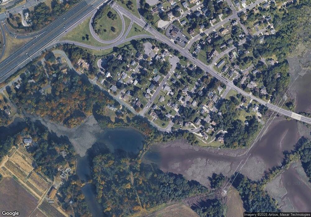
Map
Nearby Homes
- 266 Passaic Ave
- 121 Cape May Ave
- 107 Audubon Ave
- 64 Tilden Rd
- 10 Kennedy Ct
- 439 Crown Point Rd
- 433 Crown Point Rd
- 400 Audubon Ave
- 124 Brent Ct
- 1810 Fernwood Dr
- 67 Pelican Place
- 47 Pelican Place Unit 47
- 1311 Barnesdale Rd
- 112 N Drexel St
- 4 Saint Emilion Ct
- 558 Prince St
- 97 Church St
- 740 Carter Hill Dr
- 344 S Girard St
- 21 S Columbia St
- 190 Roosevelt Blvd
- 177 Passaic Ave
- 189 Passaic Ave
- 191 Passaic Ave
- 187 Roosevelt Blvd
- 165 Passaic Ave
- 189 Roosevelt Blvd
- 192 Roosevelt Blvd
- 191 Roosevelt Blvd
- 193 Passaic Ave
- 187 Bergen Ave
- 192 Passaic Ave
- 190 Middlesex Ave
- 188 Middlesex Ave
- 194 Roosevelt Blvd
- 194 N Roosevelt Blvd
- 193 Roosevelt Blvd
- 186 Middlesex Ave
- 186 Middlesex Ct
- 195 Passaic Ave