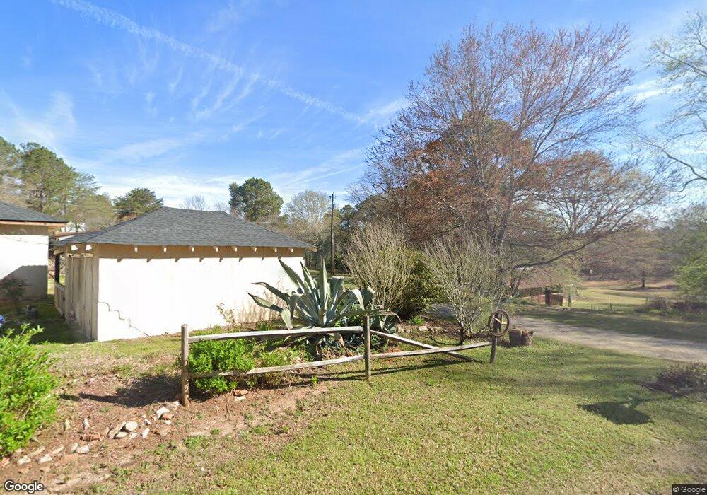
188 Shirey Rd Lagrange, GA 30240
Estimated Value: $160,000 - $252,000
2
Beds
1
Bath
1,082
Sq Ft
$185/Sq Ft
Est. Value
About This Home
This home is located at 188 Shirey Rd, Lagrange, GA 30240 and is currently estimated at $200,008, approximately $184 per square foot. 188 Shirey Rd is a home located in Troup County with nearby schools including Ethel W. Kight Elementary School, Hollis Hand Elementary School, and Franklin Forest Elementary School.
Ownership History
Date
Name
Owned For
Owner Type
Purchase Details
Closed on
Dec 7, 1998
Sold by
Agnes Robinson
Bought by
Harper Angela Etal
Current Estimated Value
Purchase Details
Closed on
Aug 9, 1995
Sold by
Danny Raymond Lynch
Bought by
Agnes Robinson
Purchase Details
Closed on
May 3, 1988
Sold by
Lynch Anita Ruth
Bought by
Danny Raymond Lynch
Purchase Details
Closed on
May 25, 1984
Sold by
Keel H P
Bought by
Lynch Anita Ruth
Create a Home Valuation Report for This Property
The Home Valuation Report is an in-depth analysis detailing your home's value as well as a comparison with similar homes in the area
Home Values in the Area
Average Home Value in this Area
Purchase History
| Date | Buyer | Sale Price | Title Company |
|---|---|---|---|
| Harper Angela Etal | $21,300 | -- | |
| Agnes Robinson | $45,000 | -- | |
| Danny Raymond Lynch | -- | -- | |
| Lynch Anita Ruth | $27,600 | -- |
Source: Public Records
Tax History Compared to Growth
Tax History
| Year | Tax Paid | Tax Assessment Tax Assessment Total Assessment is a certain percentage of the fair market value that is determined by local assessors to be the total taxable value of land and additions on the property. | Land | Improvement |
|---|---|---|---|---|
| 2024 | $1,188 | $45,560 | $20,800 | $24,760 |
| 2023 | $1,163 | $44,640 | $20,800 | $23,840 |
| 2022 | $1,152 | $43,280 | $20,800 | $22,480 |
| 2021 | $1,204 | $41,920 | $21,720 | $20,200 |
| 2020 | $1,157 | $40,360 | $21,720 | $18,640 |
| 2019 | $1,156 | $40,320 | $21,720 | $18,600 |
| 2018 | $1,105 | $38,640 | $21,720 | $16,920 |
| 2017 | $1,105 | $38,640 | $21,720 | $16,920 |
| 2016 | $1,057 | $37,015 | $21,746 | $15,268 |
| 2015 | $1,059 | $37,015 | $21,746 | $15,268 |
| 2014 | $1,036 | $36,211 | $21,746 | $14,465 |
| 2013 | -- | $37,100 | $21,746 | $15,354 |
Source: Public Records
Map
Nearby Homes
- E Angela Dr
- LOT 4 Angela Dr
- 150 N Lake Dr
- 3010 White Oak Ct
- 200 Cheyenne Dr
- 4004 White Oak Ln
- 208 Highland Trail
- 709 Vernon Ferry Rd
- 0 Deming St Unit 10550189
- 103 Dogwood Ct
- 104 Spring Valley Dr
- 207 Lakeshore Way
- 104 Dogwood Point
- 117 Brookwood Dr
- 146 Whitaker Rd
- 205 Linda Ln
- 226 Linda Ln
- 223 Pinehaven Dr
- 135 Planters Ridge Dr
- 0 Cameron Mill Rd Unit 10640133
- 406 Old Roanoke Rd
- 119 Shirey Rd
- 381 Old Roanoke Rd
- 381 Old Roanoke Rd
- 381 Old Roanoke Rd
- 393 Old Roanoke Rd
- 167 Shirey Rd
- 411 Old Roanoke Rd
- 416 Old Roanoke Rd
- 353 Old Roanoke Rd
- 423 Old Roanoke Rd
- 152 Shirey Rd
- 440 Old Roanoke Rd
- 138 Shirey Rd
- 431 Old Roanoke Rd
- 431 Old Roanoke Rd Unit 3AC
- 144 Shirey Rd
- 7 AC Keel Cove Rd
- TRACT 1 Keel Cove Rd
- 72 Shirey Rd