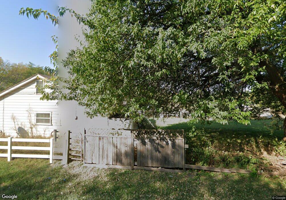
18802 State Route J Raymore, MO 64083
Estimated Value: $492,000 - $573,000
4
Beds
2
Baths
2,854
Sq Ft
$190/Sq Ft
Est. Value
About This Home
This home is located at 18802 State Route J, Raymore, MO 64083 and is currently estimated at $541,889, approximately $189 per square foot. 18802 State Route J is a home located in Cass County with nearby schools including Bridle Ridge Intermediate School, Raymore-Peculiar South Middle School, and Raymore-Peculiar Senior High School.
Ownership History
Date
Name
Owned For
Owner Type
Purchase Details
Closed on
Jun 13, 2006
Sold by
Renzelman Tabb and Renzelman Joyce
Bought by
Collins Eric W and Collins Angela C
Current Estimated Value
Home Financials for this Owner
Home Financials are based on the most recent Mortgage that was taken out on this home.
Original Mortgage
$220,000
Outstanding Balance
$128,026
Interest Rate
6.58%
Mortgage Type
New Conventional
Estimated Equity
$413,863
Create a Home Valuation Report for This Property
The Home Valuation Report is an in-depth analysis detailing your home's value as well as a comparison with similar homes in the area
Home Values in the Area
Average Home Value in this Area
Purchase History
| Date | Buyer | Sale Price | Title Company |
|---|---|---|---|
| Collins Eric W | -- | -- |
Source: Public Records
Mortgage History
| Date | Status | Borrower | Loan Amount |
|---|---|---|---|
| Open | Collins Eric W | $220,000 |
Source: Public Records
Tax History
| Year | Tax Paid | Tax Assessment Tax Assessment Total Assessment is a certain percentage of the fair market value that is determined by local assessors to be the total taxable value of land and additions on the property. | Land | Improvement |
|---|---|---|---|---|
| 2025 | $3,892 | $63,170 | $7,140 | $56,030 |
| 2024 | $3,892 | $56,250 | $6,490 | $49,760 |
| 2023 | $3,886 | $56,250 | $6,490 | $49,760 |
| 2022 | $3,418 | $49,280 | $6,490 | $42,790 |
| 2021 | $3,419 | $49,280 | $6,490 | $42,790 |
| 2020 | $3,368 | $47,600 | $6,490 | $41,110 |
| 2019 | $3,233 | $47,600 | $6,490 | $41,110 |
| 2018 | $3,035 | $43,100 | $5,190 | $37,910 |
| 2017 | $2,714 | $43,100 | $5,190 | $37,910 |
| 2016 | $2,714 | $40,400 | $5,190 | $35,210 |
| 2015 | $2,716 | $40,400 | $5,190 | $35,210 |
| 2014 | $2,717 | $40,400 | $5,190 | $35,210 |
| 2013 | -- | $40,400 | $5,190 | $35,210 |
Source: Public Records
Map
Nearby Homes
- 0 E Hubach Hill Rd Unit HMS2607231
- 19615 S State Route J
- 720 Sandpiper St
- 1024 S Madison St
- 105 Toucan St
- 13512 E 198th St
- 804 S Washington St
- 702 Twilight Ct
- 522 Neptune Dr
- Lot 12 Municipal Cir
- Lot 6 Municipal Cir
- Lot 13 Municipal Cir
- 405 Sunny Ln
- 528 S Saturn Dr
- 0 S School Rd Unit HMS2591054
- 605 S Franklin St
- 709 Derby St
- 515 S Saturn Dr
- 405 S Monroe St
- 1117 Sendera Trail
- 18800 State Route J
- 18800 State Route J
- 18804 State Route J
- 18708 State Route J
- 18808 State Route J
- 703 E Hubach Hill Rd
- 18812 State Route J
- 611 E Hubach Hill Rd
- 1201 Southwind Dr
- 1301 Southwind Dr
- 609 E Hubach Hill Rd
- 19020 State Route J
- 603 E Hubach Hill Rd
- 900 E Hubach Hill Rd
- 1203 Southwind Dr
- 1303 Southwind Dr
- 19110 State Route J
- 1000 E Hubach Hill Rd
- 601 E Hubach Hill Rd
- 1004 S Lincoln Ave
Your Personal Tour Guide
Ask me questions while you tour the home.