Estimated Value: $194,000 - $298,001
2
Beds
1
Bath
588
Sq Ft
$435/Sq Ft
Est. Value
About This Home
This home is located at 1881 Bobence Rd, Ely, MN 55731 and is currently estimated at $255,500, approximately $434 per square foot. 1881 Bobence Rd is a home located in St. Louis County with nearby schools including Tower-Soudan Elementary School.
Ownership History
Date
Name
Owned For
Owner Type
Purchase Details
Closed on
Nov 1, 2010
Sold by
Goodlund Beulah
Bought by
Ostlund Michael J and Ostlund Susan G
Current Estimated Value
Purchase Details
Closed on
Jan 20, 2003
Sold by
Goodlund Dale M and Goodlund Beulah
Bought by
Ostlund Michael J and Ostlund Susan G
Home Financials for this Owner
Home Financials are based on the most recent Mortgage that was taken out on this home.
Original Mortgage
$155,000
Interest Rate
6%
Mortgage Type
Seller Take Back
Create a Home Valuation Report for This Property
The Home Valuation Report is an in-depth analysis detailing your home's value as well as a comparison with similar homes in the area
Purchase History
| Date | Buyer | Sale Price | Title Company |
|---|---|---|---|
| Ostlund Michael J | $101,000 | None Available | |
| Ostlund Michael J | $225,000 | -- |
Source: Public Records
Mortgage History
| Date | Status | Borrower | Loan Amount |
|---|---|---|---|
| Previous Owner | Ostlund Michael J | $155,000 |
Source: Public Records
Tax History
| Year | Tax Paid | Tax Assessment Tax Assessment Total Assessment is a certain percentage of the fair market value that is determined by local assessors to be the total taxable value of land and additions on the property. | Land | Improvement |
|---|---|---|---|---|
| 2024 | $2,176 | $230,000 | $170,900 | $59,100 |
| 2023 | $2,176 | $230,000 | $170,900 | $59,100 |
| 2022 | $2,288 | $227,300 | $170,900 | $56,400 |
| 2021 | $2,230 | $186,400 | $140,500 | $45,900 |
| 2020 | $2,046 | $186,400 | $140,500 | $45,900 |
| 2019 | $1,844 | $168,700 | $115,800 | $52,900 |
| 2018 | $1,900 | $153,900 | $105,800 | $48,100 |
| 2017 | $1,870 | $153,900 | $105,800 | $48,100 |
| 2016 | $2,130 | $153,900 | $105,800 | $48,100 |
| 2015 | $2,076 | $168,100 | $109,900 | $58,200 |
| 2014 | $2,050 | $168,100 | $109,900 | $58,200 |
Source: Public Records
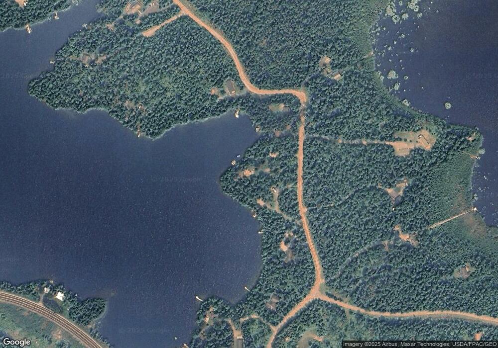
Map
Nearby Homes
- 1859 Bobence Rd
- TBD Moose Creek Trail
- 3810 Mud Creek Rd
- 1346 Bear Head State Park Rd
- 2375 Viste Point Rd
- 3055 van Vac Rd
- 3297 NW Burntside Lake
- 2928 Rd
- TBD Waters Island
- X Waters Island
- 2928 Waters Island
- 2928 Waters Island Unit Waters Island and Do
- XXXX Murray Forest Rd
- 2734 Bear Island River Rd
- 2854 Blueberry Island
- 23XX Low Creek Rd
- 2713 Burntside Lake Rd
- 5248 Ely Island S
- 8352 Highway 21 N
- 5262 Ely Island S
- 1887 Bobence Rd
- 1880 Bobence Rd
- 3610 Moose Creek Trail
- 1859 Bobence Rd
- 3605 Moose Creek Trail
- 1855 Bobence Rd
- 1910 Grouse Ridge Rd
- 1873 Bobence Rd
- 1886 Bobence Rd
- 1858 Bobence Rd
- 1857 Bobence Rd
- 3636 Moose Creek Trail
- 1911 Grouse Ridge Rd
- 3615 Highway 169
- 3583 Victoria Rd
- 3639 Moose Creek Trail
- 3643 Highway 169
- 3643 Highway 169 Unit Clear Lake
- 3587 Highway 169
- 3650 Moose Creek Trail
Your Personal Tour Guide
Ask me questions while you tour the home.