1881 Rocrest Rd Alpine, CA 91901
Estimated Value: $1,180,018 - $1,289,000
4
Beds
2
Baths
2,636
Sq Ft
$463/Sq Ft
Est. Value
About This Home
This home is located at 1881 Rocrest Rd, Alpine, CA 91901 and is currently estimated at $1,219,505, approximately $462 per square foot. 1881 Rocrest Rd is a home located in San Diego County with nearby schools including Granite Hills High School, The Heights Charter, and Liberty Charter High School.
Ownership History
Date
Name
Owned For
Owner Type
Purchase Details
Closed on
Feb 25, 2010
Sold by
Pressnall Steven E and Leeann Pressnall P
Bought by
Pressnall Steven E and Leeann Pressnall P
Current Estimated Value
Home Financials for this Owner
Home Financials are based on the most recent Mortgage that was taken out on this home.
Original Mortgage
$133,115
Interest Rate
4.97%
Mortgage Type
New Conventional
Purchase Details
Closed on
Nov 13, 2000
Sold by
Leeann Pressnall and Leeann P
Bought by
Pressnall Steven E and Leeann Pressnall P
Purchase Details
Closed on
Dec 11, 1992
Create a Home Valuation Report for This Property
The Home Valuation Report is an in-depth analysis detailing your home's value as well as a comparison with similar homes in the area
Home Values in the Area
Average Home Value in this Area
Purchase History
| Date | Buyer | Sale Price | Title Company |
|---|---|---|---|
| Pressnall Steven E | -- | North American Title Company | |
| Pressnall Steven E | -- | -- | |
| -- | $120,000 | -- |
Source: Public Records
Mortgage History
| Date | Status | Borrower | Loan Amount |
|---|---|---|---|
| Closed | Pressnall Steven E | $133,115 |
Source: Public Records
Tax History
| Year | Tax Paid | Tax Assessment Tax Assessment Total Assessment is a certain percentage of the fair market value that is determined by local assessors to be the total taxable value of land and additions on the property. | Land | Improvement |
|---|---|---|---|---|
| 2025 | $6,294 | $559,801 | $208,023 | $351,778 |
| 2024 | $6,294 | $548,826 | $203,945 | $344,881 |
| 2023 | $6,400 | $538,066 | $199,947 | $338,119 |
| 2022 | $6,352 | $527,517 | $196,027 | $331,490 |
| 2021 | $6,532 | $517,175 | $192,184 | $324,991 |
| 2020 | $6,223 | $511,873 | $190,214 | $321,659 |
| 2019 | $6,108 | $501,837 | $186,485 | $315,352 |
| 2018 | $5,976 | $491,998 | $182,829 | $309,169 |
| 2017 | $510 | $482,352 | $179,245 | $303,107 |
| 2016 | $5,651 | $472,895 | $175,731 | $297,164 |
| 2015 | $5,615 | $465,793 | $173,092 | $292,701 |
| 2014 | $5,480 | $456,670 | $169,702 | $286,968 |
Source: Public Records
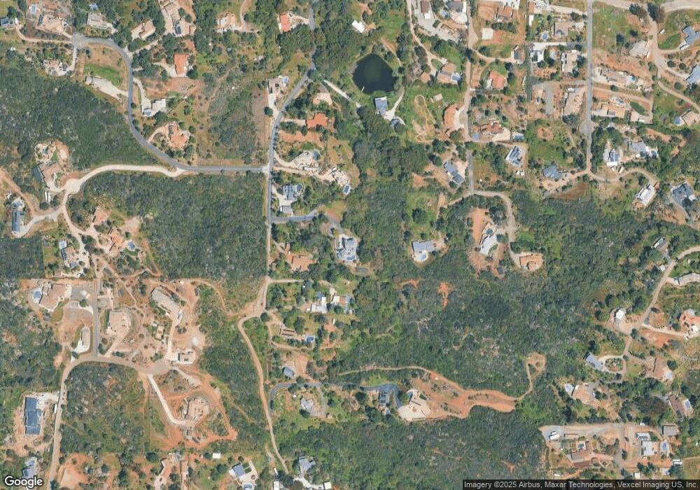
Map
Nearby Homes
- 914 S Grade Rd
- 1921 Via Corina
- 2129 Avenida Del Cielo
- 616 Alpine Heights-20acres
- 751 S Grade Rd
- 1714 Foss Rd
- 1259 Alpine Estates Place
- 1392 Nancy Lee Ln
- 1165 Midway Dr
- 1534 Alpine Terrace Rd
- 432 Arnold Way
- 346 Hunter Ct
- 510 Alpine Blvd Unit 1
- 0 Harbison Canyon Rd Unit PTP2600013
- 2302 Shaylene Way
- 2672 Big Wagon Rd
- 2016 S Grade Rd
- 2288 Boulders Ct
- 1528-44 Olivewood Ln Unit 403-350-02-00
- 2501 Columbine Dr
- 1889 Rocrest Rd
- 1819 Lilac Ln
- 1867 Rocrest Rd
- 1792 Panettah Dr
- 1815 Lilac Ln
- 1875 Rocrest Rd
- 1859 Rocrest Rd
- 1784 Panettah Dr
- 1823 Lilac Ln
- 1795 Panettah Dr
- 1833 Rocrest Rd
- 1793 Rocrest Rd
- 1776 Panettah Dr
- 1841 Lilac Ln
- 1849 Lilac Ln
- 1791 Panettah Dr
- 1867 Lilac Ln
- 1818 Rocrest Rd
- 1845 Lilac Ln
- 1787 Panettah Dr
Your Personal Tour Guide
Ask me questions while you tour the home.