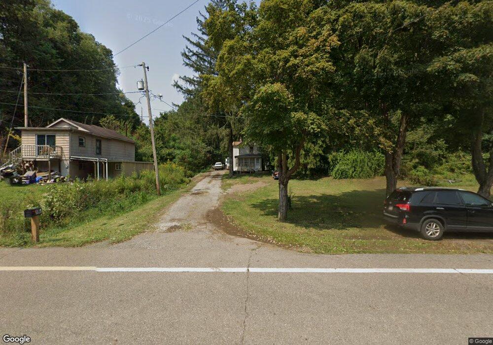
1881 State Route 151 Mingo Junction, OH 43938
Estimated Value: $80,000 - $152,000
2
Beds
2
Baths
1,088
Sq Ft
$105/Sq Ft
Est. Value
About This Home
This home is located at 1881 State Route 151, Mingo Junction, OH 43938 and is currently estimated at $114,112, approximately $104 per square foot. 1881 State Route 151 is a home located in Jefferson County with nearby schools including Buckeye Local High School.
Ownership History
Date
Name
Owned For
Owner Type
Purchase Details
Closed on
Aug 30, 2019
Sold by
Sigesmund Michael I and Brown David K
Bought by
Psrt Sigesmund Brown Llc
Current Estimated Value
Purchase Details
Closed on
Nov 1, 2018
Sold by
Kukuk Yvonne J
Bought by
Parks Christopher A
Home Financials for this Owner
Home Financials are based on the most recent Mortgage that was taken out on this home.
Original Mortgage
$49,797
Interest Rate
4.6%
Mortgage Type
Commercial
Purchase Details
Closed on
Apr 10, 2009
Sold by
Schoppe Frederick W and Schoppe Susan A
Bought by
Kukuk Yvonne J and Parks Christopher A
Home Financials for this Owner
Home Financials are based on the most recent Mortgage that was taken out on this home.
Original Mortgage
$66,810
Interest Rate
5.05%
Create a Home Valuation Report for This Property
The Home Valuation Report is an in-depth analysis detailing your home's value as well as a comparison with similar homes in the area
Home Values in the Area
Average Home Value in this Area
Purchase History
| Date | Buyer | Sale Price | Title Company |
|---|---|---|---|
| Psrt Sigesmund Brown Llc | -- | None Available | |
| Parks Christopher A | -- | None Available | |
| Kukuk Yvonne J | -- | -- |
Source: Public Records
Mortgage History
| Date | Status | Borrower | Loan Amount |
|---|---|---|---|
| Previous Owner | Parks Christopher A | $49,797 | |
| Previous Owner | Kukuk Yvonne J | $66,810 |
Source: Public Records
Tax History Compared to Growth
Tax History
| Year | Tax Paid | Tax Assessment Tax Assessment Total Assessment is a certain percentage of the fair market value that is determined by local assessors to be the total taxable value of land and additions on the property. | Land | Improvement |
|---|---|---|---|---|
| 2024 | $900 | $25,810 | $8,320 | $17,490 |
| 2023 | $900 | $21,239 | $7,438 | $13,801 |
| 2022 | $764 | $21,242 | $7,441 | $13,801 |
| 2021 | $764 | $21,242 | $7,441 | $13,801 |
| 2020 | $666 | $17,784 | $6,041 | $11,743 |
| 2019 | $669 | $0 | $0 | $0 |
| 2018 | $668 | $0 | $0 | $0 |
| 2017 | $872 | $0 | $0 | $0 |
| 2016 | $900 | $0 | $0 | $0 |
| 2015 | $804 | $0 | $0 | $0 |
| 2014 | $746 | $0 | $0 | $0 |
| 2012 | $360 | $21,700 | $6,790 | $14,910 |
Source: Public Records
Map
Nearby Homes
- 1238 County Road 19
- 113 Township Road 167
- 833 County Road 19
- 491 State Route 151
- 194 State Route 151
- 126 Ohio St
- 2221 Commercial Ave
- 2241 Main St
- 707 4th St
- 87R 26th St
- 1122 Hukill St
- 810 3rd St
- 100 17th St
- 201 Ohio St
- 2328 Commerce St
- 42 15th St
- 1501 Main St
- 218 West Blvd
- 1615 Charles St
- 306 W Benita Dr
- 1881 St Rt 151
- 1883 Ohio 151
- 1865 State Route 151
- 1870 Ohio 151
- 1870 State Route 151
- 1890 State Route 151
- 1890 Ohio 151
- 1910 State Route 151
- 1912 State Route 151
- 1711 Ohio 151
- 1560 County Road 19
- 1594 County Road 19
- 1618 County Road 19
- 1718 County Road 19
- 1640 County Road 19
- 2092 State Route 151
- 1528 County Road 19
- 1559 County Road 19
- 1599 County Road 19
- 19 Cr