18812 Lecompton Rd Leavenworth, KS 66048
Estimated Value: $519,000 - $609,959
4
Beds
2
Baths
3,103
Sq Ft
$184/Sq Ft
Est. Value
About This Home
This home is located at 18812 Lecompton Rd, Leavenworth, KS 66048 and is currently estimated at $569,653, approximately $183 per square foot. 18812 Lecompton Rd is a home located in Leavenworth County with nearby schools including Pleasant Ridge Elementary School, Pleasant Ridge Middle School, and Pleasant Ridge High School.
Ownership History
Date
Name
Owned For
Owner Type
Purchase Details
Closed on
Oct 1, 1996
Bought by
Polli Steve and Polli Cynthia M
Current Estimated Value
Home Financials for this Owner
Home Financials are based on the most recent Mortgage that was taken out on this home.
Original Mortgage
$135,000
Interest Rate
6%
Mortgage Type
New Conventional
Create a Home Valuation Report for This Property
The Home Valuation Report is an in-depth analysis detailing your home's value as well as a comparison with similar homes in the area
Home Values in the Area
Average Home Value in this Area
Purchase History
| Date | Buyer | Sale Price | Title Company |
|---|---|---|---|
| Polli Steve | $157,500 | -- |
Source: Public Records
Mortgage History
| Date | Status | Borrower | Loan Amount |
|---|---|---|---|
| Closed | Polli Steve | $135,000 |
Source: Public Records
Tax History Compared to Growth
Tax History
| Year | Tax Paid | Tax Assessment Tax Assessment Total Assessment is a certain percentage of the fair market value that is determined by local assessors to be the total taxable value of land and additions on the property. | Land | Improvement |
|---|---|---|---|---|
| 2025 | $5,110 | $49,254 | $8,617 | $40,637 |
| 2024 | $4,962 | $47,553 | $8,063 | $39,490 |
| 2023 | $4,962 | $46,119 | $7,942 | $38,177 |
| 2022 | $4,358 | $40,589 | $6,439 | $34,150 |
| 2021 | $3,684 | $33,674 | $5,130 | $28,544 |
| 2020 | $3,493 | $31,791 | $4,876 | $26,915 |
| 2019 | $3,349 | $30,430 | $4,211 | $26,219 |
| 2018 | $3,128 | $28,509 | $4,058 | $24,451 |
| 2017 | $2,967 | $26,951 | $4,013 | $22,938 |
| 2016 | $2,950 | $26,887 | $3,876 | $23,011 |
| 2015 | $2,823 | $25,788 | $3,816 | $21,972 |
| 2014 | $2,647 | $24,306 | $3,747 | $20,559 |
Source: Public Records
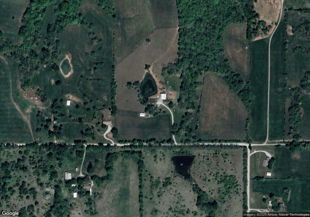
Map
Nearby Homes
- Lot 5 195th St
- Lot 4 195th St
- 28527 187th St
- Lot 5 Bauserman Rd
- 17470 Springdale Rd
- 1964 Eisenhower Rd
- 503 Limit St
- 000000 195th St
- 0 195th St
- 52 acres Springdale Rd
- 00000 Michals Rd
- 00000 Edwards Terrace
- 17051 Mount Olivet Rd
- 2308 Hebbeln Dr
- 17739 Eisenhower Rd
- 2248 Vilas St
- 1908 Pine Ridge Dr
- 2101 Spruce St
- 17096 Eisenhower Rd
- 1923 Woodridge Dr
- 18986 Lecompton Rd
- 29182 187th St
- 18933 Lecompton Rd
- Lecompton Rd
- 29100 187th St
- 29220 187th St
- 29058 187th St
- 19171 Lecompton Rd
- 19241 Lecompton Rd
- 19224 Springdale Rd
- 19262 Lecompton Rd
- 19324 Lecompton Rd
- Lot 4 187th St
- 19331 Lecompton Rd
- 29303 183rd St
- 19132 Springdale Rd
- 19300 Springdale Rd
- 19380 Lecompton Rd
- 29324 195th St
- 18362 Springdale Rd