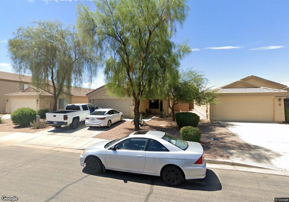
18826 N Lousandra Dr Unit 2 Maricopa, AZ 85138
Estimated Value: $265,000 - $285,000
3
Beds
2
Baths
1,370
Sq Ft
$202/Sq Ft
Est. Value
About This Home
This home is located at 18826 N Lousandra Dr Unit 2, Maricopa, AZ 85138 and is currently estimated at $277,346, approximately $202 per square foot. 18826 N Lousandra Dr Unit 2 is a home located in Pinal County with nearby schools including Butterfield Elementary School, Maricopa High School, and Maricopa Wells Middle School.
Ownership History
Date
Name
Owned For
Owner Type
Purchase Details
Closed on
Jun 22, 2011
Sold by
Hernandez Anastacio Villa Gomez
Bought by
De Haan Real Estate Partnership Lp
Current Estimated Value
Purchase Details
Closed on
Apr 30, 2009
Sold by
Donovan Shaun
Bought by
Hernandez Anastacio Villa Gomez
Purchase Details
Closed on
Jun 14, 2008
Sold by
Mitchell Nicholas S and Mitchell Kasey N
Bought by
Wells Fargo Bank Na
Purchase Details
Closed on
May 28, 2008
Sold by
Wells Fargo Bank Na
Bought by
Hud
Purchase Details
Closed on
Mar 28, 2006
Sold by
D R Horton Inc Dietz Crane
Bought by
Mitchell Nicholas S and Mitchell Kasey N
Home Financials for this Owner
Home Financials are based on the most recent Mortgage that was taken out on this home.
Original Mortgage
$187,870
Interest Rate
6.25%
Mortgage Type
FHA
Create a Home Valuation Report for This Property
The Home Valuation Report is an in-depth analysis detailing your home's value as well as a comparison with similar homes in the area
Home Values in the Area
Average Home Value in this Area
Purchase History
| Date | Buyer | Sale Price | Title Company |
|---|---|---|---|
| De Haan Real Estate Partnership Lp | $65,000 | Driggs Title Agency Inc | |
| Hernandez Anastacio Villa Gomez | -- | None Available | |
| Wells Fargo Bank Na | -- | Great American Title Agency | |
| Hud | -- | Great American Title Agency | |
| Mitchell Nicholas S | $190,819 | Dhi Title Of Arizona Inc |
Source: Public Records
Mortgage History
| Date | Status | Borrower | Loan Amount |
|---|---|---|---|
| Previous Owner | Mitchell Nicholas S | $187,870 |
Source: Public Records
Tax History Compared to Growth
Tax History
| Year | Tax Paid | Tax Assessment Tax Assessment Total Assessment is a certain percentage of the fair market value that is determined by local assessors to be the total taxable value of land and additions on the property. | Land | Improvement |
|---|---|---|---|---|
| 2025 | $1,666 | $20,339 | -- | -- |
| 2024 | $1,641 | $24,804 | -- | -- |
| 2023 | $1,682 | $20,275 | $5,227 | $15,048 |
| 2022 | $1,641 | $15,197 | $3,659 | $11,538 |
| 2021 | $1,676 | $11,758 | $0 | $0 |
| 2020 | $1,603 | $11,705 | $0 | $0 |
| 2019 | $1,483 | $10,827 | $0 | $0 |
| 2018 | $1,455 | $10,150 | $0 | $0 |
| 2017 | $1,421 | $10,286 | $0 | $0 |
| 2016 | $1,299 | $10,487 | $1,250 | $9,237 |
| 2014 | $1,247 | $5,683 | $1,000 | $4,683 |
Source: Public Records
Map
Nearby Homes
- 43322 W Blazen Trail
- 43314 W Blazen Trail
- 43501 W Blazen Trail
- 43601 W Cowpath Rd
- 43631 W Cowpath Rd
- 43573 W Blazen Trail Unit 1
- 18913 N Leland Rd
- 43621 W Acacia Ave
- 43213 W Cowpath Rd
- 18774 N Ibis Way
- 18465 N Lakeside Dr
- 43227 W Kristal Ln
- 19311 N Gabriel Path
- 43845 W Elizabeth Ave
- 18294 N Presley Ln
- 18333 N Presley Ln
- 43298 W Arizona Ave
- 43348 W Wild Horse Trail
- 19213 N Wilson St Unit 3
- 18856 N Comet Trail Unit 3
- 18816 N Lousandra Dr
- 18836 N Lousandra Dr
- 18806 N Lousandra Dr
- 18794 N Lousandra Dr
- 43410 W Elizabeth Ave
- 18864 N Lousandra Dr
- 43411 W Elizabeth Ave
- 18782 N Lousandra Dr
- 43400 W Elizabeth Ave
- 43401 W Elizabeth Ave
- 18903 N Shelby Dr
- 18891 N Shelby Dr
- 18772 N Lousandra Dr
- 43361 W Blazen Trail
- 18919 N Shelby Dr
- 43390 W Elizabeth Ave
- 43454 W Cowpath Rd Unit 2
- 43391 W Elizabeth Ave
- 43349 W Blazen Trail
- 43349 W Blazen Trail Unit 1