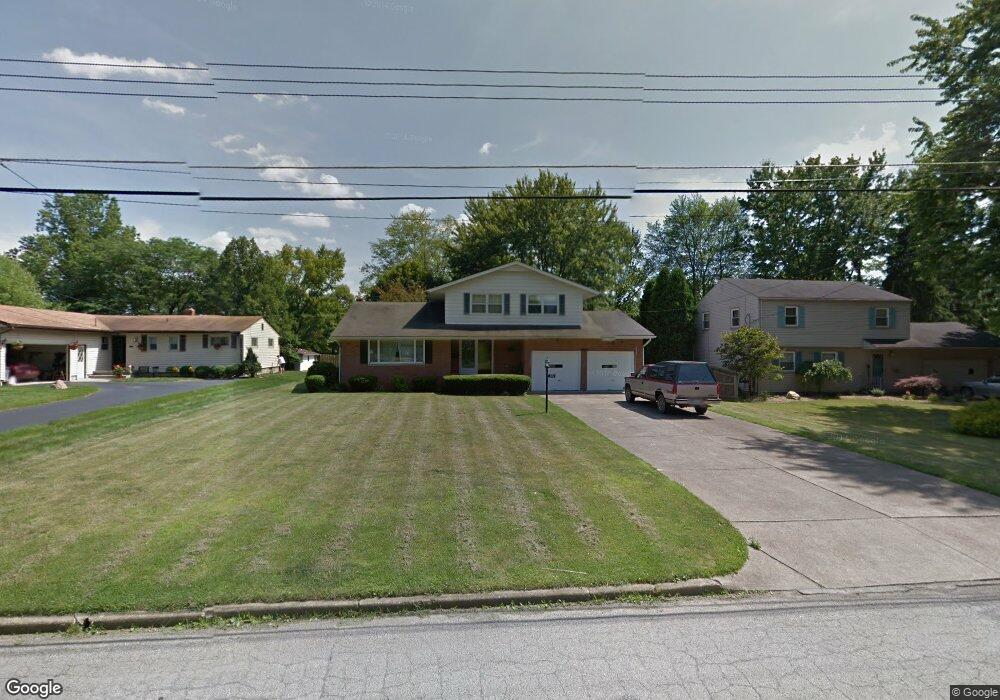
1883 Cover Dr Youngstown, OH 44514
Estimated Value: $238,000 - $256,000
3
Beds
2
Baths
1,738
Sq Ft
$142/Sq Ft
Est. Value
About This Home
This home is located at 1883 Cover Dr, Youngstown, OH 44514 and is currently estimated at $247,197, approximately $142 per square foot. 1883 Cover Dr is a home located in Mahoning County with nearby schools including Poland Union Elementary School, Poland Middle School, and Poland Seminary High School.
Ownership History
Date
Name
Owned For
Owner Type
Purchase Details
Closed on
Jun 1, 2021
Sold by
Annico Casey
Bought by
Jordan Alyssa and Annico Alyssa
Current Estimated Value
Purchase Details
Closed on
May 17, 2011
Sold by
Habib George
Bought by
Annico Casey and Jordan Alyssa
Home Financials for this Owner
Home Financials are based on the most recent Mortgage that was taken out on this home.
Original Mortgage
$105,450
Outstanding Balance
$73,552
Interest Rate
4.96%
Mortgage Type
New Conventional
Estimated Equity
$173,645
Purchase Details
Closed on
Aug 21, 1964
Bought by
Habib George and Habib Arlene
Create a Home Valuation Report for This Property
The Home Valuation Report is an in-depth analysis detailing your home's value as well as a comparison with similar homes in the area
Home Values in the Area
Average Home Value in this Area
Purchase History
| Date | Buyer | Sale Price | Title Company |
|---|---|---|---|
| Jordan Alyssa | -- | None Available | |
| Annico Casey | $111,000 | Attorney | |
| Habib George | -- | -- |
Source: Public Records
Mortgage History
| Date | Status | Borrower | Loan Amount |
|---|---|---|---|
| Open | Annico Casey | $105,450 |
Source: Public Records
Tax History Compared to Growth
Tax History
| Year | Tax Paid | Tax Assessment Tax Assessment Total Assessment is a certain percentage of the fair market value that is determined by local assessors to be the total taxable value of land and additions on the property. | Land | Improvement |
|---|---|---|---|---|
| 2024 | $3,894 | $76,050 | $9,020 | $67,030 |
| 2023 | $3,702 | $73,150 | $9,020 | $64,130 |
| 2022 | $2,946 | $48,370 | $9,180 | $39,190 |
| 2021 | $2,951 | $48,370 | $9,180 | $39,190 |
| 2020 | $2,962 | $48,370 | $9,180 | $39,190 |
| 2019 | $2,677 | $39,970 | $7,580 | $32,390 |
| 2018 | $2,514 | $39,970 | $7,580 | $32,390 |
| 2017 | $2,445 | $39,970 | $7,580 | $32,390 |
| 2016 | $2,378 | $36,260 | $7,580 | $28,680 |
| 2015 | $2,333 | $36,260 | $7,580 | $28,680 |
| 2014 | $2,340 | $36,260 | $7,580 | $28,680 |
| 2013 | $2,313 | $36,260 | $7,580 | $28,680 |
Source: Public Records
Map
Nearby Homes
- 1827 Alverne Dr
- 1804 Alverne Dr
- 1738 Island Dr
- 1 Michigan Ave
- 43 Venloe Dr
- 34 Venloe Dr
- 2035 Woodward Ave
- 1894 Lealand Ave
- 8360 South Ave
- 2295 Bel Aire Ln
- 1859 Mathews Rd
- 2379 Clyde St
- 1890 Mathews Rd
- 0 Mathews Rd Unit 5149232
- 0 Mathews Rd Unit 5143059
- 2153 Lyon Blvd
- 2307 Hamilton Ave
- 2128 Lyon Blvd
- 829 Pearson Cir
- 6074 Frontier Dr