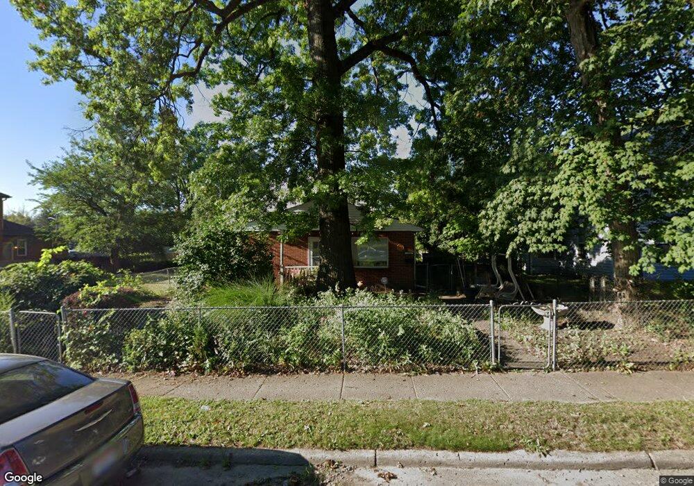
1883 Denune Ave Unit 885 Columbus, OH 43211
East Linden NeighborhoodEstimated Value: $188,000 - $237,307
4
Beds
4
Baths
2,314
Sq Ft
$90/Sq Ft
Est. Value
About This Home
This home is located at 1883 Denune Ave Unit 885, Columbus, OH 43211 and is currently estimated at $209,077, approximately $90 per square foot. 1883 Denune Ave Unit 885 is a home located in Franklin County with nearby schools including Linden STEM Academy (K-6), Linden-Mckinley Stem School On Arcadia, and Focus Learning Academy of Central Columbus.
Ownership History
Date
Name
Owned For
Owner Type
Purchase Details
Closed on
Mar 16, 2001
Sold by
Renard James F and Renard Torres Julia
Bought by
Bolen Dwight W
Current Estimated Value
Home Financials for this Owner
Home Financials are based on the most recent Mortgage that was taken out on this home.
Original Mortgage
$71,100
Outstanding Balance
$25,909
Interest Rate
7.03%
Estimated Equity
$183,168
Purchase Details
Closed on
Dec 20, 1968
Bought by
Renard James F
Create a Home Valuation Report for This Property
The Home Valuation Report is an in-depth analysis detailing your home's value as well as a comparison with similar homes in the area
Home Values in the Area
Average Home Value in this Area
Purchase History
| Date | Buyer | Sale Price | Title Company |
|---|---|---|---|
| Bolen Dwight W | $79,000 | -- | |
| Renard James F | -- | -- |
Source: Public Records
Mortgage History
| Date | Status | Borrower | Loan Amount |
|---|---|---|---|
| Open | Bolen Dwight W | $71,100 |
Source: Public Records
Tax History Compared to Growth
Tax History
| Year | Tax Paid | Tax Assessment Tax Assessment Total Assessment is a certain percentage of the fair market value that is determined by local assessors to be the total taxable value of land and additions on the property. | Land | Improvement |
|---|---|---|---|---|
| 2024 | $3,091 | $68,150 | $9,170 | $58,980 |
| 2023 | $3,052 | $68,145 | $9,170 | $58,975 |
| 2022 | $1,257 | $23,950 | $2,980 | $20,970 |
| 2021 | $1,260 | $23,950 | $2,980 | $20,970 |
| 2020 | $1,261 | $23,950 | $2,980 | $20,970 |
| 2019 | $1,279 | $20,830 | $2,590 | $18,240 |
| 2018 | $1,310 | $20,830 | $2,590 | $18,240 |
| 2017 | $1,378 | $20,830 | $2,590 | $18,240 |
| 2016 | $1,477 | $22,020 | $2,660 | $19,360 |
| 2015 | $1,343 | $22,020 | $2,660 | $19,360 |
| 2014 | $1,346 | $22,020 | $2,660 | $19,360 |
| 2013 | $782 | $25,935 | $3,150 | $22,785 |
Source: Public Records
Map
Nearby Homes
- 1967 Denune Ave
- 00 Minnesota Ave
- 01 Minnesota Ave
- 1326 Minnesota Ave
- 1985 Aberdeen Ave
- 2765 Joyce Ave
- 2771 Fern Ave
- 1995 Minnesota Ave
- 1853 E Lakeview Ave
- 1691 E Weber Rd
- 1669 Manchester Ave
- 2444 Bancroft St
- 2480 Parkwood Ave
- 1938 Myrtle Ave
- 2096 Minnesota Ave
- 1627 E Weber Rd
- 1615 Minnesota Ave
- 1799 Harold Place
- 2055 Earl Ave
- 1591-1593 E Weber Rd
- 1889 Denune Ave
- 1879 Denune Ave
- 1897 Denune Ave
- 1873 Denune Ave
- 1911 Denune Ave Unit 8
- 1911 Denune Ave
- 1865 Denune Ave Unit 867
- 1874 Aberdeen Ave
- 1913 Denune Ave Unit C
- 1913 Denune Ave Unit B
- 1913 Denune Ave Unit A
- 1913 Denune Ave
- 1868 Aberdeen Ave
- 1863 Denune Ave
- 1862 Aberdeen Ave
- 1888 Aberdeen Ave
- 1858 Aberdeen Ave
- 1892 Denune Ave
- 1886 Denune Ave
- 1857 Denune Ave