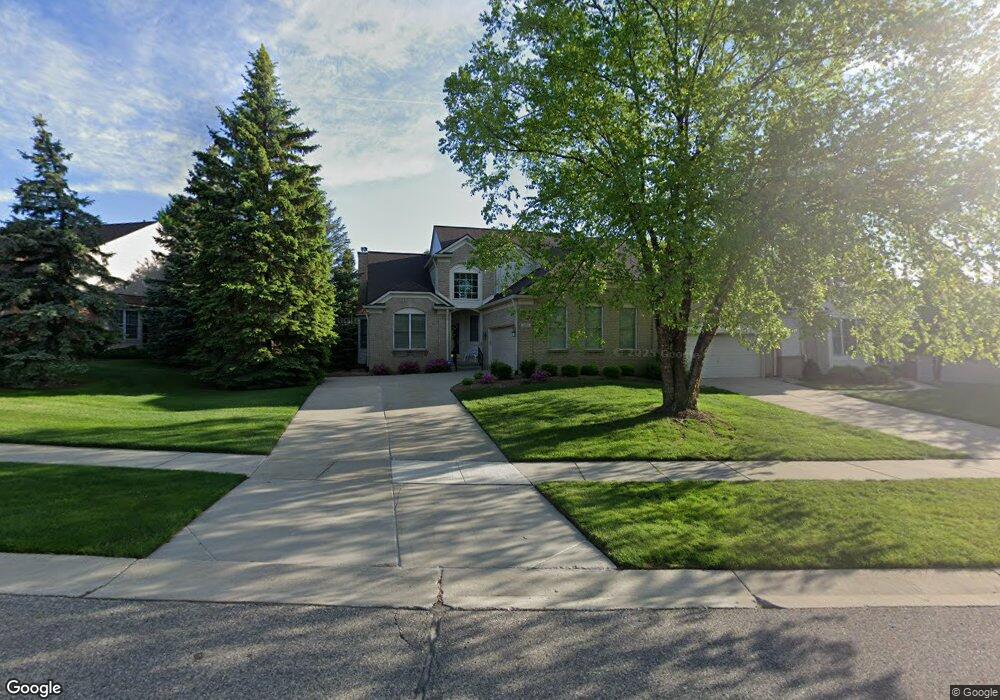
1883 Dunham Dr Rochester, MI 48306
Estimated Value: $520,620 - $550,000
3
Beds
3
Baths
2,243
Sq Ft
$240/Sq Ft
Est. Value
About This Home
This home is located at 1883 Dunham Dr, Rochester, MI 48306 and is currently estimated at $539,155, approximately $240 per square foot. 1883 Dunham Dr is a home located in Oakland County with nearby schools including Hart Middle School, Hugger Elementary School, and Stoney Creek High School.
Ownership History
Date
Name
Owned For
Owner Type
Purchase Details
Closed on
Dec 30, 2002
Sold by
Miks Barbara A and Miks Frank A
Bought by
Miks Barbara Ann and Barbara Ann Miks Revocable Trust
Current Estimated Value
Purchase Details
Closed on
Oct 17, 2002
Sold by
Miks Barbara A
Bought by
Miks Barbara Ann and Miks Revocable Trust
Purchase Details
Closed on
Nov 1, 2001
Sold by
Miks Frank A
Bought by
Miks Trust
Purchase Details
Closed on
Mar 30, 2000
Sold by
Pulte Land Dev Corp
Bought by
Miks Frank A
Create a Home Valuation Report for This Property
The Home Valuation Report is an in-depth analysis detailing your home's value as well as a comparison with similar homes in the area
Home Values in the Area
Average Home Value in this Area
Purchase History
| Date | Buyer | Sale Price | Title Company |
|---|---|---|---|
| Miks Barbara Ann | -- | -- | |
| Miks Barbara Ann | -- | -- | |
| Miks Trust | -- | -- | |
| Miks Frank A | -- | -- |
Source: Public Records
Tax History Compared to Growth
Tax History
| Year | Tax Paid | Tax Assessment Tax Assessment Total Assessment is a certain percentage of the fair market value that is determined by local assessors to be the total taxable value of land and additions on the property. | Land | Improvement |
|---|---|---|---|---|
| 2024 | $4,295 | $218,540 | $0 | $0 |
| 2023 | $4,113 | $199,540 | $0 | $0 |
| 2022 | $4,375 | $190,330 | $0 | $0 |
| 2021 | $4,110 | $186,700 | $0 | $0 |
| 2020 | $3,859 | $180,430 | $0 | $0 |
| 2019 | $4,243 | $175,890 | $0 | $0 |
| 2018 | $4,238 | $173,950 | $0 | $0 |
| 2017 | $4,155 | $172,640 | $0 | $0 |
| 2016 | $4,023 | $167,400 | $0 | $0 |
| 2015 | -- | $148,850 | $0 | $0 |
| 2014 | -- | $130,180 | $0 | $0 |
| 2011 | -- | $108,810 | $0 | $0 |
Source: Public Records
Map
Nearby Homes
- 1983 Dunham Dr
- 628 Springview Dr Unit 120
- 1322 Copper Cir Unit 26
- 1955 Clearwood Ct Unit 665
- 674 Springview Dr
- 1600 Mill Race
- 877 Quarry
- 861 Quarry
- 6230 Winkler Mill Rd
- 2156 Willow Cir
- 1985 Monarch Dr Unit 7
- 2113 Marissa Way Unit 99
- 54673 Marissa Way Unit 93
- 2423 Buckthorn Dr
- 2583 Barberry Dr
- 2632 Hawthorne Dr S
- 767 E Bluff Ct Unit 7
- 2282 Kingscross Dr
- 620 Appoline Ct
- 54782 Whitby Way
- 1871 Dunham Dr
- 1901 Dunham Dr
- 1659 Maple Creek Ct
- 1659 Maple Creek Ct Unit 104
- 1904 Dunham Dr
- 1880 Dunham Dr
- 1663 Maple Creek Ct
- 1892 Dunham Dr Unit 14
- 1892 Dunham Dr Unit 7, 14
- 1892 Dunham Dr
- 1911 Dunham Dr Unit 87
- 1859 Dunham Dr Unit 79
- 1859 Dunham Dr
- 1868 Dunham Dr
- 1655 Maple Creek Ct Unit 105
- 1669 Maple Creek Ct Unit 50, 100
- 1669 Maple Creek Ct Unit 100
- 1856 Dunham Dr
- 1404 Welland Dr
- 1635 Boulder Ct Unit 54