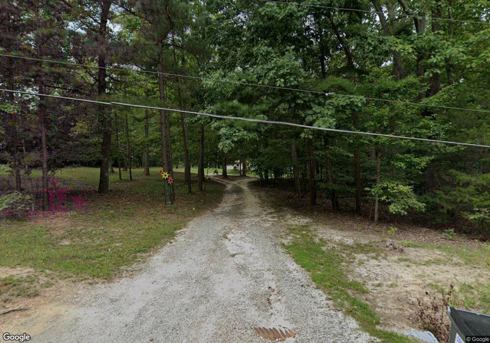
1883 Manakintown Ferry Rd Midlothian, VA 23113
Estimated Value: $328,704 - $446,000
1
Bed
1
Bath
400
Sq Ft
$920/Sq Ft
Est. Value
About This Home
This home is located at 1883 Manakintown Ferry Rd, Midlothian, VA 23113 and is currently estimated at $367,901, approximately $919 per square foot. 1883 Manakintown Ferry Rd is a home with nearby schools including Flat Rock Elementary School, Pocahontas Middle School, and Powhatan Middle School.
Ownership History
Date
Name
Owned For
Owner Type
Purchase Details
Closed on
Mar 26, 2018
Sold by
Lee Robert E
Bought by
Fuller Pamela A and Fuentes Benita
Current Estimated Value
Home Financials for this Owner
Home Financials are based on the most recent Mortgage that was taken out on this home.
Original Mortgage
$141,600
Outstanding Balance
$121,432
Interest Rate
4.32%
Mortgage Type
New Conventional
Estimated Equity
$246,469
Create a Home Valuation Report for This Property
The Home Valuation Report is an in-depth analysis detailing your home's value as well as a comparison with similar homes in the area
Home Values in the Area
Average Home Value in this Area
Purchase History
| Date | Buyer | Sale Price | Title Company |
|---|---|---|---|
| Fuller Pamela A | $177,000 | -- |
Source: Public Records
Mortgage History
| Date | Status | Borrower | Loan Amount |
|---|---|---|---|
| Open | Fuller Pamela A | $141,600 |
Source: Public Records
Tax History Compared to Growth
Tax History
| Year | Tax Paid | Tax Assessment Tax Assessment Total Assessment is a certain percentage of the fair market value that is determined by local assessors to be the total taxable value of land and additions on the property. | Land | Improvement |
|---|---|---|---|---|
| 2025 | $1,909 | $254,500 | $197,700 | $56,800 |
| 2024 | $1,626 | $235,700 | $183,100 | $52,600 |
| 2023 | $1,570 | $221,100 | $177,100 | $44,000 |
| 2022 | $1,702 | $221,100 | $177,100 | $44,000 |
| 2021 | $1,574 | $185,200 | $172,100 | $13,100 |
| 2020 | $1,574 | $177,600 | $166,100 | $11,500 |
| 2019 | $1,563 | $177,600 | $166,100 | $11,500 |
| 2018 | $1,427 | $177,600 | $166,100 | $11,500 |
| 2017 | $1,388 | $165,700 | $153,300 | $12,400 |
| 2016 | $1,388 | $165,700 | $153,300 | $12,400 |
| 2014 | $1,388 | $154,200 | $141,300 | $12,900 |
Source: Public Records
Map
Nearby Homes
- 1711 Douthit Ct
- 2400 Buhrstone Ct
- 1601 Holly Hills Rd
- 212 County Line Rd
- 0 Manakintown Ferry Rd Unit 2519318
- 1720 Linda Carol Dr
- 516 Mt Hermon Rd
- 1981 Urbine Rd
- 1505 Stavemill Ct
- Sycamore Plan at The Aire At Westchester - The Aire at Westchester
- Hemlock Plan at The Aire At Westchester - The Aire at Westchester
- Aspen Plan at The Aire At Westchester - The Aire at Westchester
- Cameron Plan at The Aire At Westchester - Townhomes
- Drake Plan at The Aire At Westchester - Townhomes
- 16029 Aspect Way
- 16041 Aspect Way
- 16025 Aspect Way
- 307 Golden Haze Alley Unit 9-1
- 301 Golden Haze Alley Unit 8-1
- 231 Golden Haze Alley Unit 6-1
- 1855 Manakintown Ferry Rd
- 1895 Manakintown Ferry Rd
- 1849 Manakintown Ferry Rd
- 1905 Manakintown Ferry Rd
- 1843 Manakintown Ferry Rd
- 1843 State Route 635
- 1830 Hillenwood Dr
- 1837 Manakintown Ferry Rd
- 1834 Hillenwood Dr
- 1940 State Route 635
- 1826 Hillenwood Dr
- 1831 Manakintown Ferry Rd
- 1831 Hillenwood Dr
- 1820 Hillenwood Dr
- 1825 Hillenwood Dr
- 1825 Manakintown Ferry Rd
- 1814 Hillenwood Dr
- 1819 Hillenwood Dr
- 1822 High Hill Dr
- 1818 Manakintown Ferry Rd
