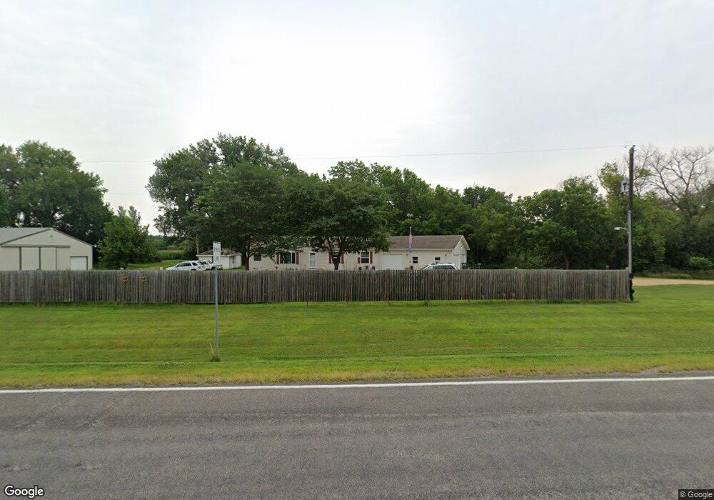
18833 State Highway 83 Mankato, MN 56001
Estimated Value: $426,982 - $482,000
3
Beds
3
Baths
1,680
Sq Ft
$276/Sq Ft
Est. Value
About This Home
This home is located at 18833 State Highway 83, Mankato, MN 56001 and is currently estimated at $464,496, approximately $276 per square foot. 18833 State Highway 83 is a home located in Blue Earth County with nearby schools including St. Clair Elementary School and St. Clair Secondary School.
Ownership History
Date
Name
Owned For
Owner Type
Purchase Details
Closed on
May 12, 2017
Sold by
Friesen Howard and Friesen Rhonda J
Bought by
Zuehlke Nicholas J
Current Estimated Value
Home Financials for this Owner
Home Financials are based on the most recent Mortgage that was taken out on this home.
Original Mortgage
$284,905
Outstanding Balance
$237,193
Interest Rate
4.14%
Mortgage Type
New Conventional
Estimated Equity
$227,303
Create a Home Valuation Report for This Property
The Home Valuation Report is an in-depth analysis detailing your home's value as well as a comparison with similar homes in the area
Home Values in the Area
Average Home Value in this Area
Purchase History
| Date | Buyer | Sale Price | Title Company |
|---|---|---|---|
| Zuehlke Nicholas J | $299,900 | Stewart Title |
Source: Public Records
Mortgage History
| Date | Status | Borrower | Loan Amount |
|---|---|---|---|
| Open | Zuehlke Nicholas J | $284,905 |
Source: Public Records
Tax History Compared to Growth
Tax History
| Year | Tax Paid | Tax Assessment Tax Assessment Total Assessment is a certain percentage of the fair market value that is determined by local assessors to be the total taxable value of land and additions on the property. | Land | Improvement |
|---|---|---|---|---|
| 2025 | $3,336 | $389,700 | $79,400 | $310,300 |
| 2024 | $3,336 | $365,600 | $79,400 | $286,200 |
| 2023 | $3,526 | $373,100 | $79,400 | $293,700 |
| 2022 | $3,414 | $346,000 | $79,400 | $266,600 |
| 2021 | $2,608 | $299,100 | $79,400 | $219,700 |
| 2020 | $2,440 | $267,000 | $63,800 | $203,200 |
| 2019 | $2,332 | $267,000 | $63,800 | $203,200 |
| 2018 | $2,158 | $252,400 | $63,800 | $188,600 |
| 2017 | $2,182 | $248,400 | $69,800 | $178,600 |
| 2016 | $1,686 | $242,400 | $69,800 | $172,600 |
| 2015 | $16 | $189,600 | $58,100 | $131,500 |
| 2014 | $2,036 | $190,000 | $58,100 | $131,900 |
Source: Public Records
Map
Nearby Homes
- 120 120 S Front St
- 506 Miller Ln
- 506 506 Miller Ln
- 301 Hilton Dr
- 60843 177th St
- 510 River Hills Rd
- TBD 200th St
- 0 200th St
- XXX 602nd Ave
- 602nd Avenue
- Tbd 200th St
- 60451 211th St
- 0 Tbd Oak Dr
- 60639 211th St
- 58560 Kirkwood Rd
- 205 Peregrine Ave
- 121 Hawk Ave
- 106 106 E Connie Ln Unit 106 Connie Lane E
- 105 105 Gray Fox Path
- 104 White Fox Path
- 18833 State Highway 83 Unit State Hwy 83
- 18893 State Highway 83
- 18820 State Highway 83
- 756 Main St W
- 620 Main St W
- 19029 State Highway 83
- 600 Main St W
- 517 Main St W
- 60065 189th St
- 106 Horseshoe Ln
- 512 Main St W
- 512 512 W Main St
- 513 513 Main St W
- 513 513 W Main St
- 513 Main St W
- 104 Horseshoe Ln
- 104 104 Horseshoe Ln
- 111 Horseshoe Ln
- 505 Main St W
- 102 Horseshoe Ln