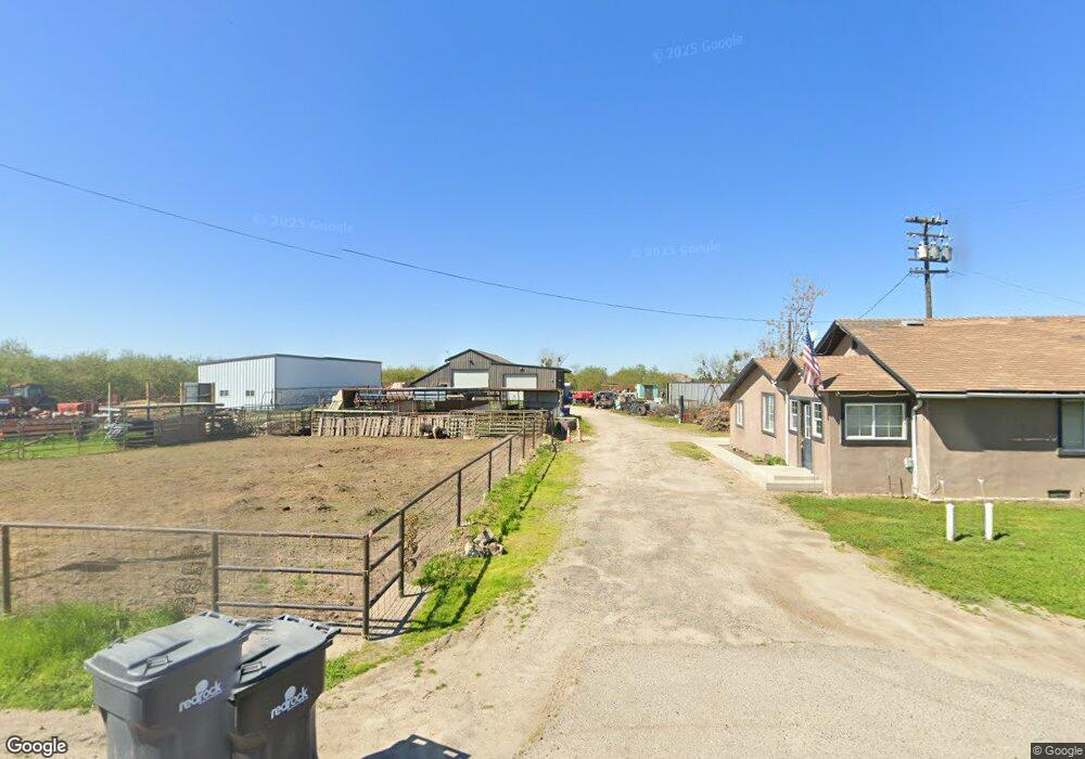
18836 Road 13 Chowchilla, CA 93610
Estimated Value: $202,000 - $662,000
2
Beds
1
Bath
1,160
Sq Ft
$380/Sq Ft
Est. Value
About This Home
This home is located at 18836 Road 13, Chowchilla, CA 93610 and is currently estimated at $441,333, approximately $380 per square foot. 18836 Road 13 is a home located in Madera County with nearby schools including Alview Elementary School, Dairyland Elementary School, and Chowchilla Union High School.
Ownership History
Date
Name
Owned For
Owner Type
Purchase Details
Closed on
Jan 15, 2010
Sold by
Hsbc Bank Usa National Association
Bought by
Bliss Mathew and Bliss Jennifer
Current Estimated Value
Purchase Details
Closed on
Sep 8, 2009
Sold by
Vue Doua
Bought by
Hsbc Bank Usa National Association
Purchase Details
Closed on
Apr 8, 2005
Sold by
Proctor James S and Proctor Relecita A
Bought by
Vue Doua
Home Financials for this Owner
Home Financials are based on the most recent Mortgage that was taken out on this home.
Original Mortgage
$272,000
Interest Rate
8.1%
Mortgage Type
Fannie Mae Freddie Mac
Create a Home Valuation Report for This Property
The Home Valuation Report is an in-depth analysis detailing your home's value as well as a comparison with similar homes in the area
Home Values in the Area
Average Home Value in this Area
Purchase History
| Date | Buyer | Sale Price | Title Company |
|---|---|---|---|
| Bliss Mathew | $95,500 | Chicago Title Company | |
| Hsbc Bank Usa National Association | $166,500 | None Available | |
| Vue Doua | $320,000 | -- |
Source: Public Records
Mortgage History
| Date | Status | Borrower | Loan Amount |
|---|---|---|---|
| Previous Owner | Vue Doua | $272,000 |
Source: Public Records
Tax History Compared to Growth
Tax History
| Year | Tax Paid | Tax Assessment Tax Assessment Total Assessment is a certain percentage of the fair market value that is determined by local assessors to be the total taxable value of land and additions on the property. | Land | Improvement |
|---|---|---|---|---|
| 2025 | $4,149 | $396,572 | $164,306 | $232,266 |
| 2023 | $4,149 | $381,660 | $157,927 | $223,733 |
| 2022 | $3,883 | $364,068 | $151,796 | $212,272 |
| 2021 | $4,067 | $391,568 | $151,796 | $239,772 |
| 2020 | $3,730 | $360,336 | $150,240 | $210,096 |
| 2019 | $3,661 | $353,271 | $147,295 | $205,976 |
| 2018 | $3,584 | $346,344 | $144,407 | $201,937 |
| 2017 | $3,610 | $339,555 | $141,576 | $197,979 |
| 2016 | $3,435 | $332,898 | $138,800 | $194,098 |
| 2015 | $3,394 | $327,899 | $136,716 | $191,183 |
| 2014 | $2,235 | $148,048 | $105,298 | $42,750 |
Source: Public Records
Map
Nearby Homes
- 12390 Avenue 18 1 2
- 14125 Ave 18
- 20676 Road 13
- 0 Road 11
- 14876 Avenue 22
- 22850 Road 13
- 16898 Avenue 17 1 2
- 12487 Avenue 14
- 13601 Avenue 23 1 2
- 19338 Road 18
- 1642 Avenue 21
- 14125 Ave 18 1 2
- 5 Avenue 26
- 0 Avenue 23 1 2 Unit 224080618
- 0 Avenue 23 1 2 Unit MC24150106
- 41 - 47 Robertson Blvd
- 19249 Avenue 18
- 1564 Roosevelt Dr
- 1 Adams Dr
- 41-47 Robertson Blvd