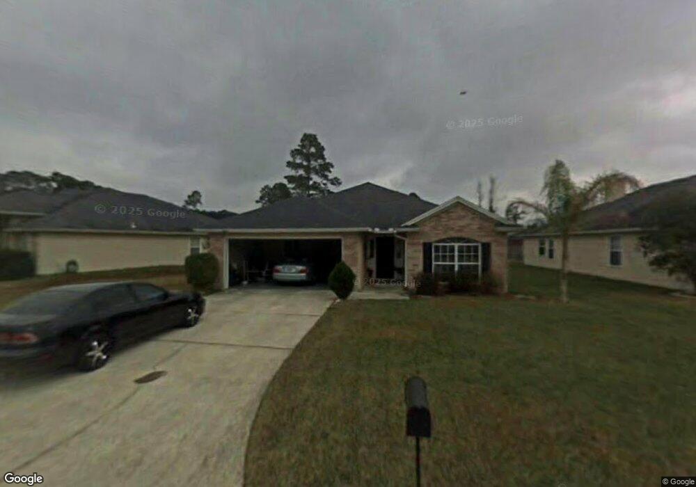
1884 Harbor Island Dr Unit 1 Fleming Island, FL 32003
Estimated Value: $327,000 - $372,000
4
Beds
2
Baths
1,710
Sq Ft
$205/Sq Ft
Est. Value
About This Home
This home is located at 1884 Harbor Island Dr Unit 1, Fleming Island, FL 32003 and is currently estimated at $350,857, approximately $205 per square foot. 1884 Harbor Island Dr Unit 1 is a home located in Clay County with nearby schools including Robert M. Paterson Elementary School, Fleming Island High School, and Green Cove Springs Junior High School.
Ownership History
Date
Name
Owned For
Owner Type
Purchase Details
Closed on
Sep 15, 2003
Sold by
Lopez Linda Morales and Lopez Reynaldo
Bought by
Lockhart Diane D
Current Estimated Value
Home Financials for this Owner
Home Financials are based on the most recent Mortgage that was taken out on this home.
Original Mortgage
$110,000
Outstanding Balance
$50,204
Interest Rate
6.24%
Mortgage Type
Purchase Money Mortgage
Estimated Equity
$300,653
Create a Home Valuation Report for This Property
The Home Valuation Report is an in-depth analysis detailing your home's value as well as a comparison with similar homes in the area
Home Values in the Area
Average Home Value in this Area
Purchase History
| Date | Buyer | Sale Price | Title Company |
|---|---|---|---|
| Lockhart Diane D | $146,000 | Fleming Island Title Company |
Source: Public Records
Mortgage History
| Date | Status | Borrower | Loan Amount |
|---|---|---|---|
| Open | Lockhart Diane D | $110,000 |
Source: Public Records
Tax History Compared to Growth
Tax History
| Year | Tax Paid | Tax Assessment Tax Assessment Total Assessment is a certain percentage of the fair market value that is determined by local assessors to be the total taxable value of land and additions on the property. | Land | Improvement |
|---|---|---|---|---|
| 2025 | -- | $181,524 | -- | -- |
| 2024 | $324 | $176,409 | -- | -- |
| 2023 | $324 | $171,271 | $0 | $0 |
| 2022 | $2,064 | $166,283 | $0 | $0 |
| 2021 | $2,053 | $161,440 | $0 | $0 |
| 2020 | $1,985 | $159,212 | $0 | $0 |
| 2019 | $1,951 | $155,633 | $0 | $0 |
| 2018 | $1,787 | $152,731 | $0 | $0 |
| 2017 | $1,773 | $149,590 | $0 | $0 |
| 2016 | $1,767 | $146,513 | $0 | $0 |
| 2015 | $1,815 | $145,495 | $0 | $0 |
| 2014 | $1,768 | $144,340 | $0 | $0 |
Source: Public Records
Map
Nearby Homes
- 1279 Pirates Cove Ln
- 1052 Creighton Rd
- 1040 Creighton Rd
- 1634 Dockside Dr
- ST. GEORGE Plan at Creighton Pointe
- GRAYTON II Plan at Creighton Pointe
- MARSHALL Plan at Creighton Pointe
- JENSEN Plan at Creighton Pointe
- JAMESON Plan at Creighton Pointe
- SEASIDE Plan at Creighton Pointe
- EGRET Plan at Creighton Pointe
- ROSEMARY Plan at Creighton Pointe
- 1024 Creighton Rd
- 1028 Creighton Rd
- 1044 Creighton Rd
- 774 Creighton Rd
- 1203 Stern Way
- 2025 Castle Point Ct
- 2216 Salt Myrtle Ln
- 1947 Rose Mallow Ln
- 1880 Harbor Island Dr
- 1890 Harbor Island Dr
- 1876 Harbor Island Dr
- 1894 Harbor Island Dr
- 1891 Harbor Island Dr
- 1887 Harbor Island Dr
- 1883 Harbor Island Dr
- 1605 Dockside Dr
- 1872 Harbor Island Dr
- 1879 Harbor Island Dr
- 1271 Pirates Cove Ln Unit 1
- 1271 Pirates Cove Ln
- 1898 Harbor Island Dr
- 1281 Pirates Cove Ln
- 1875 Harbor Island Dr
- 1617 Dockside Dr
- 1548 Bayside Ln
- 1267 Pirates Cove Ln
- 1601 Dockside Dr
- 1280 Pirates Cove Ln