18859 220th St Davenport, IA 52807
Outer Davenport/Bettendorf NeighborhoodEstimated Value: $336,000 - $573,000
3
Beds
4
Baths
1,812
Sq Ft
$265/Sq Ft
Est. Value
About This Home
This home is located at 18859 220th St, Davenport, IA 52807 and is currently estimated at $479,905, approximately $264 per square foot. 18859 220th St is a home located in Scott County with nearby schools including Alan Shepard Elementary School, North Scott Junior High School, and North Scott Senior High School.
Ownership History
Date
Name
Owned For
Owner Type
Purchase Details
Closed on
Mar 22, 2024
Sold by
Kaasa Janice M
Bought by
Janice M Kaasa Revocable Trust and Kaasa
Current Estimated Value
Create a Home Valuation Report for This Property
The Home Valuation Report is an in-depth analysis detailing your home's value as well as a comparison with similar homes in the area
Home Values in the Area
Average Home Value in this Area
Purchase History
| Date | Buyer | Sale Price | Title Company |
|---|---|---|---|
| Janice M Kaasa Revocable Trust | -- | None Listed On Document |
Source: Public Records
Tax History Compared to Growth
Tax History
| Year | Tax Paid | Tax Assessment Tax Assessment Total Assessment is a certain percentage of the fair market value that is determined by local assessors to be the total taxable value of land and additions on the property. | Land | Improvement |
|---|---|---|---|---|
| 2025 | $4,282 | $444,800 | $126,200 | $318,600 |
| 2024 | $4,274 | $429,200 | $126,200 | $303,000 |
| 2023 | $4,694 | $429,200 | $126,200 | $303,000 |
| 2022 | $4,652 | $397,240 | $123,000 | $274,240 |
| 2021 | $4,652 | $397,240 | $123,000 | $274,240 |
| 2020 | $4,812 | $389,580 | $123,000 | $266,580 |
| 2019 | $5,026 | $389,080 | $123,000 | $266,080 |
| 2018 | $5,166 | $389,080 | $123,000 | $266,080 |
| 2017 | $5,120 | $389,080 | $123,000 | $266,080 |
| 2016 | $5,008 | $374,810 | $0 | $0 |
| 2015 | $5,008 | $362,220 | $0 | $0 |
| 2014 | $4,920 | $362,220 | $0 | $0 |
| 2013 | $4,858 | $0 | $0 | $0 |
| 2012 | -- | $366,010 | $123,000 | $243,010 |
Source: Public Records
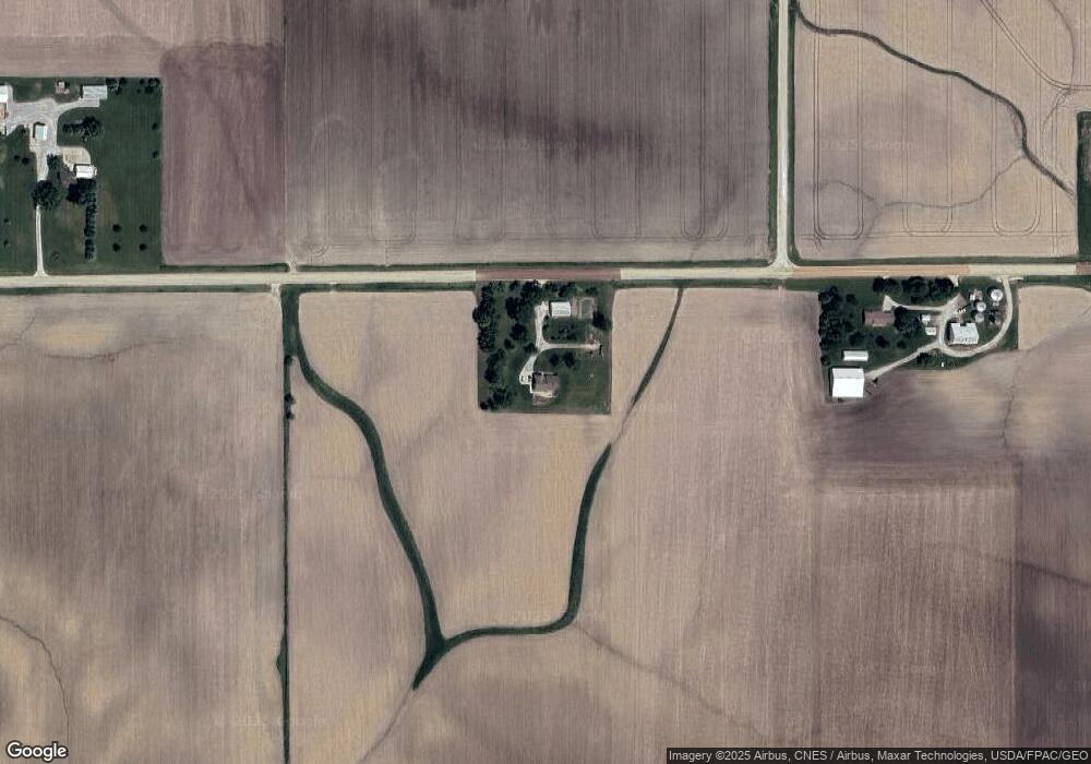
Map
Nearby Homes
- 7936 Utica Ridge Rd
- 0 Elmore Unit MRDQC4238788
- 0 E 56th Unit MRDQC4265946
- 0 E 56th Unit MRDQC4265947
- 0 Elmore Unit Lot 6
- 0 Elmore Unit MRDQC4238786
- 0 Grand Unit MRDQC4265515
- 0 Elmore Unit Lot 3
- 0 Elmore Unit MRDQC4238790
- 0 Elmore Unit MRDQC4238789
- 0 Elmore Unit MRDQC4238787
- 0 Elmore Unit Lot 5
- 0 Elmore Unit MRDQC4238793
- 0 E 56th Unit MRDQC4266016
- 0 Elmore Unit MRDQC4239074
- 20664 N Brady St
- 1713 Katie Ct
- 1709 Katie Ct
- 0 Research Pkwy Unit LOT 1
- 0 Research Pkwy Unit 11
- 19051 220th St
- 18640 220th St
- 22238 190th Ave
- 19216 220th St
- 0 220th Unit 4145336
- 19339 220th St
- 18141 220th St
- 18129 220th St
- 22699 190th Ave
- 18120 217th St
- 22745 190th Ave
- 18070 217th St
- 21665 180th Ave
- 21675 180th Ave
- 21945 180th Ave
- 21885 180th Ave
- 21855 180th Ave
- 21823 180th Ave
- 19757 220th St
- 22185 180th Ave