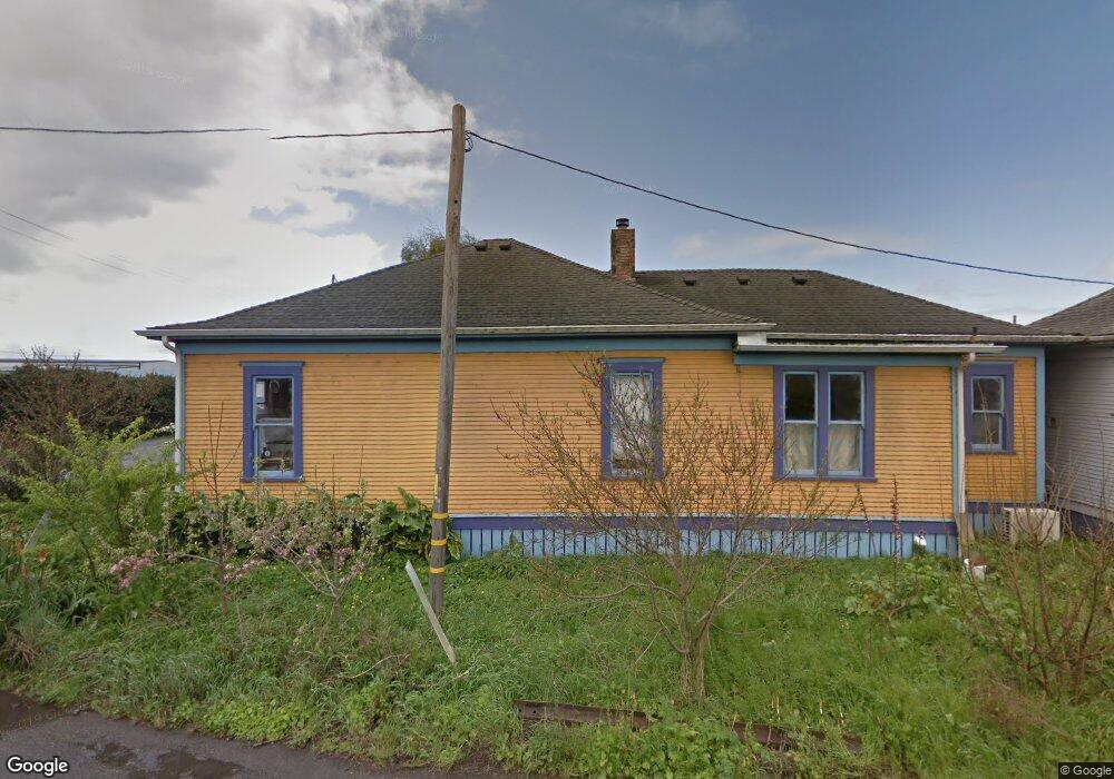
1887 Q St Arcata, CA 95521
Estimated Value: $457,000 - $500,331
3
Beds
1
Bath
1,225
Sq Ft
$396/Sq Ft
Est. Value
About This Home
This home is located at 1887 Q St, Arcata, CA 95521 and is currently estimated at $484,833, approximately $395 per square foot. 1887 Q St is a home located in Humboldt County with nearby schools including Arcata Elementary School, Sunny Brae Middle School, and Arcata High School.
Ownership History
Date
Name
Owned For
Owner Type
Purchase Details
Closed on
Sep 17, 2008
Sold by
Nicole Garoutte Jody
Bought by
Armstrong Sean G and Pec Crouse Shail M
Current Estimated Value
Home Financials for this Owner
Home Financials are based on the most recent Mortgage that was taken out on this home.
Original Mortgage
$270,000
Outstanding Balance
$178,466
Interest Rate
6.39%
Mortgage Type
Purchase Money Mortgage
Estimated Equity
$306,367
Create a Home Valuation Report for This Property
The Home Valuation Report is an in-depth analysis detailing your home's value as well as a comparison with similar homes in the area
Home Values in the Area
Average Home Value in this Area
Purchase History
| Date | Buyer | Sale Price | Title Company |
|---|---|---|---|
| Armstrong Sean G | $300,000 | Humboldt Land Title Company |
Source: Public Records
Mortgage History
| Date | Status | Borrower | Loan Amount |
|---|---|---|---|
| Open | Armstrong Sean G | $270,000 |
Source: Public Records
Tax History Compared to Growth
Tax History
| Year | Tax Paid | Tax Assessment Tax Assessment Total Assessment is a certain percentage of the fair market value that is determined by local assessors to be the total taxable value of land and additions on the property. | Land | Improvement |
|---|---|---|---|---|
| 2025 | $4,420 | $400,620 | $257,543 | $143,077 |
| 2024 | $4,420 | $392,766 | $252,494 | $140,272 |
| 2023 | $4,325 | $385,066 | $247,544 | $137,522 |
| 2022 | $4,407 | $377,517 | $242,691 | $134,826 |
| 2021 | $4,194 | $370,116 | $237,933 | $132,183 |
| 2020 | $4,195 | $366,322 | $235,494 | $130,828 |
| 2019 | $3,916 | $346,313 | $230,877 | $115,436 |
| 2018 | $3,825 | $339,523 | $226,350 | $113,173 |
| 2017 | $3,748 | $332,866 | $221,912 | $110,954 |
| 2016 | $3,654 | $326,340 | $217,561 | $108,779 |
| 2015 | $3,613 | $321,440 | $214,294 | $107,146 |
| 2014 | $3,562 | $315,145 | $210,097 | $105,048 |
Source: Public Records
Map
Nearby Homes
- 2155 Western Ave
- 2565 Todd Ct
- 1254 Mccallum Cir
- 2700 Meadow Creek Way
- 3028 Alliance Rd
- 429 Evergreen Ave
- 356 California Ave
- 1016 F St
- 632 9th St
- 3659 Spear Ave
- 2910 Greenbriar Ln
- 1127 Moxon Ln
- 120 & 120a 13th St
- 119 Sylva St
- 113 Sylva St
- 0 E 16th St Unit 269160
- 000 E 16th St
- 16 & 46 G St
- 1346 Diamond Dr
- 2203 Appaloosa Ln
- 1883 Q St
- 2000 Foster
- 2105 Heather Ln
- 1800 Q St
- 2125 Heather Ln
- 2145 Heather Ln
- 1665 Foster Ave
- 2102 Heather Ln
- 1983 Foster Ave
- 2165 Heather Ln
- 1660 Foster Ave
- 2122 Heather Ln
- 2152 Heather Ln
- 1641 Foster Ave
- 2103 Wisteria Way
- 2115 Wisteria Way
- 2127 Wisteria Way
- 2162 Heather Ln
- 1905 Alliance Rd
- 2139 Wisteria Way