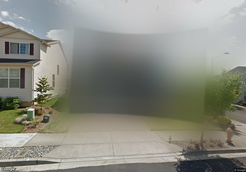
1888 SW 33rd St Gresham, OR 97080
Southwest Gresham NeighborhoodEstimated Value: $520,000 - $549,000
Studio
3
Baths
2,436
Sq Ft
$221/Sq Ft
Est. Value
About This Home
This home is located at 1888 SW 33rd St, Gresham, OR 97080 and is currently estimated at $537,392, approximately $220 per square foot. 1888 SW 33rd St is a home located in Multnomah County with nearby schools including Butler Creek Elementary School, Centennial Middle School, and Centennial High School.
Ownership History
Date
Name
Owned For
Owner Type
Purchase Details
Closed on
Jan 15, 2009
Sold by
Saechao Tone F
Bought by
Saechao Tone F and Chin Tone Liam
Current Estimated Value
Purchase Details
Closed on
Oct 22, 2004
Sold by
Centex Homes
Bought by
Saechao Tone F
Home Financials for this Owner
Home Financials are based on the most recent Mortgage that was taken out on this home.
Original Mortgage
$172,800
Outstanding Balance
$84,808
Interest Rate
5.74%
Mortgage Type
New Conventional
Estimated Equity
$452,584
Create a Home Valuation Report for This Property
The Home Valuation Report is an in-depth analysis detailing your home's value as well as a comparison with similar homes in the area
Home Values in the Area
Average Home Value in this Area
Purchase History
| Date | Buyer | Sale Price | Title Company |
|---|---|---|---|
| Saechao Tone F | -- | Ticor Title | |
| Saechao Tone F | $259,430 | First American Title Insuran |
Source: Public Records
Mortgage History
| Date | Status | Borrower | Loan Amount |
|---|---|---|---|
| Open | Saechao Tone F | $172,800 |
Source: Public Records
Tax History
| Year | Tax Paid | Tax Assessment Tax Assessment Total Assessment is a certain percentage of the fair market value that is determined by local assessors to be the total taxable value of land and additions on the property. | Land | Improvement |
|---|---|---|---|---|
| 2025 | $5,908 | $311,990 | -- | -- |
| 2024 | $5,659 | $302,910 | -- | -- |
| 2023 | $5,095 | $294,090 | $0 | $0 |
| 2022 | $4,907 | $285,530 | $0 | $0 |
| 2021 | $4,925 | $277,220 | $0 | $0 |
| 2020 | $4,535 | $269,150 | $0 | $0 |
| 2019 | $4,424 | $261,320 | $0 | $0 |
| 2018 | $4,243 | $253,710 | $0 | $0 |
| 2017 | $4,102 | $246,330 | $0 | $0 |
| 2016 | $3,981 | $239,160 | $0 | $0 |
Source: Public Records
Map
Nearby Homes
- 3120 SW Orchard Place
- 1320 SW 31st St
- 2160 SW 26th St
- 3506 SW Battaglia Ave
- 3512 SW Battaglia Ave
- 3558 SW Battaglia Ave
- 3536 SW Battaglia Ave
- 3582 SW Battaglia Ave
- 3604 SW Battaglia Ave
- 3644 SW Battaglia Ave
- 3503 SW Battaglia Ave
- 3539 SW Battaglia Ave
- 3650 SW Binford Ave
- 3510 SW Binford Ave
- 3542 SW Binford Ave
- 1278 SW 27th Ct
- 2520 SW Towle Ave
- 4081 SW Binford Ave
- 1441 SW 23rd Ct
- 1261 SW Binford Lake Pkwy
- 1876 SW 33rd St
- 3336 SW Willowbrook Ave
- 1912 SW 33rd St
- 1862 SW 33rd St
- 3394 SW Willowbrook Ave
- 1909 SW 34th St
- 1881 SW 33rd St
- 1897 SW 33rd St
- 1848 SW 33rd St
- 1934 SW 33rd St
- 1873 SW 33rd St
- 1903 SW 33rd St
- 1839 SW 34th Ct
- 1925 SW 34th St
- 1859 SW 33rd St
- 1929 SW 33rd St
- 1958 SW 33rd St
- 3438 SW Willowbrook Ave
- 1847 SW 33rd St
- 1943 SW 34th St
Your Personal Tour Guide
Ask me questions while you tour the home.