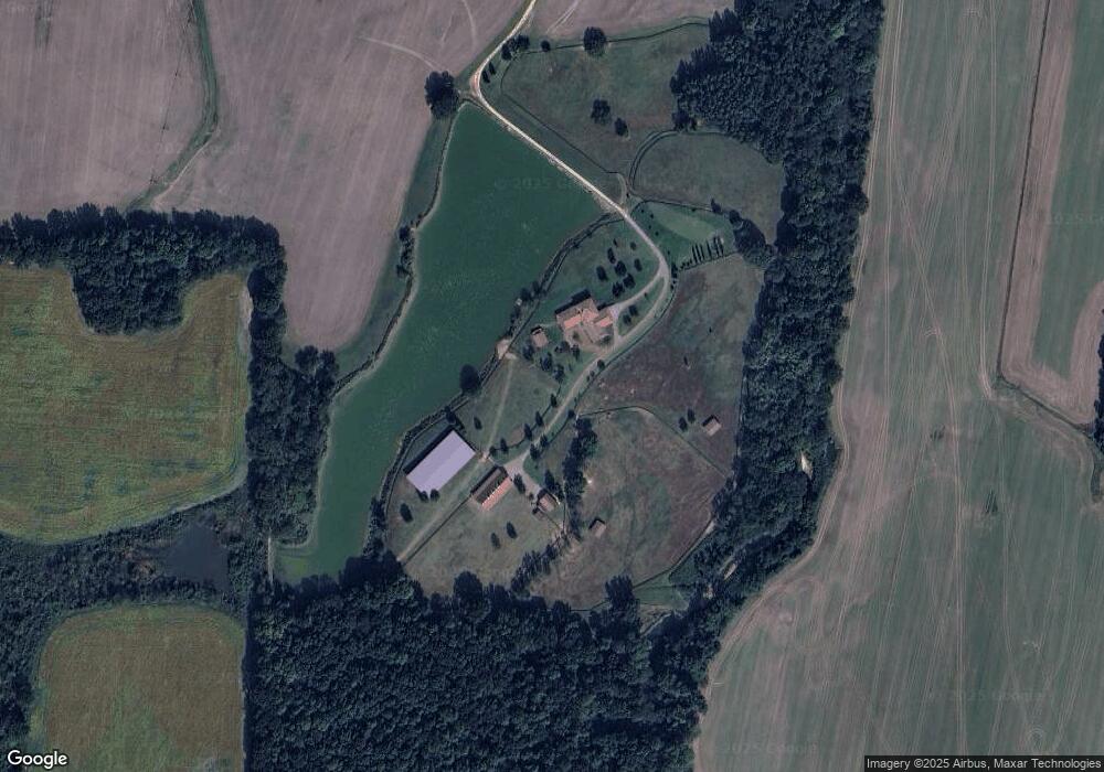
18880 Highway 76 N Somerville, TN 38068
Estimated Value: $262,000 - $2,919,117
--
Bed
8
Baths
9,066
Sq Ft
$175/Sq Ft
Est. Value
About This Home
This home is located at 18880 Highway 76 N, Somerville, TN 38068 and is currently estimated at $1,590,559, approximately $175 per square foot. 18880 Highway 76 N is a home located in Fayette County with nearby schools including Buckley-Carpenter Elementary School, East Junior High School, and Fayette Ware Comprehensive High School.
Ownership History
Date
Name
Owned For
Owner Type
Purchase Details
Closed on
Dec 30, 2010
Bought by
Latitude 35 Land Co Llc
Current Estimated Value
Purchase Details
Closed on
Apr 29, 1985
Bought by
Roland Phara Lee Wells
Purchase Details
Closed on
Feb 19, 1983
Purchase Details
Closed on
Jan 1, 1983
Purchase Details
Closed on
Dec 28, 1982
Purchase Details
Closed on
Jan 1, 1982
Purchase Details
Closed on
Jan 1, 1979
Create a Home Valuation Report for This Property
The Home Valuation Report is an in-depth analysis detailing your home's value as well as a comparison with similar homes in the area
Home Values in the Area
Average Home Value in this Area
Purchase History
| Date | Buyer | Sale Price | Title Company |
|---|---|---|---|
| Latitude 35 Land Co Llc | $2,500,000 | -- | |
| Roland Phara Lee Wells | -- | -- | |
| -- | -- | -- | |
| -- | -- | -- | |
| -- | -- | -- | |
| -- | $893,500 | -- | |
| -- | $893,500 | -- |
Source: Public Records
Tax History Compared to Growth
Tax History
| Year | Tax Paid | Tax Assessment Tax Assessment Total Assessment is a certain percentage of the fair market value that is determined by local assessors to be the total taxable value of land and additions on the property. | Land | Improvement |
|---|---|---|---|---|
| 2024 | $5,664 | $438,575 | $96,375 | $342,200 |
| 2023 | $5,664 | $438,575 | $0 | $0 |
| 2022 | $5,664 | $438,575 | $96,375 | $342,200 |
| 2021 | $8,647 | $438,575 | $96,375 | $342,200 |
| 2020 | $8,512 | $669,500 | $327,300 | $342,200 |
| 2019 | $8,512 | $564,700 | $267,150 | $297,550 |
| 2018 | $8,512 | $564,700 | $267,150 | $297,550 |
| 2017 | $8,490 | $563,200 | $265,650 | $297,550 |
| 2016 | $9,176 | $571,575 | $289,150 | $282,425 |
| 2015 | $9,176 | $571,575 | $289,150 | $282,425 |
| 2014 | $9,176 | $571,575 | $289,150 | $282,425 |
Source: Public Records
Map
Nearby Homes
- 5460 Old Jackson Rd
- 6185 Yum Rd
- 0 Old Jackson Rd Unit 23240554
- 0 Old Jackson Rd Unit 10194522
- 470 Losch Way
- 25115 Hwy 64 Hwy
- 00 Stanton Rd
- 0 Stanton Rd Unit 10130149
- 0 Hwy 64 Hwy Unit 10206371
- 0 Hwy 64 Hwy Unit 18542332
- 0 Britton Rd Unit 10159722
- 0 Hwy 64 Hwy Unit 10158459
- 0 Walls Rd
- 24315 Highway 76 N
- 311 W Market St
- 0 Hwy 76 Hwy Unit 10199229
- 0000 U S Highway 64
- 116 W Marginal St
- 105 Nicholas Dr
- 306 Old Jernigan Rd