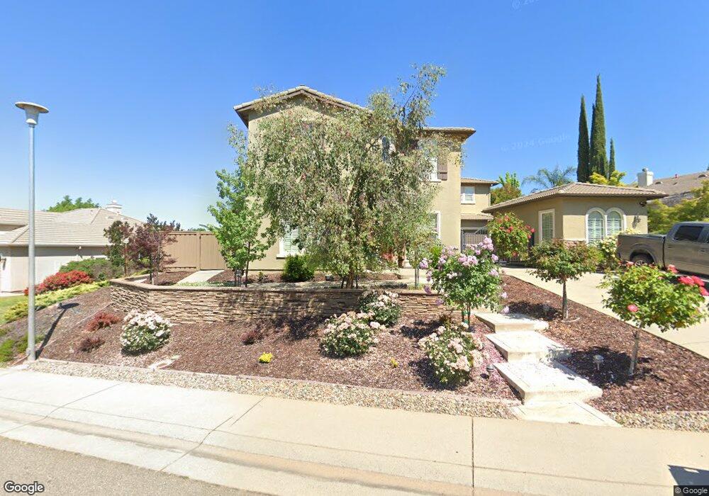
1889 Swinton Dr Folsom, CA 95630
Empire Ranch Village NeighborhoodEstimated Value: $744,000 - $1,244,886
4
Beds
3
Baths
3,499
Sq Ft
$309/Sq Ft
Est. Value
About This Home
This home is located at 1889 Swinton Dr, Folsom, CA 95630 and is currently estimated at $1,080,472, approximately $308 per square foot. 1889 Swinton Dr is a home located in Sacramento County with nearby schools including Empire Oaks Elementary School, Folsom Middle School, and Vista Del Lago High School.
Ownership History
Date
Name
Owned For
Owner Type
Purchase Details
Closed on
Oct 4, 2001
Sold by
D R Horton Inc Sacramento
Bought by
Harville Kevin and Harville Amy
Current Estimated Value
Home Financials for this Owner
Home Financials are based on the most recent Mortgage that was taken out on this home.
Original Mortgage
$368,408
Outstanding Balance
$144,419
Interest Rate
6.91%
Estimated Equity
$936,053
Create a Home Valuation Report for This Property
The Home Valuation Report is an in-depth analysis detailing your home's value as well as a comparison with similar homes in the area
Home Values in the Area
Average Home Value in this Area
Purchase History
| Date | Buyer | Sale Price | Title Company |
|---|---|---|---|
| Harville Kevin | $461,000 | Fidelity National Title Co |
Source: Public Records
Mortgage History
| Date | Status | Borrower | Loan Amount |
|---|---|---|---|
| Open | Harville Kevin | $368,408 | |
| Closed | Harville Kevin | $28,051 |
Source: Public Records
Tax History Compared to Growth
Tax History
| Year | Tax Paid | Tax Assessment Tax Assessment Total Assessment is a certain percentage of the fair market value that is determined by local assessors to be the total taxable value of land and additions on the property. | Land | Improvement |
|---|---|---|---|---|
| 2025 | $9,704 | $718,682 | $103,399 | $615,283 |
| 2024 | $9,704 | $704,591 | $101,372 | $603,219 |
| 2023 | $9,393 | $690,777 | $99,385 | $591,392 |
| 2022 | $9,299 | $677,234 | $97,437 | $579,797 |
| 2021 | $9,217 | $663,956 | $95,527 | $568,429 |
| 2020 | $9,173 | $657,149 | $94,548 | $562,601 |
| 2019 | $9,192 | $644,265 | $92,695 | $551,570 |
| 2018 | $9,015 | $631,633 | $90,878 | $540,755 |
| 2017 | $8,547 | $619,249 | $89,097 | $530,152 |
| 2016 | $8,837 | $607,107 | $87,350 | $519,757 |
| 2015 | $8,610 | $597,988 | $86,038 | $511,950 |
| 2014 | $8,278 | $586,275 | $84,353 | $501,922 |
Source: Public Records
Map
Nearby Homes
- 985 Glennfinnan Way
- 1917 Wesley Dr
- 1076 Callander Way
- 2116 Tarbolton Cir
- 1160 Veranda Ct
- 1120 Clydebank Ln
- 714 Sundahl Dr
- 1164 Brae Ct
- 1046 Smith Way
- 685 Oreno Cir
- 3140 Vista Lefonti
- 1082 Smith Way
- 3115 Vista Lefonti
- 3040 Vista Lefonti
- 745 Grandview Dr
- 3280 Beatty Dr
- 5128 Wild Oak Ln
- 1645 Manasco Cir
- 3226 Beatty Dr
- Plan 3 at Ridgeview
- 1112 Sandwick Way
- 1116 Sandwick Way
- 1108 Sandwick Way
- 1012 Leven Ct
- 1888 Swinton Dr
- 1884 Swinton Dr
- 1104 Sandwick Way
- 1892 Swinton Dr
- 1880 Swinton Dr
- 1873 Swinton Dr
- 1008 Leven Ct
- 1896 Swinton Dr
- 1100 Sandwick Way
- 1876 Swinton Dr
- 1113 Sandwick Way
- 1117 Sandwick Way
- 1109 Sandwick Way
- 1121 Sandwick Way
- 1865 Swinton Dr
- 1105 Sandwick Way