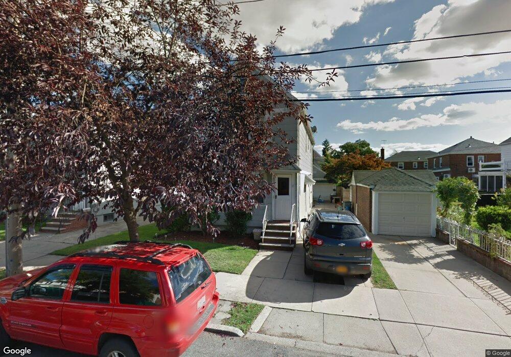
189-14 45th Rd Flushing, NY 11358
Auburndale NeighborhoodEstimated Value: $1,652,000 - $2,583,000
6
Beds
7
Baths
4,000
Sq Ft
$511/Sq Ft
Est. Value
About This Home
This home is located at 189-14 45th Rd, Flushing, NY 11358 and is currently estimated at $2,043,858, approximately $510 per square foot. 189-14 45th Rd is a home located in Queens County with nearby schools including P.S. 107 Thomas A Dooley, I.S. 25 Adrien Block, and Francis Lewis High School.
Ownership History
Date
Name
Owned For
Owner Type
Purchase Details
Closed on
Nov 20, 2017
Sold by
Mendez Robert
Bought by
B K M L Inc
Current Estimated Value
Purchase Details
Closed on
Nov 19, 2004
Sold by
Engelhardt Helen A and Engelhardt Jr, Harry G
Bought by
Mendez Robert
Home Financials for this Owner
Home Financials are based on the most recent Mortgage that was taken out on this home.
Original Mortgage
$444,000
Interest Rate
5.69%
Mortgage Type
Purchase Money Mortgage
Create a Home Valuation Report for This Property
The Home Valuation Report is an in-depth analysis detailing your home's value as well as a comparison with similar homes in the area
Home Values in the Area
Average Home Value in this Area
Purchase History
| Date | Buyer | Sale Price | Title Company |
|---|---|---|---|
| B K M L Inc | $1,030,000 | -- | |
| Mendez Robert | $635,000 | -- |
Source: Public Records
Mortgage History
| Date | Status | Borrower | Loan Amount |
|---|---|---|---|
| Previous Owner | Mendez Robert | $444,000 |
Source: Public Records
Tax History
| Year | Tax Paid | Tax Assessment Tax Assessment Total Assessment is a certain percentage of the fair market value that is determined by local assessors to be the total taxable value of land and additions on the property. | Land | Improvement |
|---|---|---|---|---|
| 2025 | $12,991 | $65,542 | $15,355 | $50,187 |
| 2024 | $12,991 | $64,681 | $14,229 | $50,452 |
| 2023 | $12,612 | $62,099 | $11,529 | $50,570 |
| 2022 | $11,883 | $93,000 | $20,340 | $72,660 |
| 2021 | $12,074 | $87,900 | $20,340 | $67,560 |
| 2020 | $8,646 | $72,660 | $20,340 | $52,320 |
| 2019 | $8,394 | $71,100 | $20,340 | $50,760 |
| 2018 | $7,742 | $37,977 | $13,481 | $24,496 |
| 2017 | $7,304 | $35,830 | $14,977 | $20,853 |
| 2016 | $6,805 | $35,830 | $14,977 | $20,853 |
| 2015 | $4,077 | $34,038 | $15,745 | $18,293 |
| 2014 | $4,077 | $33,440 | $17,317 | $16,123 |
Source: Public Records
Map
Nearby Homes
- 45-32 Utopia Pkwy
- 4539 192nd St
- 45-47 193rd St
- 188-02 Northern Blvd
- 4604 195th St
- 45-31 195th St
- 43-44 195th St
- 42-25 189th St
- 171-06 Bagley Ave
- 42-28 189th St
- 4552 196th St
- 47-18 190th St
- 4719 192nd St
- 43-28 196th St
- 45-66 196th Place
- 4564 170th St
- 190-17 42nd Ave
- 47-55 194th St
- 47-49 194th St
- 19005 48th Ave
Your Personal Tour Guide
Ask me questions while you tour the home.