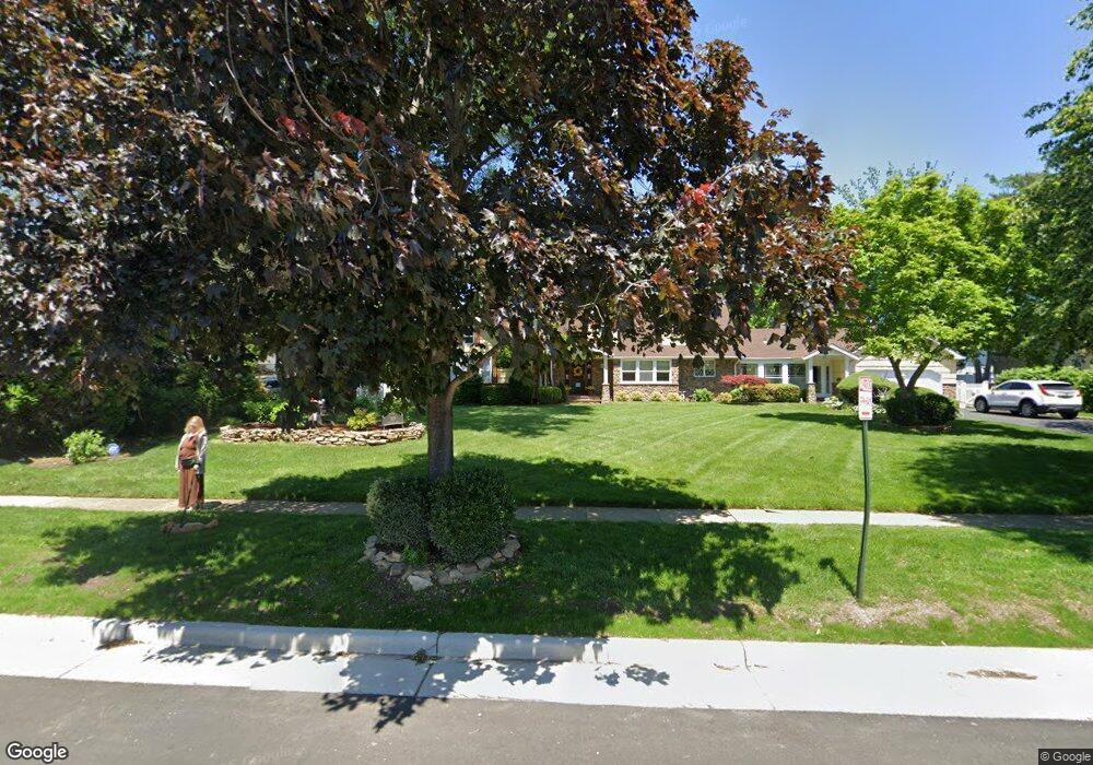
189 Atlantic Ave Hempstead, NY 11550
Estimated Value: $847,000 - $1,061,944
Studio
3
Baths
2,888
Sq Ft
$330/Sq Ft
Est. Value
About This Home
This home is located at 189 Atlantic Ave, Hempstead, NY 11550 and is currently estimated at $954,472, approximately $330 per square foot. 189 Atlantic Ave is a home located in Nassau County with nearby schools including The Academy Charter School, St Joseph Elementary School, and Crescent School.
Ownership History
Date
Name
Owned For
Owner Type
Purchase Details
Closed on
Dec 19, 2012
Sold by
Danza Rosemarie
Bought by
Danza Anthony
Current Estimated Value
Purchase Details
Closed on
Apr 10, 2006
Sold by
Mollah Eric
Bought by
Danza Rosemarie
Purchase Details
Closed on
Jan 30, 2006
Sold by
Scheider Joan
Bought by
Mollah Alaine
Purchase Details
Closed on
May 20, 2005
Sold by
Schneider Joan
Create a Home Valuation Report for This Property
The Home Valuation Report is an in-depth analysis detailing your home's value as well as a comparison with similar homes in the area
Home Values in the Area
Average Home Value in this Area
Purchase History
| Date | Buyer | Sale Price | Title Company |
|---|---|---|---|
| Danza Anthony | -- | -- | |
| Danza Anthony | -- | -- | |
| Danza Anthony | -- | -- | |
| Danza Rosemarie | $600,000 | -- | |
| Danza Rosemarie | $600,000 | -- | |
| Mollah Alaine | $675,000 | -- | |
| Mollah Alaine | $675,000 | -- | |
| -- | -- | -- | |
| -- | -- | -- |
Source: Public Records
Tax History
| Year | Tax Paid | Tax Assessment Tax Assessment Total Assessment is a certain percentage of the fair market value that is determined by local assessors to be the total taxable value of land and additions on the property. | Land | Improvement |
|---|---|---|---|---|
| 2025 | $15,354 | $605 | $385 | $220 |
| 2024 | $1,561 | $616 | $392 | $224 |
Source: Public Records
Map
Nearby Homes
- 200 Hilton Ave Unit 66
- 20 Wendell St Unit A16
- 20 Wendell St Unit 18A
- 144 Hilton Ave
- 12 Hamilton Place Unit B5
- 12 Hamilton Place Unit B6
- 26 Hamilton Place Unit A-2
- 24 Hamilton Place Unit F-1
- 127 2nd St Unit D1
- 35 Mulford Place
- 36 Hamilton Place Unit 3-J
- 91 Bedell Ave
- 24 Mulford Place Unit 4B
- 24 Mulford Place Unit 6A
- 22 Mulford Place Unit 5C
- 22 Mulford Place Unit 2D
- 67 3rd St
- 32 Cathedral Ave Unit 6c
- 248 Main St
- 8 3rd Place
- 179 Atlantic Ave
- 199 Atlantic Ave
- 217 Hilton Ave
- 225 Hilton Ave
- 215 Atlantic Ave
- 235 Hilton Ave
- 192 Atlantic Ave
- 192 Atlantic Ave Unit 2
- 7 Garden Place
- 12 Barnes Ln
- 206 Atlantic Ave
- 2 Barnes Ln
- 8 Barnes Ln
- 16 Barnes Ln
- 200 Hilton Ave Unit 19
- 200 Hilton Ave
- 200 Hilton Ave
- 200 Hilton Ave
- 200 Hilton Ave
- 200 Hilton Ave
Your Personal Tour Guide
Ask me questions while you tour the home.