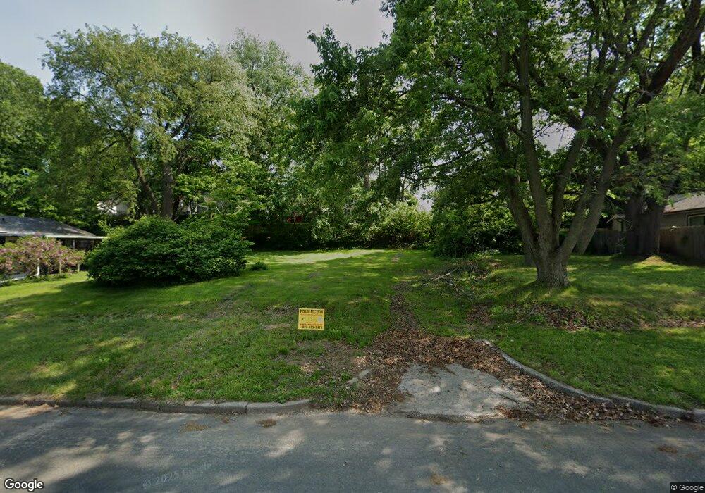
189 Burr St Battle Creek, MI 49015
Central Battle Creek NeighborhoodEstimated Value: $27,000 - $491,000
4
Beds
2
Baths
1,309
Sq Ft
$167/Sq Ft
Est. Value
About This Home
This home is located at 189 Burr St, Battle Creek, MI 49015 and is currently estimated at $219,000, approximately $167 per square foot. 189 Burr St is a home located in Calhoun County with nearby schools including Ann J. Kellogg School, Springfield Middle School, and Battle Creek Central High School.
Ownership History
Date
Name
Owned For
Owner Type
Purchase Details
Closed on
Nov 22, 2024
Sold by
Brian Wensatter
Bought by
Calhoun County Land Bank Authority
Current Estimated Value
Purchase Details
Closed on
Mar 16, 2021
Sold by
Brininstool Velma I and Brininstool Vaughn W
Bought by
Brininstool Velma I and Powell Larry A
Purchase Details
Closed on
Jul 26, 2019
Sold by
Powell Larry A and Brininstool Velma I
Bought by
Brininstool Stephen W
Create a Home Valuation Report for This Property
The Home Valuation Report is an in-depth analysis detailing your home's value as well as a comparison with similar homes in the area
Home Values in the Area
Average Home Value in this Area
Purchase History
| Date | Buyer | Sale Price | Title Company |
|---|---|---|---|
| Calhoun County Land Bank Authority | $500 | None Listed On Document | |
| Brininstool Velma I | -- | None Available | |
| Brininstool Velma I | -- | None Available | |
| Brininstool Stephen W | -- | None Available | |
| Brininstool Stephen W | -- | None Listed On Document |
Source: Public Records
Tax History Compared to Growth
Tax History
| Year | Tax Paid | Tax Assessment Tax Assessment Total Assessment is a certain percentage of the fair market value that is determined by local assessors to be the total taxable value of land and additions on the property. | Land | Improvement |
|---|---|---|---|---|
| 2025 | -- | $0 | $0 | $0 |
| 2024 | $1,221 | $53,045 | $0 | $0 |
| 2023 | $1,553 | $43,018 | $0 | $0 |
| 2022 | $1,103 | $35,623 | $0 | $0 |
| 2021 | $1,476 | $31,418 | $0 | $0 |
| 2020 | $1,390 | $29,128 | $0 | $0 |
| 2019 | $1,390 | $26,935 | $0 | $0 |
| 2018 | $1,390 | $25,473 | $3,081 | $22,392 |
| 2017 | $1,029 | $21,050 | $0 | $0 |
| 2016 | $1,043 | $23,599 | $0 | $0 |
| 2015 | $1,021 | $23,126 | $5,240 | $17,886 |
| 2014 | $1,021 | $22,166 | $5,240 | $16,926 |
Source: Public Records
Map
Nearby Homes
- 236 Burnham St W
- 349 Goguac St W
- 256 Burr St
- 324 Goguac St W
- 9 Foster Ave
- 267 Eldred St
- 387 Goguac St W
- 178 Webber St
- 100 Eldred St
- 19 Ridge St
- 111 Burnham St W
- 212 Goguac St W
- 133 Harris St
- 296 Meachem Ave
- 71 Burnham St W
- 210 Battle Creek Ave
- 39 Harris St
- 171 Goguac St W
- 64 E Grand Circle Ave
- 184 Territorial Rd W
- 181 Burr St
- 197 Burr St
- 177 Burr St
- 224 Burnham St W
- 220 Burnham St W
- 228 Burnham St W
- 173 Burr St
- 216 Burnham St W
- 232 Burnham St W
- 234 Burnham St W
- 210 Burnham St W
- 210 W Burnham St
- 205 Burr St
- 209 Burr St
- 242 Burnham St W
- 244 Burnham St W
- 0 W Burnham St
- 221 Burnham St W
- 225 Burnham St W
- 217 Burnham St W