189 Cabbage Patch Ln Unit 1 Mountain City, TN 37683
Estimated Value: $254,000 - $282,000
2
Beds
2
Baths
3,000
Sq Ft
$90/Sq Ft
Est. Value
About This Home
This home is located at 189 Cabbage Patch Ln Unit 1, Mountain City, TN 37683 and is currently estimated at $270,350, approximately $90 per square foot. 189 Cabbage Patch Ln Unit 1 is a home located in Johnson County with nearby schools including Johnson County Middle School and Johnson County High School.
Ownership History
Date
Name
Owned For
Owner Type
Purchase Details
Closed on
Feb 26, 2025
Sold by
Sala Arlen J and Sala Austin James
Bought by
Brown John
Current Estimated Value
Home Financials for this Owner
Home Financials are based on the most recent Mortgage that was taken out on this home.
Original Mortgage
$253,400
Outstanding Balance
$251,501
Interest Rate
7.04%
Mortgage Type
VA
Estimated Equity
$18,849
Purchase Details
Closed on
Aug 21, 2023
Sold by
Sala Sharon Renee
Bought by
Sala Austin James and Powell Shania Nicole
Purchase Details
Closed on
Aug 10, 2007
Bought by
Sala Arlen J and Sala Sharon G
Home Financials for this Owner
Home Financials are based on the most recent Mortgage that was taken out on this home.
Original Mortgage
$180,000
Interest Rate
6.65%
Mortgage Type
Cash
Purchase Details
Closed on
Apr 21, 2006
Bought by
Humphrey Melvin and Humphrey Debbie
Create a Home Valuation Report for This Property
The Home Valuation Report is an in-depth analysis detailing your home's value as well as a comparison with similar homes in the area
Purchase History
| Date | Buyer | Sale Price | Title Company |
|---|---|---|---|
| Brown John | $253,400 | None Listed On Document | |
| Sala Austin James | -- | None Listed On Document | |
| Sala Arlen J | $180,000 | -- | |
| Humphrey Melvin | $54,000 | -- |
Source: Public Records
Mortgage History
| Date | Status | Borrower | Loan Amount |
|---|---|---|---|
| Open | Brown John | $253,400 | |
| Previous Owner | Humphrey Melvin | $180,000 |
Source: Public Records
Tax History
| Year | Tax Paid | Tax Assessment Tax Assessment Total Assessment is a certain percentage of the fair market value that is determined by local assessors to be the total taxable value of land and additions on the property. | Land | Improvement |
|---|---|---|---|---|
| 2025 | $745 | $33,725 | $6,600 | $27,125 |
| 2024 | $745 | $33,700 | $6,600 | $27,100 |
| 2023 | $745 | $33,700 | $6,600 | $27,100 |
| 2022 | $610 | $33,700 | $6,600 | $27,100 |
| 2021 | $610 | $33,700 | $6,600 | $27,100 |
| 2020 | $624 | $33,700 | $6,600 | $27,100 |
| 2019 | $624 | $30,425 | $6,600 | $23,825 |
| 2018 | $624 | $30,425 | $6,600 | $23,825 |
| 2017 | $624 | $30,425 | $6,600 | $23,825 |
| 2016 | $624 | $30,425 | $6,600 | $23,825 |
| 2015 | $551 | $30,425 | $6,600 | $23,825 |
| 2014 | $521 | $28,775 | $6,600 | $22,175 |
Source: Public Records
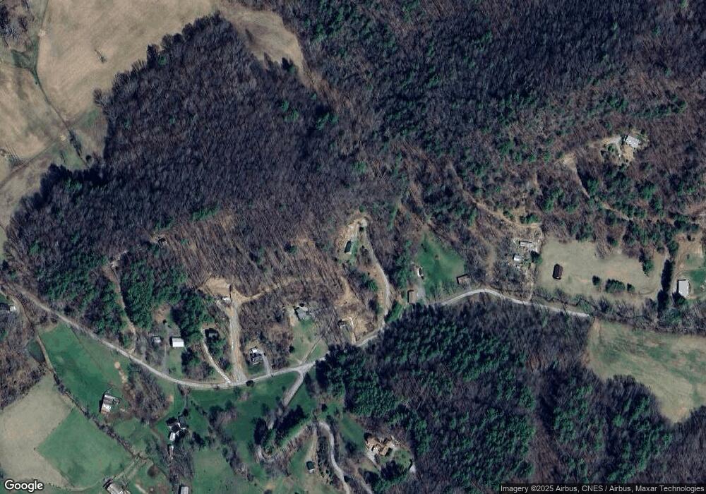
Map
Nearby Homes
- 000 Tbd Noah Snyder Rd
- Tbd 000 Dug Hill Rd
- 100 Gate Hollow Rd
- Tbd Crackers Neck Rd
- Tbd 000 Blackberry Hill Ln
- TBD Mining Ridge Rd
- 4020 Roan Creek Rd Unit 1
- 4020 Roan Creek Rd
- 1945 Sage Valley Cir
- 2734 Crackers Neck Rd
- TBD Fire Tower Rd
- 333 Industrial Dr
- 372 Jackson Ln
- 00 Slimp Branch Rd
- 2558 S Shady St
- TBD Laurel Rd
- 2431 S Shady St
- Tbd Stout Branch Rd
- 542 Rainbow Rd
- 262 Stout Branch Rd
- 189 Cabbage Patch Ln
- 225 Cabbage Patch Ln
- 225 Cabbage Patch Ln
- 223 Cabbage Patch Ln
- 223 Cabbage Patch Ln
- 221 Cabbage Patch Ln
- 221 Cabbage Patch Ln
- 663 Noah Snyder Rd
- Tbd Noah Snyder Rd
- 000 Cabbage Patch Ln
- 665 Noah Snyder Rd
- 315 Cabbage Patch Ln
- 595 Noah Snyder Rd
- 901 Noah Snyder Rd
- 533 Noah Snyder Rd
- 499 Noah Snyder Rd
- 00 Noah Snyder Rd
- 0 Noah Snyder Rd
- 000 Noah Snyder Rd
- 521 Noah Snyder Rd
Your Personal Tour Guide
Ask me questions while you tour the home.