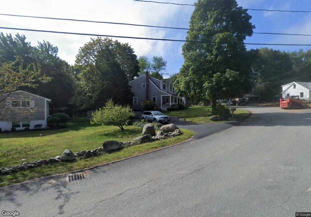
189 Captain Pierce Rd Scituate, MA 02066
Estimated Value: $921,000 - $1,068,000
3
Beds
2
Baths
1,908
Sq Ft
$508/Sq Ft
Est. Value
About This Home
This home is located at 189 Captain Pierce Rd, Scituate, MA 02066 and is currently estimated at $968,805, approximately $507 per square foot. 189 Captain Pierce Rd is a home located in Plymouth County with nearby schools including Cushing Elementary School, Lester J. Gates Middle School, and Scituate High School.
Ownership History
Date
Name
Owned For
Owner Type
Purchase Details
Closed on
Aug 29, 2002
Sold by
Hamel Robert R and Hamel Eileen M
Bought by
Waltman Andrew C
Current Estimated Value
Purchase Details
Closed on
Dec 15, 1997
Sold by
Monaco Michael J and Monaco Elizabeth L
Bought by
Hamel 1Robert R and Hamel Eileen M
Purchase Details
Closed on
Jan 8, 1992
Sold by
Turner Sally A
Bought by
Monaco Michael J and Monaco Elizabeth L
Create a Home Valuation Report for This Property
The Home Valuation Report is an in-depth analysis detailing your home's value as well as a comparison with similar homes in the area
Home Values in the Area
Average Home Value in this Area
Purchase History
| Date | Buyer | Sale Price | Title Company |
|---|---|---|---|
| Waltman Andrew C | $445,000 | -- | |
| Hamel 1Robert R | $154,000 | -- | |
| Monaco Michael J | $122,000 | -- |
Source: Public Records
Mortgage History
| Date | Status | Borrower | Loan Amount |
|---|---|---|---|
| Open | Monaco Michael J | $376,000 | |
| Closed | Monaco Michael J | $380,000 |
Source: Public Records
Tax History
| Year | Tax Paid | Tax Assessment Tax Assessment Total Assessment is a certain percentage of the fair market value that is determined by local assessors to be the total taxable value of land and additions on the property. | Land | Improvement |
|---|---|---|---|---|
| 2025 | $7,495 | $750,300 | $368,300 | $382,000 |
| 2024 | $7,350 | $709,500 | $334,800 | $374,700 |
| 2023 | $7,313 | $668,500 | $321,300 | $347,200 |
| 2022 | $7,313 | $579,500 | $288,300 | $291,200 |
| 2021 | $7,128 | $534,700 | $274,600 | $260,100 |
| 2020 | $6,911 | $511,900 | $264,000 | $247,900 |
| 2019 | $6,770 | $492,700 | $258,800 | $233,900 |
| 2018 | $6,600 | $473,100 | $260,000 | $213,100 |
| 2017 | $6,394 | $453,800 | $249,100 | $204,700 |
| 2016 | $6,111 | $432,200 | $227,500 | $204,700 |
| 2015 | $5,519 | $421,300 | $216,600 | $204,700 |
Source: Public Records
Map
Nearby Homes
- 67 Pratt Rd
- 629 Country Way
- 49 Whittier Dr
- 701 Country Way
- 59 Captain Peirce Rd
- 11 Forest Ln
- 9 Forest Ln Unit 9
- 54 Woodland Rd
- 7 3 Ring Rd
- 26 Mordecai Lincoln Rd
- 537 First Parish Rd
- 74 Branch St Unit 15
- 327 Country Way
- 430 Hatherly Rd
- 430 Hatherly Rd Unit Exhibit “A”
- 430 Hatherly Rd Unit Exhibit “B”
- 817 Country Way
- 627 First Parish Rd
- 20 Lawson Rd
- 49 Jackson Rd
- 187 Captain Pierce Rd
- 190 Captain Pierce Rd
- 196 Captain Pierce Rd
- 191 Captain Peirce Rd
- 50 Hatchet Rock Rd
- 184 Captain Pierce Rd
- 179 Captain Peirce Rd
- 179 Captain Pierce Rd
- 180 Captain Pierce Rd
- 201 Captain Peirce Rd
- 201 Captain Peirce Rd
- 8 Louise Ln
- 44 Hatchet Rock Rd
- 175 Captain Pierce Rd
- 203 Captain Peirce Rd
- 73 Pratt Rd
- 61 Pratt Rd
- 204 Captain Peirce Rd
- 57 Pratt Rd
- 12 Louise Ln
Your Personal Tour Guide
Ask me questions while you tour the home.