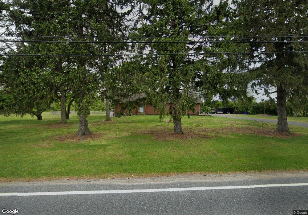
189 Cedar Rd Mickleton, NJ 08056
Estimated Value: $342,365 - $546,000
Studio
--
Bath
1,352
Sq Ft
$348/Sq Ft
Est. Value
About This Home
This home is located at 189 Cedar Rd, Mickleton, NJ 08056 and is currently estimated at $470,341, approximately $347 per square foot. 189 Cedar Rd is a home with nearby schools including Jeffrey Clark School, Samuel Mickle School, and Kingsway Regional Middle School.
Ownership History
Date
Name
Owned For
Owner Type
Purchase Details
Closed on
Sep 21, 2018
Sold by
Hoskins Robert and Hoskins Kelly Ann
Bought by
Walton Nicholas A and Walton Amber L
Current Estimated Value
Purchase Details
Closed on
Nov 16, 2015
Sold by
Leitner Alice G and Vogt Jeanne Louise
Bought by
Hoskins Robert
Purchase Details
Closed on
Mar 7, 2002
Sold by
Glass John R
Bought by
Glass John R and Glass Alice G Leitner
Purchase Details
Closed on
Apr 3, 2001
Sold by
Glass John R
Bought by
Glass John R
Create a Home Valuation Report for This Property
The Home Valuation Report is an in-depth analysis detailing your home's value as well as a comparison with similar homes in the area
Home Values in the Area
Average Home Value in this Area
Purchase History
| Date | Buyer | Sale Price | Title Company |
|---|---|---|---|
| Walton Nicholas A | $263,000 | Foundation Title Llc | |
| Hoskins Robert | $188,000 | Attorney | |
| Glass John R | -- | -- | |
| Glass John R | -- | -- |
Source: Public Records
Tax History
| Year | Tax Paid | Tax Assessment Tax Assessment Total Assessment is a certain percentage of the fair market value that is determined by local assessors to be the total taxable value of land and additions on the property. | Land | Improvement |
|---|---|---|---|---|
| 2025 | $7,528 | $236,800 | $120,600 | $116,200 |
| 2024 | $7,528 | $236,800 | $120,600 | $116,200 |
| 2023 | $7,289 | $236,800 | $120,600 | $116,200 |
| 2022 | $7,083 | $236,800 | $120,600 | $116,200 |
| 2021 | $7,130 | $236,800 | $120,600 | $116,200 |
| 2020 | $7,163 | $236,800 | $120,600 | $116,200 |
| 2019 | $7,090 | $236,800 | $120,600 | $116,200 |
| 2018 | $7,540 | $228,700 | $106,300 | $122,400 |
| 2017 | $7,442 | $228,700 | $106,300 | $122,400 |
| 2016 | $7,355 | $228,700 | $106,300 | $122,400 |
| 2015 | $7,156 | $232,200 | $109,800 | $122,400 |
| 2014 | $6,715 | $232,200 | $109,800 | $122,400 |
Source: Public Records
Map
Nearby Homes
- 253 Jennings Way
- L13 N Bridgeton Pike
- 231 N Main St
- 253 Jessups Mill Rd
- 0 Jessups Mill Rd
- 446 Heritage Rd
- 325 Windsor Rd
- 642 Bainbridge Dr
- 18 Millwood Dr
- 552 Hereford Ln
- 326 Stonehouse Ln
- 607 Apple Dr
- 67 E Rattling Run Rd
- 41 Redkist Dr
- 32 Redkist Dr
- 34 Redkist Dr
- 30 Redkist Dr
- 28 Redkist Dr
- 26 Redkist Dr
- 53 Redkist Dr
Your Personal Tour Guide
Ask me questions while you tour the home.