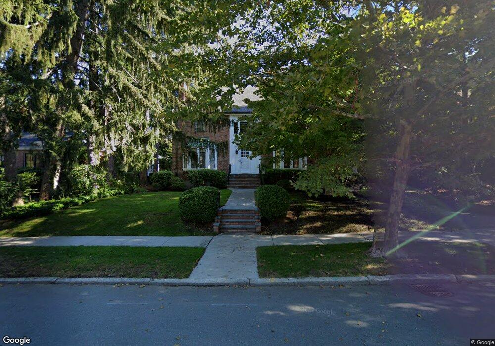
189 Eliot St Chestnut Hill, MA 02467
Chestnut Hill NeighborhoodEstimated Value: $2,816,000 - $3,251,000
4
Beds
3
Baths
2,748
Sq Ft
$1,100/Sq Ft
Est. Value
About This Home
This home is located at 189 Eliot St, Chestnut Hill, MA 02467 and is currently estimated at $3,023,385, approximately $1,100 per square foot. 189 Eliot St is a home located in Norfolk County with nearby schools including Heath Elementary School, Brookline High School, and Brimmer & May School.
Ownership History
Date
Name
Owned For
Owner Type
Purchase Details
Closed on
Aug 2, 1989
Sold by
Bloom Irma P
Bought by
Shuman Melvin R
Current Estimated Value
Create a Home Valuation Report for This Property
The Home Valuation Report is an in-depth analysis detailing your home's value as well as a comparison with similar homes in the area
Home Values in the Area
Average Home Value in this Area
Purchase History
| Date | Buyer | Sale Price | Title Company |
|---|---|---|---|
| Shuman Melvin R | $547,500 | -- |
Source: Public Records
Mortgage History
| Date | Status | Borrower | Loan Amount |
|---|---|---|---|
| Open | Shuman Melvin R | $333,700 | |
| Closed | Shuman Melvin R | $410,000 | |
| Closed | Shuman Melvin R | $424,000 | |
| Closed | Shuman Melvin R | $425,000 |
Source: Public Records
Tax History Compared to Growth
Tax History
| Year | Tax Paid | Tax Assessment Tax Assessment Total Assessment is a certain percentage of the fair market value that is determined by local assessors to be the total taxable value of land and additions on the property. | Land | Improvement |
|---|---|---|---|---|
| 2025 | $27,138 | $2,749,500 | $1,432,600 | $1,316,900 |
| 2024 | $25,891 | $2,650,100 | $1,377,500 | $1,272,600 |
| 2023 | $21,971 | $2,203,700 | $984,200 | $1,219,500 |
| 2022 | $21,386 | $2,098,700 | $937,200 | $1,161,500 |
| 2021 | $19,776 | $2,018,000 | $901,200 | $1,116,800 |
| 2020 | $18,157 | $1,921,400 | $819,300 | $1,102,100 |
| 2019 | $17,146 | $1,829,900 | $780,300 | $1,049,600 |
| 2018 | $17,056 | $1,803,000 | $786,000 | $1,017,000 |
| 2017 | $16,806 | $1,701,000 | $741,600 | $959,400 |
| 2016 | $16,565 | $1,589,700 | $693,000 | $896,700 |
| 2015 | $15,867 | $1,485,700 | $647,700 | $838,000 |
| 2014 | $16,472 | $1,446,200 | $588,900 | $857,300 |
Source: Public Records
Map
Nearby Homes
- 59 Ackers Ave Unit 1
- 30 Ackers Ave
- 540 Chestnut Hill Ave
- 2400 Beacon St Unit 112
- 641 Chestnut Hill Ave
- 9 Willard Rd
- 55 Reservoir Rd Unit 2
- 174 Middlesex Rd
- 2 Sutherland Rd Unit 35
- 6 Sutherland Rd Unit 41
- 44 Orkney Rd Unit 3
- 40 Orkney Rd Unit 1
- 17 Strathmore Rd Unit 2
- 41 Orkney Rd
- 120 Cabot St
- 1014 Boylston St
- 8 Strathmore Rd Unit G
- 1898 Beacon St Unit 4
- 31 Orkney Rd Unit 54
- 130 Cabot St