189 Graham Ridge Rd Naugatuck, CT 06770
Estimated Value: $523,000 - $598,000
4
Beds
3
Baths
2,734
Sq Ft
$204/Sq Ft
Est. Value
About This Home
This home is located at 189 Graham Ridge Rd, Naugatuck, CT 06770 and is currently estimated at $557,142, approximately $203 per square foot. 189 Graham Ridge Rd is a home located in New Haven County with nearby schools including City Hill Middle School and Naugatuck High School.
Ownership History
Date
Name
Owned For
Owner Type
Purchase Details
Closed on
Apr 17, 2003
Sold by
Real Rock Assoc Llc
Bought by
Gambacini Craig W and Gambacini Michelle
Current Estimated Value
Home Financials for this Owner
Home Financials are based on the most recent Mortgage that was taken out on this home.
Original Mortgage
$90,000
Interest Rate
5.75%
Mortgage Type
Purchase Money Mortgage
Create a Home Valuation Report for This Property
The Home Valuation Report is an in-depth analysis detailing your home's value as well as a comparison with similar homes in the area
Home Values in the Area
Average Home Value in this Area
Purchase History
| Date | Buyer | Sale Price | Title Company |
|---|---|---|---|
| Gambacini Craig W | $110,000 | -- |
Source: Public Records
Mortgage History
| Date | Status | Borrower | Loan Amount |
|---|---|---|---|
| Open | Gambacini Craig W | $42,000 | |
| Open | Gambacini Craig W | $300,000 | |
| Closed | Gambacini Craig W | $90,000 |
Source: Public Records
Tax History Compared to Growth
Tax History
| Year | Tax Paid | Tax Assessment Tax Assessment Total Assessment is a certain percentage of the fair market value that is determined by local assessors to be the total taxable value of land and additions on the property. | Land | Improvement |
|---|---|---|---|---|
| 2025 | $12,080 | $303,590 | $41,860 | $261,730 |
| 2024 | $12,687 | $303,590 | $41,860 | $261,730 |
| 2023 | $13,586 | $303,590 | $41,860 | $261,730 |
| 2022 | $11,199 | $234,540 | $44,340 | $190,200 |
| 2021 | $11,199 | $234,540 | $44,340 | $190,200 |
| 2020 | $11,199 | $234,540 | $44,340 | $190,200 |
| 2019 | $11,082 | $234,540 | $44,340 | $190,200 |
| 2018 | $11,666 | $241,280 | $67,390 | $173,890 |
| 2017 | $11,714 | $241,280 | $67,390 | $173,890 |
| 2016 | $11,502 | $241,280 | $67,390 | $173,890 |
| 2015 | $10,995 | $241,280 | $67,390 | $173,890 |
| 2014 | $10,872 | $241,280 | $67,390 | $173,890 |
| 2012 | $10,922 | $325,530 | $76,720 | $248,810 |
Source: Public Records
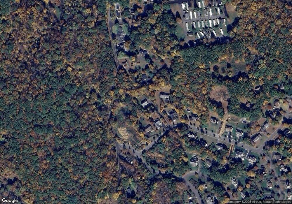
Map
Nearby Homes
- 0 Westover Dr
- 0 Evelyn Dr Unit 24124911
- 243 Stonefence Rd
- 117 Stonefence Rd
- 587 Shadduck Rd
- 35 Crofut Rd
- 75 Allerton Rd
- 383 Leonard Rd
- 739 Field St
- 31 Pilgrim Ln
- 96 Round Hill Rd
- 151 Timothy Rd
- 627 Millville Ave Unit 9-8
- 671 Rubber Ave
- 28 Tower Ln
- 92 Birch Ln
- 19 Casper Ct
- 440 Lake Shore Dr
- 49 Damson Ln
- 146 Coach Cir Unit 5
- 0 Bosco Dr Unit B10047299
- 0 Bosco Dr
- 101 Krodel Rd
- 195 Graham Ridge Rd
- 91 Krodel Rd
- 183 Graham Ridge Rd
- 201 Graham Ridge Rd
- 177 Graham Ridge Rd
- Lot 16 Krodel Rd
- 2 Bosco Dr
- 119 Krodel Rd
- 171 Graham Ridge Rd
- 1 Bosco Dr
- 168 Graham Ridge Rd
- 64 Westover Dr
- 145 Krodel Rd
- 0 Krodel Rd
- 11 Dunican Ave
- 157 Graham Ridge Rd
- 6 Graham Ridge Rd