189 Hastings Landing Rd New London, NH 03257
Estimated Value: $644,000 - $4,520,000
3
Beds
2
Baths
1,971
Sq Ft
$852/Sq Ft
Est. Value
About This Home
This home is located at 189 Hastings Landing Rd, New London, NH 03257 and is currently estimated at $1,679,418, approximately $852 per square foot. 189 Hastings Landing Rd is a home with nearby schools including Kearsarge Elementary School - New London, Kearsarge Regional Middle School, and Kearsarge Regional High School.
Ownership History
Date
Name
Owned For
Owner Type
Purchase Details
Closed on
Oct 21, 2009
Sold by
Chase Barbara S
Bought by
Menfillo Jane L
Current Estimated Value
Home Financials for this Owner
Home Financials are based on the most recent Mortgage that was taken out on this home.
Original Mortgage
$1,425,000
Outstanding Balance
$930,978
Interest Rate
5.09%
Mortgage Type
Purchase Money Mortgage
Estimated Equity
$748,440
Create a Home Valuation Report for This Property
The Home Valuation Report is an in-depth analysis detailing your home's value as well as a comparison with similar homes in the area
Home Values in the Area
Average Home Value in this Area
Purchase History
| Date | Buyer | Sale Price | Title Company |
|---|---|---|---|
| Menfillo Jane L | $1,891,000 | -- |
Source: Public Records
Mortgage History
| Date | Status | Borrower | Loan Amount |
|---|---|---|---|
| Open | Menfillo Jane L | $1,425,000 |
Source: Public Records
Tax History Compared to Growth
Tax History
| Year | Tax Paid | Tax Assessment Tax Assessment Total Assessment is a certain percentage of the fair market value that is determined by local assessors to be the total taxable value of land and additions on the property. | Land | Improvement |
|---|---|---|---|---|
| 2024 | $5,749 | $495,200 | $268,700 | $226,500 |
| 2023 | $5,353 | $495,200 | $268,700 | $226,500 |
| 2022 | $4,842 | $305,300 | $151,300 | $154,000 |
| 2021 | $4,699 | $305,300 | $151,300 | $154,000 |
| 2020 | $4,539 | $303,800 | $151,300 | $152,500 |
| 2019 | $4,469 | $303,800 | $151,300 | $152,500 |
| 2018 | $4,628 | $294,600 | $139,700 | $154,900 |
| 2017 | $4,717 | $294,600 | $139,700 | $154,900 |
| 2016 | $4,616 | $294,600 | $139,700 | $154,900 |
| 2015 | $4,552 | $294,600 | $139,700 | $154,900 |
| 2014 | $4,510 | $294,600 | $139,700 | $154,900 |
| 2013 | $4,601 | $305,700 | $139,700 | $166,000 |
Source: Public Records
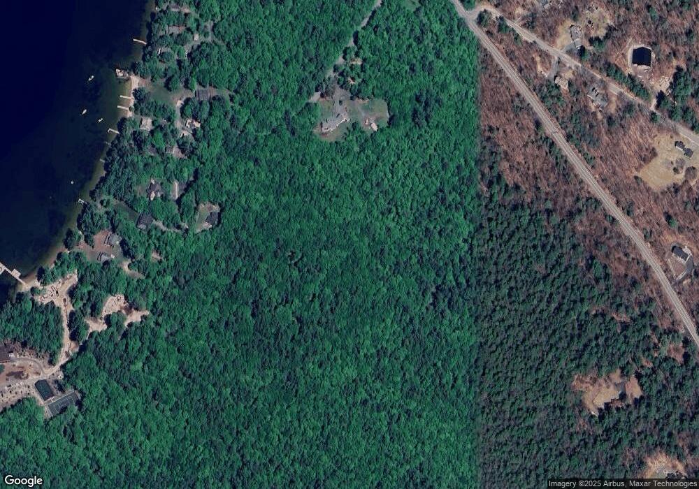
Map
Nearby Homes
- 617 & 619 Route 103a Map 91 Lot 37 38
- 273 Forest Acres Rd
- 000 Farwell Ln Unit 17
- 106-23 Fieldstone Ln
- 26 Otterville Rd
- 195 Pine Hill Rd
- 37 Baker Hill Rd
- 253 Lake Ave
- 10 Highland Ridge Rd
- 0 Newport Rd Unit 10
- 14 Lake Ave Unit 1
- 14 Lake Ave Unit 10
- 0 Summit Rd Unit 431
- 65 Barrett Rd
- 55 High St
- 770 Jobs Creek Rd
- 1024 Lake
- 91 Chalk Pond Rd
- Lot 39 Sunny Ln
- 71 Hilltop Place
- 168 Hastings Landing Rd
- 188 Hastings Landing Rd
- 188 Hastings Landing Rd
- 188 Hastings Landing Rd
- 149 Hastings Landing Rd
- 143 Hastings Landing Rd
- 144 Hastings Landing Rd
- 154 Hastings Landing Rd
- 159 Howard Rd
- 134 Hastings Landing Rd
- 48 Moyahs Ln
- 44 Moyahs Ln
- 63 Hastings Landing Rd
- 43 Moyahs Ln
- 47 Moyahs Ln
- 55 Moyahs Ln
- 57 Moyahs Ln
- 838 Route 103a
- 67 Moyahs Ln
- Lot 2 Route 103a