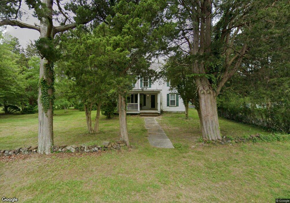
189 Lower Shore Rd Barnegat, NJ 08005
Barnegat Township NeighborhoodEstimated Value: $477,000 - $560,000
5
Beds
2
Baths
2,245
Sq Ft
$228/Sq Ft
Est. Value
About This Home
This home is located at 189 Lower Shore Rd, Barnegat, NJ 08005 and is currently estimated at $511,967, approximately $228 per square foot. 189 Lower Shore Rd is a home located in Ocean County with nearby schools including Barnegat High School.
Ownership History
Date
Name
Owned For
Owner Type
Purchase Details
Closed on
Oct 31, 2011
Sold by
Federal National Mortgage Association
Bought by
Zafis Osman B
Current Estimated Value
Home Financials for this Owner
Home Financials are based on the most recent Mortgage that was taken out on this home.
Original Mortgage
$170,563
Outstanding Balance
$117,591
Interest Rate
4.25%
Mortgage Type
FHA
Estimated Equity
$394,376
Purchase Details
Closed on
Feb 16, 2011
Sold by
Schuler Sarita T and Sommers Gerard J
Bought by
Federal National Mortgage Association
Purchase Details
Closed on
Jan 19, 2000
Sold by
Hahnlen William
Bought by
Schuler Sarita
Home Financials for this Owner
Home Financials are based on the most recent Mortgage that was taken out on this home.
Original Mortgage
$138,750
Interest Rate
7.83%
Create a Home Valuation Report for This Property
The Home Valuation Report is an in-depth analysis detailing your home's value as well as a comparison with similar homes in the area
Home Values in the Area
Average Home Value in this Area
Purchase History
| Date | Buyer | Sale Price | Title Company |
|---|---|---|---|
| Zafis Osman B | $175,000 | Madison Title Agency Llc | |
| Federal National Mortgage Association | -- | None Available | |
| Schuler Sarita | $185,000 | -- |
Source: Public Records
Mortgage History
| Date | Status | Borrower | Loan Amount |
|---|---|---|---|
| Open | Zafis Osman B | $170,563 | |
| Previous Owner | Schuler Sarita | $138,750 |
Source: Public Records
Tax History Compared to Growth
Tax History
| Year | Tax Paid | Tax Assessment Tax Assessment Total Assessment is a certain percentage of the fair market value that is determined by local assessors to be the total taxable value of land and additions on the property. | Land | Improvement |
|---|---|---|---|---|
| 2025 | $6,484 | $217,800 | $137,800 | $80,000 |
| 2024 | $6,340 | $217,800 | $137,800 | $80,000 |
| 2023 | $6,135 | $217,800 | $137,800 | $80,000 |
| 2022 | $6,135 | $217,800 | $137,800 | $80,000 |
| 2021 | $6,107 | $217,800 | $137,800 | $80,000 |
| 2020 | $6,079 | $217,800 | $137,800 | $80,000 |
| 2019 | $5,990 | $217,800 | $137,800 | $80,000 |
| 2018 | $5,944 | $217,800 | $137,800 | $80,000 |
| 2017 | $5,846 | $217,800 | $137,800 | $80,000 |
| 2016 | $5,726 | $217,800 | $137,800 | $80,000 |
| 2015 | $5,545 | $217,800 | $137,800 | $80,000 |
| 2014 | $5,404 | $217,800 | $137,800 | $80,000 |
Source: Public Records
Map
Nearby Homes
- 635 E Bay Ave
- 647 E Bay Ave
- 146 Brook St
- 19 Center St
- 26 Ridgeway St
- 100 Cedar Ln
- 68 Memorial Dr
- 408 N Main St
- 3 Whisper Way
- 280 Burr St Unit EXT
- 21 Rosehill Rd
- 441 E Bay Ave Unit 9
- 54 Bayview Blvd
- 299 Hawthorne Ln
- 332 Hawthorne Ln
- 27 Gibraltar Ct
- 10 Trinity Ct
- 9 Trinity Ct
- 3 Trinity Ct
- 7 Trinity Ct
- 193 Lower Shore Rd
- 191A Lower Shore Rd
- 191B Lower Shore Rd
- 290 Lower Shore Rd
- 179 Lower Shore Rd
- 288 Lower Shore Rd
- 175 Lower Shore Rd
- 197 Lower Shore Rd
- 286 Lower Shore Rd
- 298 Lower Shore Rd
- 6 Powell Ln
- 583 E Bay Ave
- 587 E Bay Ave
- 581 E Bay Ave
- 171 Lower Shore Rd
- 593 E Bay Ave
- 595 E Bay Ave
- 170 Lower Shore Rd
- 10 Powell Ln
- 597 E Bay Ave