189 Old Fort Rd La Pointe, WI 54850
Estimated Value: $488,203 - $719,000
Studio
--
Bath
--
Sq Ft
119,790
Sq Ft Lot
About This Home
This home is located at 189 Old Fort Rd, La Pointe, WI 54850 and is currently estimated at $565,801. 189 Old Fort Rd is a home with nearby schools including Bayfield High School.
Ownership History
Date
Name
Owned For
Owner Type
Purchase Details
Closed on
Jun 23, 2017
Sold by
Thickens David W
Bought by
Thickens Margaret A
Current Estimated Value
Purchase Details
Closed on
Mar 29, 2017
Sold by
Margaret A Thickens
Bought by
Thickens David W and Thickens Margaret A
Purchase Details
Closed on
Aug 7, 2007
Sold by
Sundquist Robert A and Sundquist Bonnie J
Bought by
Marchetti David A
Home Financials for this Owner
Home Financials are based on the most recent Mortgage that was taken out on this home.
Original Mortgage
$476,548
Interest Rate
6.77%
Mortgage Type
Future Advance Clause Open End Mortgage
Create a Home Valuation Report for This Property
The Home Valuation Report is an in-depth analysis detailing your home's value as well as a comparison with similar homes in the area
Purchase History
| Date | Buyer | Sale Price | Title Company |
|---|---|---|---|
| Thickens Margaret A | $360,000 | -- | |
| Thickens David W | -- | -- | |
| Marchetti David A | $505,000 | None Available |
Source: Public Records
Mortgage History
| Date | Status | Borrower | Loan Amount |
|---|---|---|---|
| Previous Owner | Marchetti David A | $476,548 |
Source: Public Records
Tax History
| Year | Tax Paid | Tax Assessment Tax Assessment Total Assessment is a certain percentage of the fair market value that is determined by local assessors to be the total taxable value of land and additions on the property. | Land | Improvement |
|---|---|---|---|---|
| 2025 | $9,275 | $426,900 | $182,800 | $244,100 |
| 2024 | $8,789 | $426,900 | $182,800 | $244,100 |
| 2023 | $9,125 | $360,000 | $162,000 | $198,000 |
| 2022 | $8,454 | $360,000 | $162,000 | $198,000 |
| 2021 | $8,420 | $360,000 | $162,000 | $198,000 |
| 2020 | $8,193 | $360,000 | $162,000 | $198,000 |
| 2019 | $7,768 | $360,000 | $162,000 | $198,000 |
| 2018 | $7,304 | $360,000 | $162,000 | $198,000 |
| 2017 | $7,154 | $360,000 | $162,000 | $198,000 |
| 2016 | $7,168 | $360,000 | $162,000 | $198,000 |
| 2015 | $7,571 | $360,000 | $162,000 | $198,000 |
| 2014 | $6,860 | $378,000 | $180,000 | $198,000 |
| 2013 | $7,113 | $378,000 | $180,000 | $198,000 |
Source: Public Records
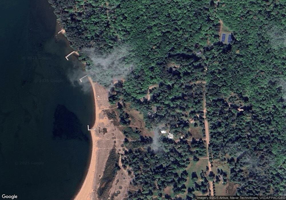
Map
Nearby Homes
- Lot 2, Block 2 Raspberry Trail
- Lot 3, Block 1 Raspberry Trail
- Lot 6, Block 1 Raspberry Trail
- Lot 5 Raspberry Trail
- Lot 1, Block 1 Raspberry Trail
- 804 Middle Rd
- 1117 S Shore Rd
- 1161 Middle Rd
- XXX Old San Rd Unit 12
- XXX Old San Rd Unit 11
- XXX Old San Rd Unit TBD-Farmhouse
- XXX Old San Rd Unit TBD- Woodland
- XXX Old San Rd Unit 16
- XXX Old San Rd Unit TBD-Field Pair
- 84860 Old San Rd Unit T4
- 84195 State Highway 13
- Lots 1-5 Wilson Ave
- 107 S 4th St
- 11XXX Old Military Rd
- 33 S 4th St
- 187 Old Fort Rd
- 160 Equaysayway Ln
- 174 Equaysayway Ln
- 165 Old Fort Rd
- 209 Old Fort Rd
- 181 Old Fort Rd
- 153 Old Fort Rd
- 223 Old Fort Rd
- 190 Equaysayway Ln
- 186 Old Fort Rd
- 212 Equaysayway Ln
- 136 Old Fort Rd
- 131 Old Fort Rd
- 224 Equaysayway Ln
- 299 Equaysayway Ln
- 236 Equaysayway Ln
- 347 Capser Rd
- 244 Equaysayway Ln
- 375 Capser Rd
- 361 Capser Rd
Your Personal Tour Guide
Ask me questions while you tour the home.