189 Pheasant Ridge Unit (Lot 6) Polson, MT 59860
Estimated Value: $281,000 - $303,000
--
Bed
--
Bath
--
Sq Ft
1.07
Acres
About This Home
This home is located at 189 Pheasant Ridge Unit (Lot 6), Polson, MT 59860 and is currently estimated at $290,881. 189 Pheasant Ridge Unit (Lot 6) is a home located in Lake County with nearby schools including Cherry Valley School, Linderman Elementary School, and Polson Middle School (7-8).
Ownership History
Date
Name
Owned For
Owner Type
Purchase Details
Closed on
Aug 31, 2018
Sold by
Yamada Wallace Donald E and Yamada Wallace Gloria
Bought by
Mckinney Evan M and Mckinney Diana M
Current Estimated Value
Purchase Details
Closed on
May 12, 2016
Sold by
Soward Kenneth
Bought by
Yamada Wallace Donald E and Yamada Wallace Gloria
Home Financials for this Owner
Home Financials are based on the most recent Mortgage that was taken out on this home.
Original Mortgage
$52,600
Interest Rate
3.71%
Mortgage Type
New Conventional
Create a Home Valuation Report for This Property
The Home Valuation Report is an in-depth analysis detailing your home's value as well as a comparison with similar homes in the area
Home Values in the Area
Average Home Value in this Area
Purchase History
| Date | Buyer | Sale Price | Title Company |
|---|---|---|---|
| Mckinney Evan M | -- | None Available | |
| Yamada Wallace Donald E | -- | None Available |
Source: Public Records
Mortgage History
| Date | Status | Borrower | Loan Amount |
|---|---|---|---|
| Previous Owner | Yamada Wallace Donald E | $52,600 |
Source: Public Records
Tax History Compared to Growth
Tax History
| Year | Tax Paid | Tax Assessment Tax Assessment Total Assessment is a certain percentage of the fair market value that is determined by local assessors to be the total taxable value of land and additions on the property. | Land | Improvement |
|---|---|---|---|---|
| 2025 | $932 | $211,410 | $0 | $0 |
| 2024 | $887 | $112,906 | $0 | $0 |
| 2023 | $823 | $112,906 | $0 | $0 |
| 2022 | $568 | $66,113 | $0 | $0 |
| 2021 | $630 | $66,113 | $0 | $0 |
| 2020 | $669 | $70,154 | $0 | $0 |
| 2019 | $678 | $70,154 | $0 | $0 |
| 2018 | $677 | $70,850 | $0 | $0 |
| 2017 | $662 | $70,850 | $0 | $0 |
| 2016 | $784 | $83,672 | $0 | $0 |
| 2015 | $753 | $143,432 | $0 | $0 |
| 2014 | $1,590 | $110,315 | $0 | $0 |
Source: Public Records
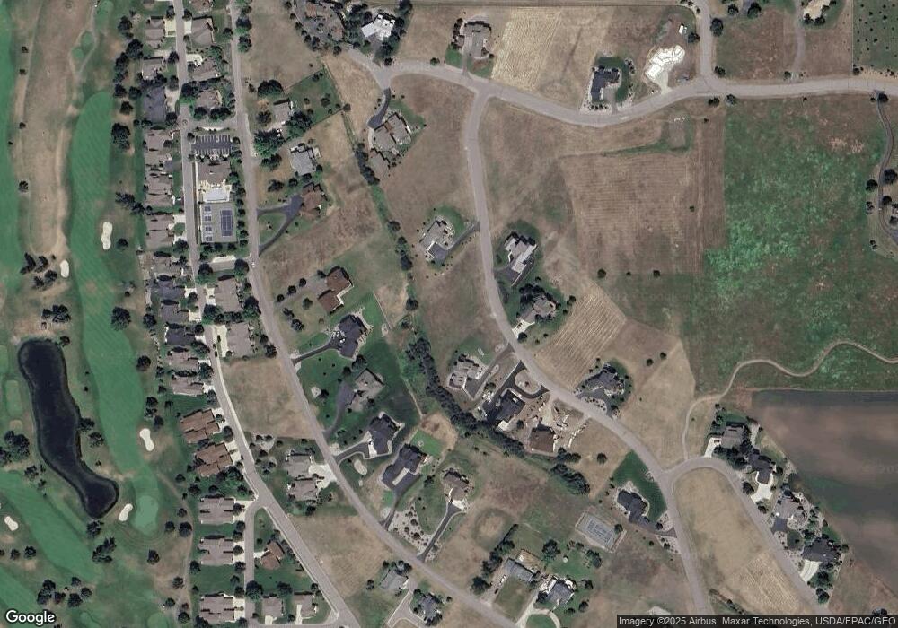
Map
Nearby Homes
- 189 Pheasant Ridge
- nhn Hawk Dr
- 108 Tundra Swan Way
- 372 Hawk Dr
- Nhn Tundra Swan Way
- 100 Reliance Landing
- 212 Pheasant Ridge Ln
- 102 Marias St
- Nhn Montana Landing
- LOT 34 Tundra Swan Way
- 114 Red Tail Rd
- 213 Pheasant Ridge
- 111 Gwenda Ln Unit B
- 109 Gwenda Ln Unit A
- 115 Gwenda Ln Unit B
- 113 Gwenda Ln Unit A
- 113 Mission Bay Dr
- 403 White Fox Run
- 107 Kari Ln
- 227 Pheasant Ridge
- 189 Pheasant Ridge Ln Unit (Lot 6)
- 189 Pheasant Ridge Ln
- 191 Pheasant Ridge Ln Unit (Lot 5)
- 191 Pheasant Ridge Unit (Lot 5)
- 191 Pheasant Ridge Ln
- 191 Pheasant Ridge
- 187 Pheasant Ridge Unit (Lot 7)
- 187 Pheasant Ridge
- 608 Hawk Dr
- 596 Hawk Dr
- 193 Pheasant Ridge Ln Unit (Lot 4)
- 193 Pheasant Ridge Unit (Lot 4)
- 193 Pheasant Ridge
- 193 Pheasant Ridge Ln
- 632 Hawk Dr
- 190 Pheasant Ridge Unit (Lot 20)
- 190 Pheasant Ridge Ln
- 190 Pheasant Ridge
- LOT 19 Pheasant Ridge
- 194 Pheasant Ridge