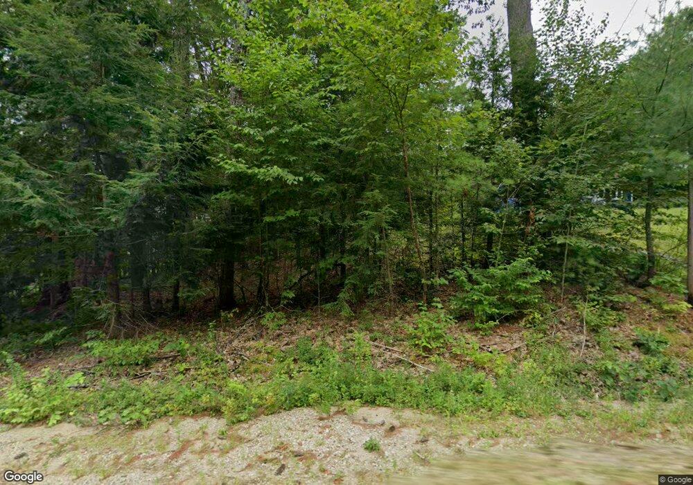
Estimated Value: $438,649 - $483,000
3
Beds
1
Bath
1,459
Sq Ft
$310/Sq Ft
Est. Value
About This Home
This home is located at 189 Pullman Rd, Mason, NH 03048 and is currently estimated at $452,912, approximately $310 per square foot. 189 Pullman Rd is a home.
Ownership History
Date
Name
Owned For
Owner Type
Purchase Details
Closed on
Mar 4, 2003
Sold by
Sheridan John C and Sheridan Lisa K
Bought by
Rafferty Benjamin A and Rafferty Kathleen D
Current Estimated Value
Home Financials for this Owner
Home Financials are based on the most recent Mortgage that was taken out on this home.
Original Mortgage
$156,000
Interest Rate
5.98%
Purchase Details
Closed on
Nov 7, 1997
Sold by
Benoit Brian D
Bought by
Sheridan John C and Sheridan Lisa K
Home Financials for this Owner
Home Financials are based on the most recent Mortgage that was taken out on this home.
Original Mortgage
$117,894
Interest Rate
7.19%
Create a Home Valuation Report for This Property
The Home Valuation Report is an in-depth analysis detailing your home's value as well as a comparison with similar homes in the area
Home Values in the Area
Average Home Value in this Area
Purchase History
| Date | Buyer | Sale Price | Title Company |
|---|---|---|---|
| Rafferty Benjamin A | $195,000 | -- | |
| Sheridan John C | $118,000 | -- |
Source: Public Records
Mortgage History
| Date | Status | Borrower | Loan Amount |
|---|---|---|---|
| Open | Sheridan John C | $160,590 | |
| Closed | Sheridan John C | $156,000 | |
| Previous Owner | Sheridan John C | $117,894 |
Source: Public Records
Tax History Compared to Growth
Tax History
| Year | Tax Paid | Tax Assessment Tax Assessment Total Assessment is a certain percentage of the fair market value that is determined by local assessors to be the total taxable value of land and additions on the property. | Land | Improvement |
|---|---|---|---|---|
| 2024 | $5,961 | $233,300 | $111,200 | $122,100 |
| 2023 | $5,534 | $233,300 | $111,200 | $122,100 |
| 2022 | $4,743 | $233,300 | $111,200 | $122,100 |
| 2021 | $4,629 | $233,300 | $111,200 | $122,100 |
| 2020 | $4,746 | $175,700 | $89,700 | $86,000 |
| 2019 | $4,610 | $175,700 | $89,700 | $86,000 |
| 2018 | $4,424 | $175,700 | $89,700 | $86,000 |
| 2017 | $4,416 | $175,600 | $89,700 | $85,900 |
| 2016 | $4,427 | $175,600 | $89,700 | $85,900 |
| 2015 | $5,191 | $218,300 | $82,200 | $136,100 |
| 2014 | $5,200 | $218,400 | $82,200 | $136,200 |
| 2013 | $5,438 | $218,400 | $82,200 | $136,200 |
Source: Public Records
Map
Nearby Homes
- 988 Greenville Rd
- 38 Countryside Dr
- 75 Merriam Hill Rd
- 104 N Mason Rd
- 49 Adams Ave
- 3 Ben Farnsworth Rd
- 26 Ben Farnsworth Rd
- 3 Bartons Ridge Rd
- 30 Holden Ln
- 119 Boynton Hill Rd
- 126 Boynton Hill Rd
- 36 Mill St
- 55 Bartons Ridge Rd
- 16 River St
- 16 River St Unit 16-18
- 131 Badger Hill Dr
- 87 Laurel Dr
- 39 Old Ashby Rd
- 81 Badger Hill Dr
- 68 Old Hillcrest Dr
- 167 Pullman Rd
- 156 Pullman Rd
- 151 Pullman Rd
- 225 Pullman Rd
- 247 Pullman Rd
- 120 Pullman Rd
- 923 Wilton Rd
- 293 Pullman Rd
- 746 Starch Mill Rd
- 931 Wilton Rd
- 194 Russell Rd
- 68 Pullman Rd
- 700 Starch Mill Rd
- 840 Starch Mill Rd
- 48 Russell Rd
- 56 Pullman Rd
- 780 Starch Mill Rd
- 0 Off Starch Mill Rd
- F-10 Starch Mill Rd
- 0 Starch Mill Rd
