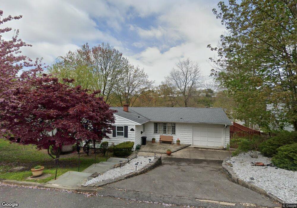
189 Rosedale Rd Yonkers, NY 10710
Estimated Value: $621,000 - $786,000
3
Beds
3
Baths
1,248
Sq Ft
$557/Sq Ft
Est. Value
About This Home
This home is located at 189 Rosedale Rd, Yonkers, NY 10710 and is currently estimated at $695,253, approximately $557 per square foot. 189 Rosedale Rd is a home located in Westchester County with nearby schools including St. Eugene School.
Ownership History
Date
Name
Owned For
Owner Type
Purchase Details
Closed on
Aug 29, 2024
Sold by
Provenzano Frances and Provenzano Louis
Bought by
Varghese Jimmy and Varghese Letha
Current Estimated Value
Home Financials for this Owner
Home Financials are based on the most recent Mortgage that was taken out on this home.
Original Mortgage
$526,500
Outstanding Balance
$520,867
Interest Rate
6.73%
Mortgage Type
New Conventional
Estimated Equity
$174,386
Create a Home Valuation Report for This Property
The Home Valuation Report is an in-depth analysis detailing your home's value as well as a comparison with similar homes in the area
Home Values in the Area
Average Home Value in this Area
Purchase History
| Date | Buyer | Sale Price | Title Company |
|---|---|---|---|
| Varghese Jimmy | $585,000 | All New York Title |
Source: Public Records
Mortgage History
| Date | Status | Borrower | Loan Amount |
|---|---|---|---|
| Open | Varghese Jimmy | $526,500 |
Source: Public Records
Tax History Compared to Growth
Tax History
| Year | Tax Paid | Tax Assessment Tax Assessment Total Assessment is a certain percentage of the fair market value that is determined by local assessors to be the total taxable value of land and additions on the property. | Land | Improvement |
|---|---|---|---|---|
| 2024 | $1,818 | $11,600 | $2,300 | $9,300 |
| 2023 | $2,056 | $11,600 | $2,300 | $9,300 |
| 2022 | $2,043 | $11,600 | $2,300 | $9,300 |
| 2021 | $7,674 | $11,600 | $2,300 | $9,300 |
| 2020 | $7,578 | $11,600 | $2,300 | $9,300 |
| 2019 | $9,766 | $11,600 | $2,300 | $9,300 |
| 2018 | $7,035 | $11,600 | $2,300 | $9,300 |
| 2017 | -- | $11,600 | $2,300 | $9,300 |
| 2016 | $6,808 | $11,600 | $2,300 | $9,300 |
| 2015 | -- | $11,600 | $2,300 | $9,300 |
| 2014 | -- | $11,600 | $2,300 | $9,300 |
| 2013 | -- | $11,600 | $2,300 | $9,300 |
Source: Public Records
Map
Nearby Homes
- 149 Longvue Terrace
- 10 Oakland Ave
- 14 Arcadia Place
- 32 Minerva Dr
- 1841 Central Park Ave Unit 4K
- 1841 Central Park Ave Unit 8E
- 2035 Central Park Ave Unit 1M
- 2035 Central Park Ave Unit 2H
- 2035 Central Park Ave Unit 3M
- 2035 Central Park Ave Unit 1S
- 130 Cresthill Rd
- 50 Chester Dr
- 101 Cresthill Rd
- 107 Kingsley Dr
- 56 Helena Ave
- 303 Helena Ave
- 74 Chester Dr
- 34 Helena Ave
- 32 Biltmore Ave
- 1 Avondale Rd
- 187 Rosedale Rd
- 185 Rosedale Rd
- 191 Rosedale Rd
- 110 Minerva Dr
- 118 Minerva Dr
- 197 Rosedale Rd
- 114 Minerva Dr
- 106 Minerva Dr
- 192 Rosedale Rd
- 173 Rosedale Rd
- 124 Minerva Dr
- 180 Rosedale Rd
- 194 Rosedale Rd
- 41 Saint George Pkwy
- 203 Rosedale Rd
- 201 Rosedale Rd
- 200 Rosedale Rd
- 126 Minerva Dr
- 128 Minerva Dr
- 183 Longvue Terrace