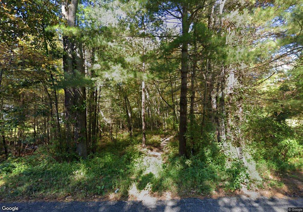
189 Slater Rd Tolland, CT 06084
Estimated Value: $441,000 - $491,000
3
Beds
2
Baths
1,632
Sq Ft
$287/Sq Ft
Est. Value
About This Home
This home is located at 189 Slater Rd, Tolland, CT 06084 and is currently estimated at $467,836, approximately $286 per square foot. 189 Slater Rd is a home located in Tolland County with nearby schools including Birch Grove Primary School, Tolland Intermediate School, and Tolland Middle School.
Create a Home Valuation Report for This Property
The Home Valuation Report is an in-depth analysis detailing your home's value as well as a comparison with similar homes in the area
Home Values in the Area
Average Home Value in this Area
Tax History Compared to Growth
Tax History
| Year | Tax Paid | Tax Assessment Tax Assessment Total Assessment is a certain percentage of the fair market value that is determined by local assessors to be the total taxable value of land and additions on the property. | Land | Improvement |
|---|---|---|---|---|
| 2025 | $7,643 | $281,100 | $120,000 | $161,100 |
| 2024 | $8,336 | $220,700 | $116,700 | $104,000 |
| 2023 | $8,239 | $220,700 | $116,700 | $104,000 |
| 2022 | $8,073 | $220,700 | $116,700 | $104,000 |
| 2021 | $8,190 | $220,700 | $116,700 | $104,000 |
| 2020 | $7,956 | $220,700 | $116,700 | $104,000 |
| 2019 | $8,072 | $223,900 | $118,800 | $105,100 |
| 2018 | $7,837 | $223,900 | $118,800 | $105,100 |
| 2017 | $7,655 | $223,900 | $118,800 | $105,100 |
| 2016 | $7,655 | $223,900 | $118,800 | $105,100 |
| 2015 | $7,469 | $223,900 | $118,800 | $105,100 |
| 2014 | $7,449 | $239,900 | $126,800 | $113,100 |
Source: Public Records
Map
Nearby Homes
- 128 Slater Rd
- 368 Buff Cap Rd
- 476 Old Stafford Rd
- 322 Buff Cap Rd
- 71 Neff Hill Rd
- 461 Old Stafford Rd
- 8 Neff Hill Rd
- 100 Neff Hill Rd
- 137 Neff Hill Rd
- 130 Neff Hill Rd
- 105 Neff Hill Rd
- 110 Neff Hill Rd
- 84 Neff Hill Rd
- 77 Neff Hill Rd
- 68 Usher Ridge
- 15 Usher Ridge
- 36 Usher Ridge
- 745 Old Stafford Rd
- 120 Derek Dr
- 66 Deerwood Rd
