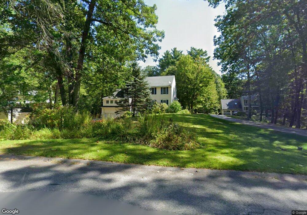
189 Stable Rd Milford, NH 03055
Estimated Value: $597,465 - $724,000
3
Beds
3
Baths
2,272
Sq Ft
$295/Sq Ft
Est. Value
About This Home
This home is located at 189 Stable Rd, Milford, NH 03055 and is currently estimated at $669,366, approximately $294 per square foot. 189 Stable Rd is a home with nearby schools including Jacques Memorial Elementary School, Heron Pond Elementary School, and Milford Middle School.
Ownership History
Date
Name
Owned For
Owner Type
Purchase Details
Closed on
Apr 5, 2004
Sold by
Doyle David M
Bought by
Butler Paul T and Butler Elizabeth
Current Estimated Value
Home Financials for this Owner
Home Financials are based on the most recent Mortgage that was taken out on this home.
Original Mortgage
$235,000
Interest Rate
5.56%
Mortgage Type
Purchase Money Mortgage
Purchase Details
Closed on
Oct 14, 1999
Sold by
Rooney Denis G and Rooney Melodie A
Bought by
Doyle David M
Home Financials for this Owner
Home Financials are based on the most recent Mortgage that was taken out on this home.
Original Mortgage
$208,550
Interest Rate
7.8%
Purchase Details
Closed on
Feb 27, 1998
Sold by
Hall Conway Const Corp
Bought by
Rooney Denis G and Rooney Melodie
Home Financials for this Owner
Home Financials are based on the most recent Mortgage that was taken out on this home.
Original Mortgage
$120,000
Interest Rate
6.85%
Create a Home Valuation Report for This Property
The Home Valuation Report is an in-depth analysis detailing your home's value as well as a comparison with similar homes in the area
Home Values in the Area
Average Home Value in this Area
Purchase History
| Date | Buyer | Sale Price | Title Company |
|---|---|---|---|
| Butler Paul T | $322,500 | -- | |
| Doyle David M | $215,000 | -- | |
| Rooney Denis G | $170,300 | -- |
Source: Public Records
Mortgage History
| Date | Status | Borrower | Loan Amount |
|---|---|---|---|
| Open | Rooney Denis G | $209,000 | |
| Closed | Rooney Denis G | $235,000 | |
| Previous Owner | Rooney Denis G | $208,550 | |
| Previous Owner | Rooney Denis G | $120,000 |
Source: Public Records
Tax History
| Year | Tax Paid | Tax Assessment Tax Assessment Total Assessment is a certain percentage of the fair market value that is determined by local assessors to be the total taxable value of land and additions on the property. | Land | Improvement |
|---|---|---|---|---|
| 2025 | $10,883 | $419,700 | $94,100 | $325,600 |
| 2024 | $9,934 | $419,700 | $94,100 | $325,600 |
| 2023 | $9,305 | $419,700 | $94,100 | $325,600 |
| 2022 | $8,726 | $419,700 | $94,100 | $325,600 |
| 2021 | $8,457 | $419,700 | $94,100 | $325,600 |
| 2020 | $9,006 | $355,000 | $69,600 | $285,400 |
| 2019 | $9,219 | $355,000 | $69,600 | $285,400 |
| 2018 | $8,792 | $300,800 | $69,600 | $231,200 |
| 2017 | $8,841 | $300,800 | $69,600 | $231,200 |
| 2016 | $8,711 | $300,800 | $69,600 | $231,200 |
| 2015 | $8,325 | $291,500 | $69,600 | $221,900 |
| 2014 | $7,958 | $291,500 | $69,600 | $221,900 |
| 2013 | $7,862 | $291,500 | $69,600 | $221,900 |
Source: Public Records
Map
Nearby Homes
- 197 Stable Rd
- 34 Stable Rd
- 11 Pendleton Farms Ln
- 28 James St Unit 13
- 6 Reserve Way
- 7 Jennifer Ln
- 0 Claude Rd
- 449 Silver Lake Rd
- 447 Silver Lake Rd Unit A
- 447 Silver Lake Rd Unit B
- 238 Nashua St
- 38 Oak St
- 14 Boylston Terrace
- 15 Martingale Rd
- 18 Souhegan St
- 4 Orange St
- 31 Franklin St
- 11 Myrtle St
- 7 Mulberry Ln
- 464 Boston Post Rd Unit 5
Your Personal Tour Guide
Ask me questions while you tour the home.