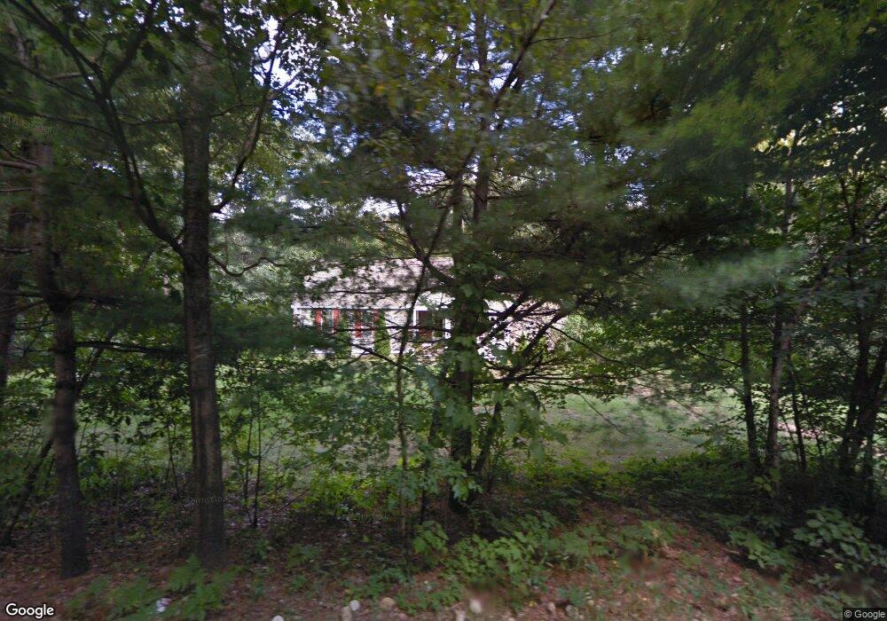
189 Wallace Rd Bedford, NH 03110
Bedford NeighborhoodEstimated Value: $643,989 - $699,000
3
Beds
3
Baths
2,164
Sq Ft
$309/Sq Ft
Est. Value
About This Home
This home is located at 189 Wallace Rd, Bedford, NH 03110 and is currently estimated at $669,747, approximately $309 per square foot. 189 Wallace Rd is a home located in Hillsborough County with nearby schools including Mckelvie Intermediate School, Ross A. Lurgio Middle School, and Bedford High School.
Ownership History
Date
Name
Owned For
Owner Type
Purchase Details
Closed on
Jun 2, 2003
Sold by
Dionne Kenneth
Bought by
Sheedy Diana M and Sheedy Augustine J
Current Estimated Value
Create a Home Valuation Report for This Property
The Home Valuation Report is an in-depth analysis detailing your home's value as well as a comparison with similar homes in the area
Home Values in the Area
Average Home Value in this Area
Purchase History
| Date | Buyer | Sale Price | Title Company |
|---|---|---|---|
| Sheedy Diana M | $318,000 | -- |
Source: Public Records
Mortgage History
| Date | Status | Borrower | Loan Amount |
|---|---|---|---|
| Open | Sheedy Diana M | $218,781 | |
| Closed | Sheedy Diana M | $230,066 | |
| Closed | Sheedy Diana M | $68,900 | |
| Closed | Sheedy Diana M | $87,800 |
Source: Public Records
Tax History Compared to Growth
Tax History
| Year | Tax Paid | Tax Assessment Tax Assessment Total Assessment is a certain percentage of the fair market value that is determined by local assessors to be the total taxable value of land and additions on the property. | Land | Improvement |
|---|---|---|---|---|
| 2024 | $8,759 | $554,000 | $220,600 | $333,400 |
| 2023 | $8,199 | $554,000 | $220,600 | $333,400 |
| 2022 | $8,020 | $455,700 | $163,500 | $292,200 |
| 2021 | $7,811 | $455,700 | $163,500 | $292,200 |
| 2020 | $7,463 | $372,800 | $118,600 | $254,200 |
| 2019 | $7,065 | $372,800 | $118,600 | $254,200 |
| 2018 | $6,861 | $336,300 | $111,700 | $224,600 |
| 2017 | $4,189 | $336,300 | $111,700 | $224,600 |
| 2016 | $6,326 | $282,800 | $83,900 | $198,900 |
| 2015 | $6,437 | $282,800 | $83,900 | $198,900 |
| 2014 | $6,363 | $282,800 | $83,900 | $198,900 |
| 2013 | $6,270 | $282,800 | $83,900 | $198,900 |
Source: Public Records
Map
Nearby Homes
- 116 Nashua Rd
- 155 Wallace Rd
- 7 Hamilton Way
- 150 Wallace Rd
- 95 Hitching Post Ln
- 10 Barrington Dr
- 197 Liberty Hill Rd
- 40 Seton Dr
- 17-4-28 Boiling Kettle Way
- 17-4-28 Boiling Kettle Way Unit 28
- 52 Hardy Rd
- 20 Liberty Hill Rd
- 56 Greenfield Pkwy
- 40 Strafford Ln
- 16 Summit Rd
- 258 N Amherst Rd Unit 34
- 18 Horizon Dr
- 44 McQuade Brook Rd
- 82 Pilgrim Dr
- 276 N Amherst Rd
- 183 Wallace Rd
- 1 Alder Way
- 19 Presidential Rd
- 20 Presidential Rd
- 184 Wallace Rd
- 179 Wallace Rd
- 3 Alder Way
- 15 Presidential Rd
- 180 Wallace Rd
- 16 Presidential Rd
- 201 Wallace Rd
- 13 Presidential Rd
- 173 Wallace Rd
- 9 Presidential Rd
- 7 Alder Way
- 14 Presidential Rd
- 9 Brick Mill Rd
- 174 Wallace Rd
- 10 Presidential Rd
- 8 Brick Mill Rd