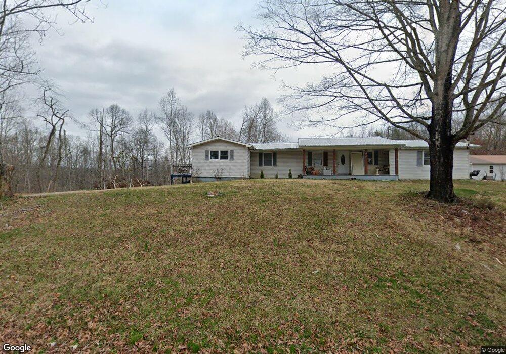
1890 Loudon Hwy Philadelphia, TN 37846
Estimated Value: $228,000 - $347,000
--
Bed
2
Baths
1,672
Sq Ft
$166/Sq Ft
Est. Value
About This Home
This home is located at 1890 Loudon Hwy, Philadelphia, TN 37846 and is currently estimated at $277,641, approximately $166 per square foot. 1890 Loudon Hwy is a home located in Roane County with nearby schools including Midway Elementary School, Kingston Elementary School, and Midtown Elementary School.
Ownership History
Date
Name
Owned For
Owner Type
Purchase Details
Closed on
Oct 29, 2020
Sold by
Brewster William Floyd and Brewster Mary
Bought by
Wolfenbarger William J
Current Estimated Value
Purchase Details
Closed on
Sep 28, 2006
Sold by
Kathleen Brewster
Bought by
Brewster William F
Purchase Details
Closed on
Sep 5, 1964
Bought by
Brewster William F and Brewster Kathl
Create a Home Valuation Report for This Property
The Home Valuation Report is an in-depth analysis detailing your home's value as well as a comparison with similar homes in the area
Home Values in the Area
Average Home Value in this Area
Purchase History
| Date | Buyer | Sale Price | Title Company |
|---|---|---|---|
| Wolfenbarger William J | $150,000 | Southeastern Ttl & Abstract | |
| Brewster William F | -- | -- | |
| Brewster William F | -- | -- |
Source: Public Records
Tax History Compared to Growth
Tax History
| Year | Tax Paid | Tax Assessment Tax Assessment Total Assessment is a certain percentage of the fair market value that is determined by local assessors to be the total taxable value of land and additions on the property. | Land | Improvement |
|---|---|---|---|---|
| 2024 | $1,451 | $60,475 | $8,525 | $51,950 |
| 2023 | $1,451 | $60,475 | $8,525 | $51,950 |
| 2022 | $1,385 | $57,725 | $8,525 | $49,200 |
| 2021 | $1,426 | $57,725 | $8,525 | $49,200 |
| 2020 | $1,426 | $57,725 | $8,525 | $49,200 |
| 2019 | $1,257 | $46,825 | $9,825 | $37,000 |
| 2018 | $1,206 | $46,825 | $9,825 | $37,000 |
| 2017 | $1,206 | $46,825 | $9,825 | $37,000 |
| 2016 | $1,206 | $46,825 | $9,825 | $37,000 |
| 2015 | $1,206 | $46,825 | $9,825 | $37,000 |
| 2013 | -- | $52,075 | $10,325 | $41,750 |
Source: Public Records
Map
Nearby Homes
- 224 Pattie Gap Rd
- 150 Cedar Grove Rd
- 365 Pattie Gap Rd
- 436 Cedar Grove Rd
- 140 Britton Rd
- 2135 Stockton Valley Rd
- 235 Ranch Rd
- 471 Cedar Grove Rd
- 3475 Foshee Rd
- 3493 Foshee Rd
- 39600 Highway 72 N
- 39600 Tennessee 72
- 114 Viars Rd
- 0 Cedar Grove Rd
- 3405 Foshee Rd
- 37011 Tennessee 72
- 119 Arnold Rd
- 0 High Ridge Rd
- 160 Little Shubert Rd
- 29201 Tennessee 72
- 0 Highway 72 Unit 1049462
- 1925 Loudon Hwy
- 110 Pattie Gap Rd
- 110 Pattie Gap Rd
- 0 Loudon Pattie Gap Hwy Unit 885034
- 1845 Loudon Hwy
- 1981 Loudon Hwy
- 0 Loudon Highway 72
- 0 Off Loudon Hwy Unit 845366
- 164 Pattie Gap Rd
- 230 Pattie Gap Rd
- 183 Cedar Grove Rd
- 226 Pattie Gap Rd
- 226 Pattie Gap Rd
- 266 Pattie Gap Rd
- 268 Pattie Gap Rd
- 221 Pattie Gap Rd
- 177 Cedar Grove Rd
- 191 Pattie Gap Rd
- 203 Pattie Gap Rd