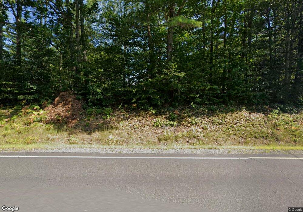
1890 Nh Route 119 Rindge, NH 03461
Estimated Value: $511,000 - $565,000
3
Beds
2
Baths
2,498
Sq Ft
$214/Sq Ft
Est. Value
About This Home
This home is located at 1890 Nh Route 119, Rindge, NH 03461 and is currently estimated at $535,146, approximately $214 per square foot. 1890 Nh Route 119 is a home located in Cheshire County with nearby schools including Rindge Memorial School, Conant Middle High School, and Conant High School.
Ownership History
Date
Name
Owned For
Owner Type
Purchase Details
Closed on
Aug 7, 2020
Sold by
Casey Dennis W and Casey Susan A
Bought by
Latulippe Kyle and Latulippe Riley J
Current Estimated Value
Home Financials for this Owner
Home Financials are based on the most recent Mortgage that was taken out on this home.
Original Mortgage
$251,000
Outstanding Balance
$223,066
Interest Rate
3.1%
Mortgage Type
New Conventional
Estimated Equity
$312,080
Create a Home Valuation Report for This Property
The Home Valuation Report is an in-depth analysis detailing your home's value as well as a comparison with similar homes in the area
Home Values in the Area
Average Home Value in this Area
Purchase History
| Date | Buyer | Sale Price | Title Company |
|---|---|---|---|
| Latulippe Kyle | $325,000 | None Available |
Source: Public Records
Mortgage History
| Date | Status | Borrower | Loan Amount |
|---|---|---|---|
| Open | Latulippe Kyle | $251,000 |
Source: Public Records
Tax History Compared to Growth
Tax History
| Year | Tax Paid | Tax Assessment Tax Assessment Total Assessment is a certain percentage of the fair market value that is determined by local assessors to be the total taxable value of land and additions on the property. | Land | Improvement |
|---|---|---|---|---|
| 2024 | $6,975 | $275,600 | $65,700 | $209,900 |
| 2023 | $6,901 | $275,600 | $65,700 | $209,900 |
| 2022 | $6,485 | $281,600 | $65,700 | $215,900 |
| 2021 | $6,378 | $281,600 | $65,700 | $215,900 |
| 2020 | $0 | $281,600 | $65,700 | $215,900 |
| 2019 | $0 | $199,300 | $56,300 | $143,000 |
| 2018 | $5,192 | $188,800 | $56,300 | $132,500 |
| 2017 | $5,661 | $208,200 | $56,300 | $151,900 |
| 2016 | $3,873 | $208,200 | $56,300 | $151,900 |
| 2015 | $5,266 | $188,800 | $56,300 | $132,500 |
| 2014 | $5,289 | $203,200 | $85,500 | $117,700 |
| 2013 | $5,173 | $203,200 | $85,500 | $117,700 |
Source: Public Records
Map
Nearby Homes
- 26 Weidner Dr
- 239 Abel Rd
- 00 Fullam Hill Rd Unit 5, 6, 50
- 42 Cromwell Dr Unit 19
- 310 Nh Route 119 E
- 78 Pine Eden Rd
- 206 New Hampshire 119
- 41 Willow Ln
- 37 Willow Ln
- 31 Willow Ln
- 0 Thomas Rd Unit 10 5014817
- 39 Willow Ln
- 00 Scott Pond Rd
- 801 Rt 12 S
- 45 Camp Cir
- 60 Fern Cir Unit 1-59
- 74 Fern Cir
- 257 Lakeside Dr
- 20 W Main St
- 115 Brook Side Rd Unit 2-12
- 1890 Nh Route 119
- 13 New Hampshire 119
- 18 Meadow View Rd
- 1872 Nh Route 119
- 7 Freedom Ln
- 7 Freedom Ln
- 2-6 Whitetail Run
- 5 Freedom Ln
- 0 Freedom Ln Unit 4221939
- 2-7 Whitetail Run
- 1857 Nh Route 119
- 13 Freedom Ln
- 3 Freedom Ln
- 1860 Nh Route 119
- 00 Route 119w
- 1948 Nh Route 119
- 35 Meadow View Rd
- 60 Meadow View Rd Unit 16
- 60 Meadow View Rd Unit 17
- 60 Meadow View Rd Unit 19
