Estimated Value: $385,000 - $474,000
2
Beds
1
Bath
1,092
Sq Ft
$393/Sq Ft
Est. Value
About This Home
This home is located at 18900 SE McQuaw Rd, Sandy, OR 97055 and is currently estimated at $429,564, approximately $393 per square foot. 18900 SE McQuaw Rd is a home located in Clackamas County with nearby schools including Firwood Elementary School, Cedar Ridge Middle School, and Sandy High School.
Ownership History
Date
Name
Owned For
Owner Type
Purchase Details
Closed on
Sep 20, 2022
Sold by
Underwood Charles H and Underwood Paula K
Bought by
Anderson Justin and Anderson Katrina
Current Estimated Value
Purchase Details
Closed on
Dec 4, 2001
Sold by
Underwood Charles H and Underwood Paula K
Bought by
Anderson Justin and Anderson Katrina
Home Financials for this Owner
Home Financials are based on the most recent Mortgage that was taken out on this home.
Original Mortgage
$135,000
Interest Rate
7.75%
Mortgage Type
Seller Take Back
Create a Home Valuation Report for This Property
The Home Valuation Report is an in-depth analysis detailing your home's value as well as a comparison with similar homes in the area
Home Values in the Area
Average Home Value in this Area
Purchase History
| Date | Buyer | Sale Price | Title Company |
|---|---|---|---|
| Anderson Justin | $140,000 | -- | |
| Anderson Justin | $140,000 | First American Title Ins Co |
Source: Public Records
Mortgage History
| Date | Status | Borrower | Loan Amount |
|---|---|---|---|
| Previous Owner | Anderson Justin | $135,000 |
Source: Public Records
Tax History Compared to Growth
Tax History
| Year | Tax Paid | Tax Assessment Tax Assessment Total Assessment is a certain percentage of the fair market value that is determined by local assessors to be the total taxable value of land and additions on the property. | Land | Improvement |
|---|---|---|---|---|
| 2024 | $2,752 | $205,620 | -- | -- |
| 2023 | $2,752 | $199,632 | $0 | $0 |
| 2022 | $2,610 | $193,818 | $0 | $0 |
| 2021 | $2,258 | $168,791 | $0 | $0 |
| 2020 | $2,198 | $163,875 | $0 | $0 |
| 2019 | $2,188 | $159,102 | $0 | $0 |
| 2018 | $2,127 | $154,468 | $0 | $0 |
| 2017 | $2,079 | $149,969 | $0 | $0 |
| 2016 | $2,004 | $145,601 | $0 | $0 |
| 2015 | $1,948 | $141,360 | $0 | $0 |
| 2014 | $1,898 | $137,243 | $0 | $0 |
Source: Public Records
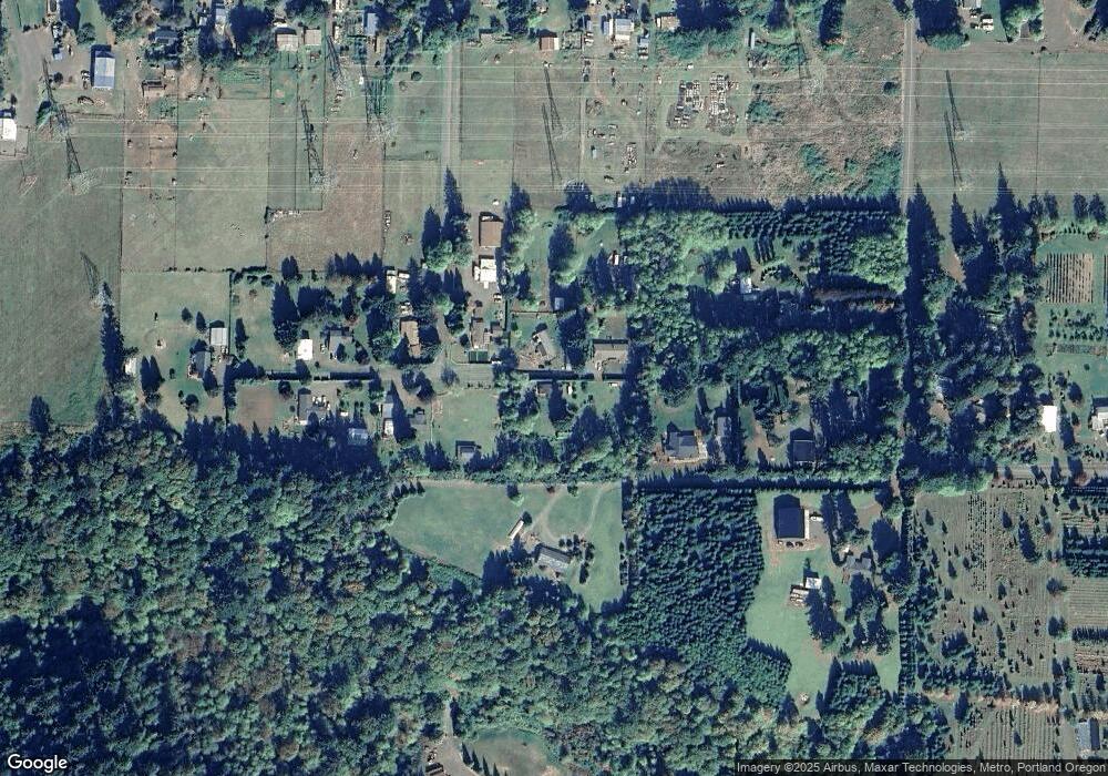
Map
Nearby Homes
- 45495 SE Coalman Rd
- 44871 SE Highway 26
- 19151 SE Veneer Ln
- 20671 SE Greenleaf Dr
- 42125 SE Luzon Ln
- 41890 Deschutes Ave Unit 82A
- 41900 Deschutes Ave Unit 81A
- 41800 Deschutes Ave Unit 86A
- 19005 Ochoco Ct Unit 65
- 18905 Crooked River St Unit 46
- 19025 Ochoco Ct Unit 67
- 19100 Ochoco Ct Unit Lot 70
- 41820 Deschutes Ave Unit Lot 85B
- The Wildcat Plan at Hoodview Heights
- The Rock Creek Plan at Hoodview Heights
- The Hoodland Plan at Hoodview Heights
- The Cedar Creek Plan at Hoodview Heights
- The Brightwood Plan at Hoodview Heights
- 18855 Crooked River St Unit 41
- 18935 Crooked River St Unit 49
- 18880 SE McQuaw Rd
- 18860 SE McQuaw Rd
- 45206 SE Coalman Rd
- 18920 SE McQuaw Rd
- 18830 SE McQuaw Rd
- 45180 SE Coalman Rd
- 18845 SE McQuaw Rd
- 45190 SE Coalman Rd
- 45194 SE Coalman Rd
- 18933 SE McQuaw Rd
- 45210 SE Coalman Rd
- 18895 SE McQuaw Rd
- 45235 SE Coalman Rd
- 18919 SE McQuaw Rd
- 44848 SE Coalman Rd
- 45204 SE Coalman Rd
- 18550 SE McQuaw Rd
- 44900 SE Coalman Rd
- 44964 SE Coalman Rd
- 44744 SE Coalman Rd