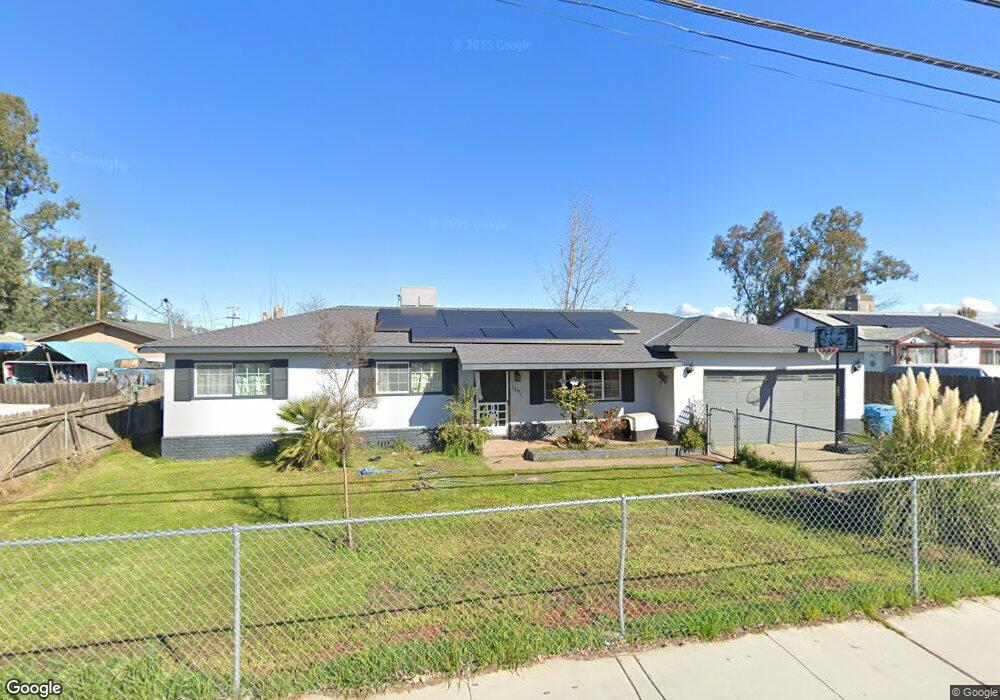
1891 11th Ave Olivehurst, CA 95961
Estimated Value: $275,309 - $308,000
3
Beds
2
Baths
984
Sq Ft
$299/Sq Ft
Est. Value
About This Home
This home is located at 1891 11th Ave, Olivehurst, CA 95961 and is currently estimated at $294,327, approximately $299 per square foot. 1891 11th Ave is a home located in Yuba County with nearby schools including Ella Elementary School, Yuba Gardens Intermediate School, and Lindhurst High School.
Ownership History
Date
Name
Owned For
Owner Type
Purchase Details
Closed on
Nov 28, 2001
Sold by
Thao Tou
Bought by
Ticarat Daniel
Current Estimated Value
Home Financials for this Owner
Home Financials are based on the most recent Mortgage that was taken out on this home.
Original Mortgage
$65,550
Outstanding Balance
$25,804
Interest Rate
6.67%
Estimated Equity
$268,523
Create a Home Valuation Report for This Property
The Home Valuation Report is an in-depth analysis detailing your home's value as well as a comparison with similar homes in the area
Home Values in the Area
Average Home Value in this Area
Purchase History
| Date | Buyer | Sale Price | Title Company |
|---|---|---|---|
| Ticarat Daniel | $69,000 | North State Title Company | |
| Ticarat Daniel | -- | North State Title Company |
Source: Public Records
Mortgage History
| Date | Status | Borrower | Loan Amount |
|---|---|---|---|
| Open | Ticarat Daniel | $65,550 |
Source: Public Records
Tax History
| Year | Tax Paid | Tax Assessment Tax Assessment Total Assessment is a certain percentage of the fair market value that is determined by local assessors to be the total taxable value of land and additions on the property. | Land | Improvement |
|---|---|---|---|---|
| 2025 | $1,605 | $101,910 | $28,056 | $73,854 |
| 2023 | $1,605 | $97,954 | $26,967 | $70,987 |
| 2022 | $1,843 | $96,035 | $26,439 | $69,596 |
| 2021 | $1,224 | $94,153 | $25,921 | $68,232 |
| 2020 | $1,467 | $93,189 | $25,656 | $67,533 |
| 2019 | $1,077 | $91,362 | $25,153 | $66,209 |
| 2018 | $1,063 | $89,571 | $24,660 | $64,911 |
| 2017 | $1,402 | $87,816 | $24,177 | $63,639 |
| 2016 | $1,384 | $86,095 | $23,703 | $62,392 |
| 2015 | -- | $84,802 | $23,347 | $61,455 |
| 2014 | $989 | $83,142 | $22,890 | $60,252 |
Source: Public Records
Map
Nearby Homes
- 4654 Powerline Rd
- 1929 Glenmore Dr
- 4600 Olivehurst Ave
- 757 Pacific Grove Way
- 4745 Olivehurst Ave
- 4470 College Way
- 1932 8th Ave
- 1906 15th St
- 4457 College Way
- 4429 Ardmore Ave
- 1829 8th Ave
- 1984 15th St
- 4827 Olivehurst Ave
- 1984 16th St
- 798 Berryessa Way
- 794 Berryessa Way
- 4294 Lever Ave
- 4355 Evelyn Dr
- 4694 Pacific Ave
- 4529 Arboga Rd
- 1897 11th Ave
- 4635 Fleming Way
- 4647 Fleming Way
- 1903 11th Ave
- 4738 Fleming Way
- 1884 11th Ave
- 4657 Fleming Way
- 4638 Fleming Way
- 1878 11th Ave
- 1871 11th Ave
- 1890 11th Ave
- 1896 11th Ave
- 1902 11th Ave
- 4661 Fleming Way
- 1874 11th Ave
- 4646 Fleming Way
- 1863 11th Ave
- 1870 11th Ave
- 1914 11th Ave
- 4692 Fleming Way
Your Personal Tour Guide
Ask me questions while you tour the home.